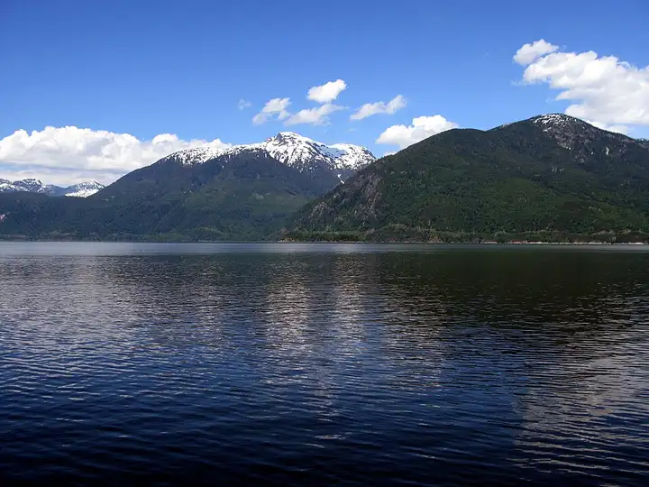
Sea-to-Sky Highway, from Horseshoe Bay to Whistler
103 km (64 miles), 1 hr 20 min, beginner
Photo: Kyla Duhamel, CC BY 2.0, resizedMotorcycle ride in British Columbia
101 km (62 miles), 1 hr 35 min, advanced
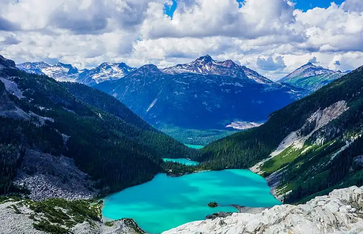
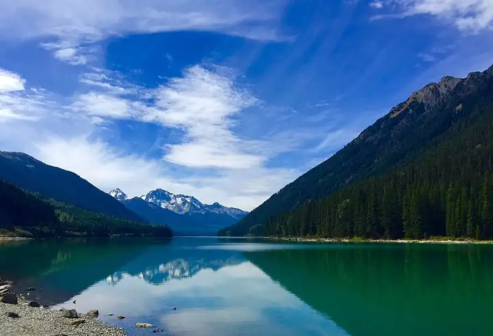
After Pemberton, Highway 99 leaves the valley on 13% gradients, crosses Cayoosh Pass and runs along Duffey Lake before following Cayoosh Creek to Lillooet. It passes the car park for Joffre Lakes (Pipi7íyekw), one of the most sought-after hikes in British Columbia, with a chain of glacial lakes one above the other. The road is narrow and very twisty, with few hard shoulders, possible loose chippings and long descents where you need to change down to spare your brakes. To walk to Joffre Lakes, a day pass per person is required from 11 May to 25 October 2026 (booked online at 7 am, two days ahead), and the park is closed to visitors from 20 to 27 June and from 8 to 30 September.
Download the GPXTrack and stops as a GPX file, for a sat nav or another app.
In MotoLert, this ride is one of the roadbooks: its route, stops and photos are in the app. Premium guides you along it; camera zones and reported hazards stay free. The app is coming soon to iPhone.
103 km (64 miles), 1 hr 20 min, beginner
Photo: Kyla Duhamel, CC BY 2.0, resized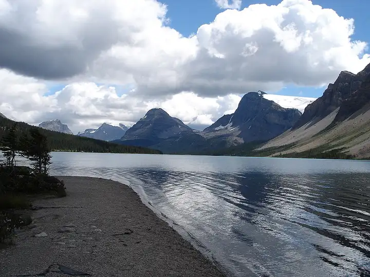
232 km (144 miles), 2 hr 30 min, beginner
Photo: Yo Hibino, CC BY 2.0, resized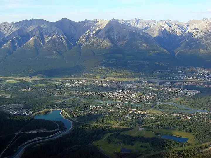
181 km (112 miles), 2 hr 5 min, intermediate
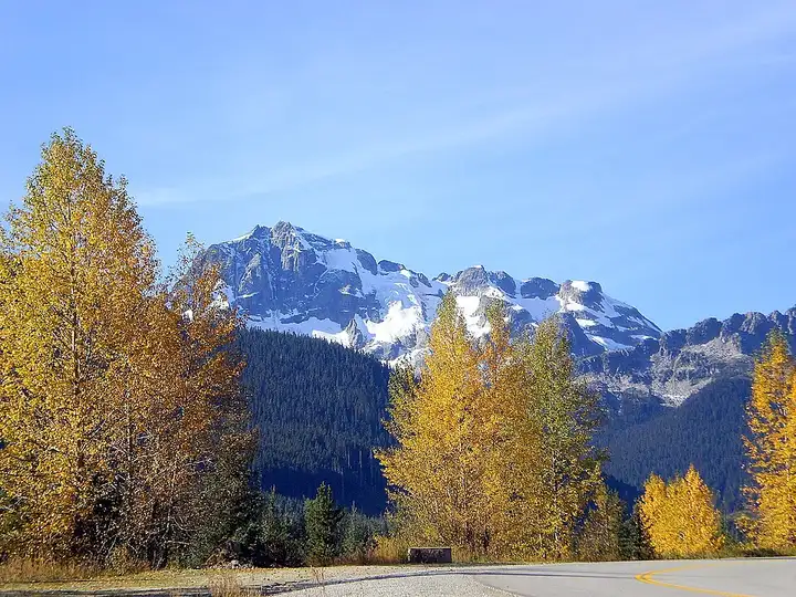
Photo: Vintotal, CC BY-SA 3.0, resizedRoads change: passes close in winter, roadworks, rockfalls, local restrictions. Check the road before you set off. MotoLert does not replace road signs or the Highway Code.
Route planned by MotoLert with Valhalla on © OpenStreetMap contributors data (ODbL). Photos from Wikimedia Commons, with the author and licence under each image.