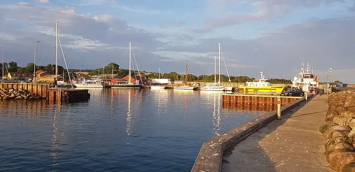
Island of Møn and the Møns Klint cliffs
23 km (14 miles), 30 min, beginner
Photo: Kht83, CC BY-SA 4.0, resizedMotorcycle ride in Zealand
37 km (23 miles), 45 min, beginner
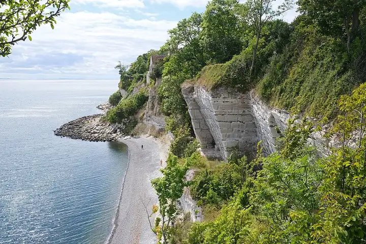
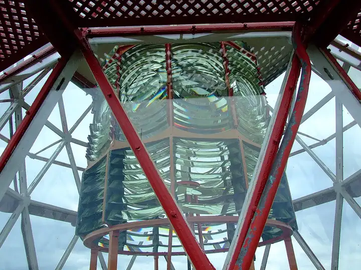
Listed as a UNESCO World Heritage site in 2014, the chalk cliff of Stevns Klint stretches for about 17 km south of Copenhagen. It holds the geological trace of the impact that ended the age of the dinosaurs, and the Trampestien coastal path follows it from end to end. From Køge, the road reaches Holtug, at the north end of the cliff, then Stevns lighthouse, the highest point of the cliff, and the old church of Højerup, perched on the edge of the drop, whose chancel fell into the sea in 1928. It then passes the Boesdal visitor centre and ends at the small harbour of Rødvig. Flat, easy little country roads; you have to pay to park at Højerup during the day, and the cliff edge has no fence and is moving back through erosion.
Download the GPXTrack and stops as a GPX file, for a sat nav or another app.
In MotoLert, this ride is one of the roadbooks: its route, stops and photos are in the app. Premium guides you along it; camera zones and reported hazards stay free. The app is coming soon to iPhone.
23 km (14 miles), 30 min, beginner
Photo: Kht83, CC BY-SA 4.0, resized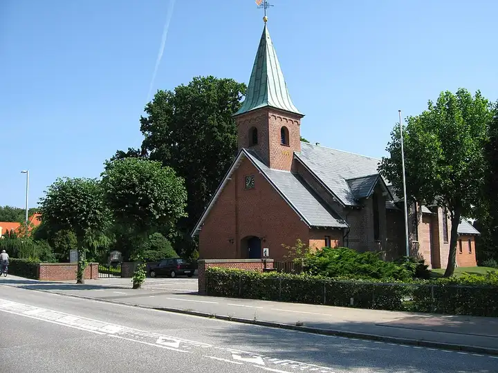
57 km (35 miles), 1 hr 15 min, beginner
Photo: Urbandweller, CC BY-SA 3.0, resized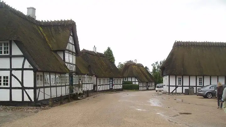
56 km (34 miles), 1 hr, beginner
Photo: HenrikKbh, CC BY-SA 3.0, resizedRoads change: passes close in winter, roadworks, rockfalls, local restrictions. Check the road before you set off. MotoLert does not replace road signs or the Highway Code.
Route planned by MotoLert with Valhalla on © OpenStreetMap contributors data (ODbL). Photos from Wikimedia Commons, with the author and licence under each image.