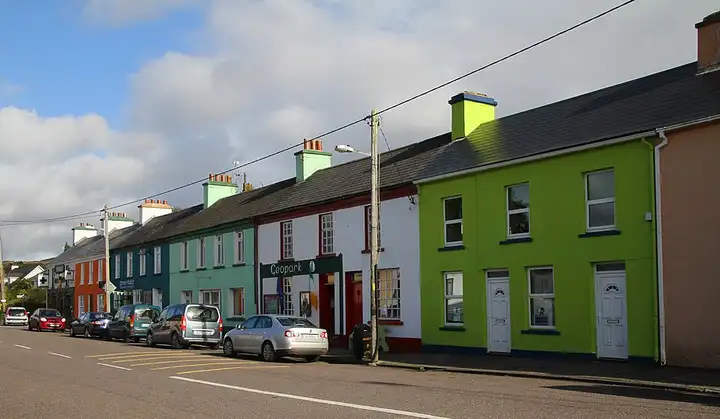
Ring of Kerry
171 km (106 miles), 2 hr 55 min, beginner
Photo: Gerd Eichmann, CC BY-SA 4.0, resizedMotorcycle ride in Munster
66 km (41 miles), 1 hr 20 min, intermediate
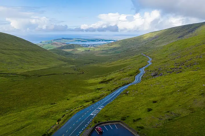
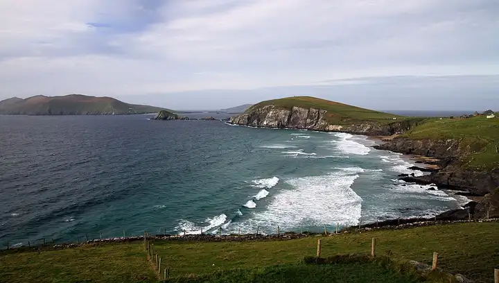
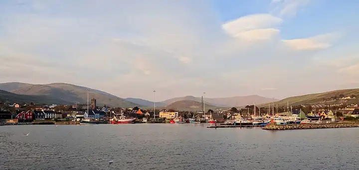
Starting from Dingle harbour, the Slea Head road follows the cliffs at the western tip of Ireland via Ventry and Dunquin, facing the Blasket Islands, then returns via Ballyferriter. The route then crosses the Conor Pass, one of the highest road passes in Ireland, narrow and dizzying, before dropping towards Castlegregory.
Download the GPXTrack and stops as a GPX file, for a sat nav or another app.
In MotoLert, this ride is one of the roadbooks: its route, stops and photos are in the app. Premium guides you along it; camera zones and reported hazards stay free. The app is coming soon to iPhone.
171 km (106 miles), 2 hr 55 min, beginner
Photo: Gerd Eichmann, CC BY-SA 4.0, resized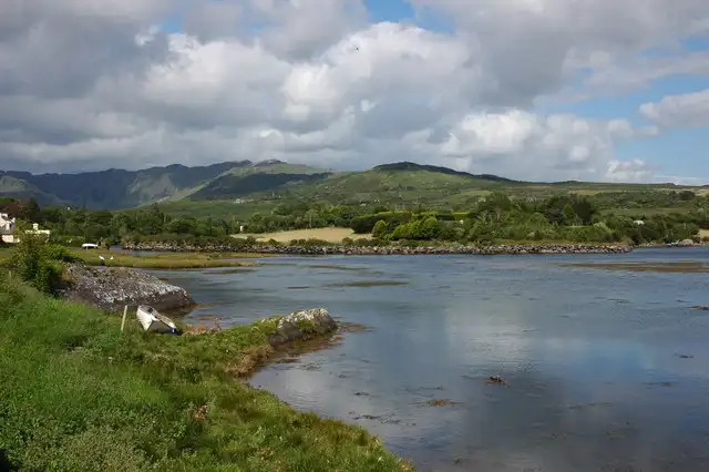
54 km (34 miles), 1 hr 5 min, intermediate
Photo: Philip Halling, CC BY-SA 2.0, resized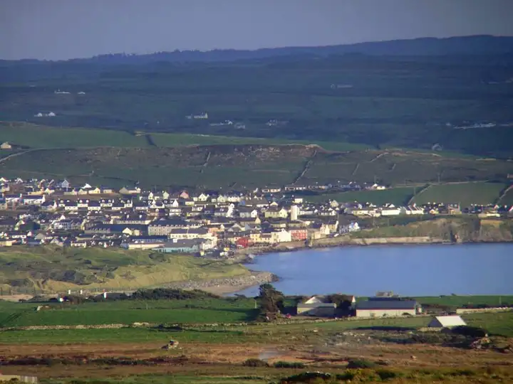
49 km (30 miles), 55 min, beginner
Photo: Bogman, CC BY-SA 2.5, resizedRoads change: passes close in winter, roadworks, rockfalls, local restrictions. Check the road before you set off. MotoLert does not replace road signs or the Highway Code.
Route planned by MotoLert with Valhalla on © OpenStreetMap contributors data (ODbL). Photos from Wikimedia Commons, with the author and licence under each image.