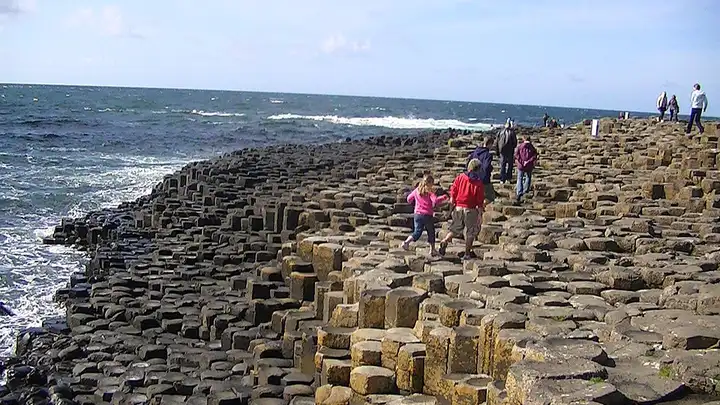
Giant’s Causeway coast (Northern Ireland)
20 miles (33 km), 40 min, beginner
Photo: Adam Bishop, CC BY-SA 3.0, resizedMotorcycle ride in Northern Ireland
48 miles (77 km), 1 hr 35 min, intermediate
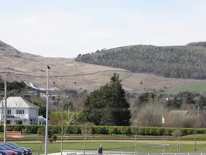
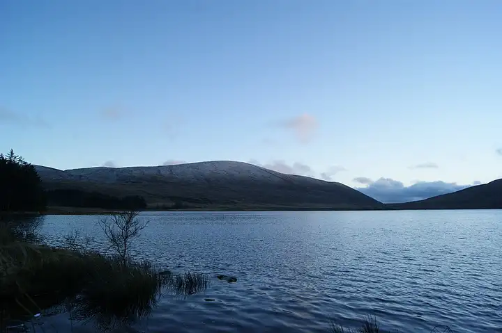
The Mourne Mountains, whose Slieve Donard (850 m) is the highest point in Northern Ireland, are County Down’s great walking area, with the granite Mourne Wall winding over the twelve highest peaks. From Newcastle, the loop passes Tollymore Forest and the start of the Trassey Track towards Hare’s Gap. It then climbs the Slievenaman Road, one of the highest public roads in the province, to Spelga Dam. It races down the Spelga bends to Hilltown and reaches Rostrevor. It then returns by the small roads of Attical and the Head Road, which passes the entrance to Silent Valley park and the start of Carrick Little, before coming back along the coast via Annalong. The two Spelga hairpins are steep and heavily cambered, the wind can be violent on the plateau, and sheep wander on the road.
Download the GPXTrack and stops as a GPX file, for a sat nav or another app.
In MotoLert, this ride is one of the roadbooks: its route, stops and photos are in the app. Premium guides you along it; camera zones and reported hazards stay free. The app is coming soon to iPhone.
20 miles (33 km), 40 min, beginner
Photo: Adam Bishop, CC BY-SA 3.0, resized
29 miles (47 km), 1 hr 10 min, intermediate
Photo: RICHARD OUTRAM, CC BY 2.0, resized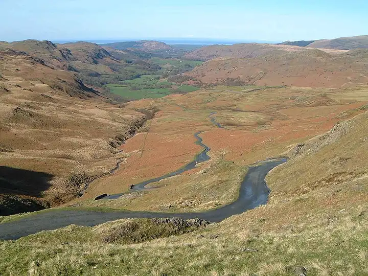
23 miles (37 km), 1 hr 5 min, advanced
Photo: Mick Knapton, CC BY-SA 3.0, resizedRoads change: passes close in winter, roadworks, rockfalls, local restrictions. Check the road before you set off. MotoLert does not replace road signs or the Highway Code.
Route planned by MotoLert with Valhalla on © OpenStreetMap contributors data (ODbL). Photos from Wikimedia Commons, with the author and licence under each image.