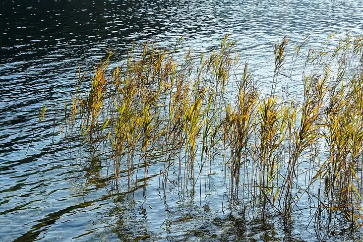
Ötscher gorges and the Zellerrain pass
53 km (33 miles), 1 hr, intermediate
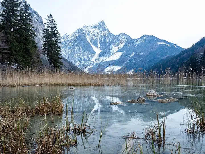
Photo: Uoaei1, CC BY-SA 4.0, resizedMotorcycle ride in Styria
54 km (33 miles), 1 hr, intermediate
The Gesäuse, Styria’s only national park, is the gorge where the Enns forces its way between limestone walls overlooked by the Hochtor, a major centre for Austrian hiking and climbing with some 500 km of trails. The B146 follows the river from Admont past the Gesäuse entrance and Gstatterboden, where the park pavilion faces the Hochtor cliffs, to Hieflau. The Iron Road (B115) then leads to the Leopoldsteiner See, a small mountain lake ringed by a path of about 4 km, then to Eisenerz and the Erzberg opencast mine, which you can admire from the Präbichl pass before dropping down to Vordernberg. Fast, winding roads much loved by riders: the B146 is narrow in the gorge and busy at weekends.
Download the GPXTrack and stops as a GPX file, for a sat nav or another app.
In MotoLert, this ride is one of the roadbooks: its route, stops and photos are in the app. Premium guides you along it; camera zones and reported hazards stay free. The app is coming soon to iPhone.
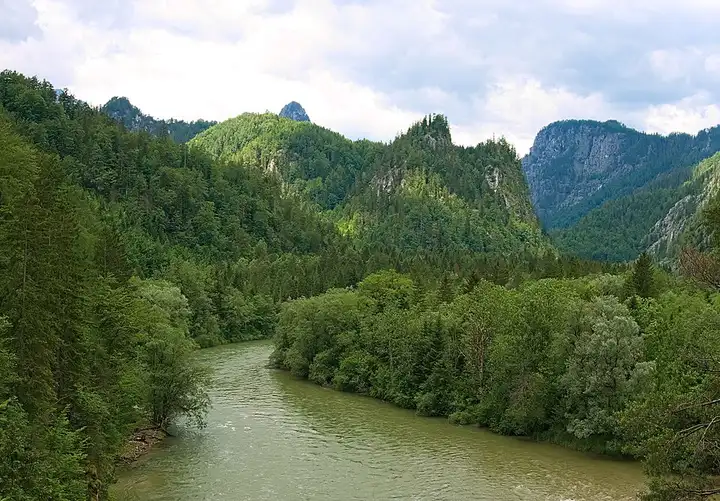
53 km (33 miles), 1 hr, intermediate
Photo: Uoaei1, CC BY-SA 4.0, resized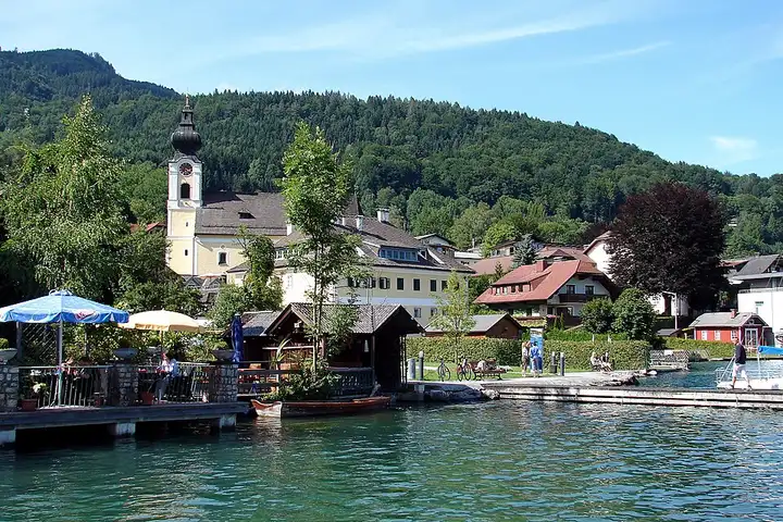
78 km (49 miles), 1 hr 35 min, beginner
Photo: H. Helmlechner, CC BY-SA 4.0, resized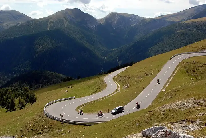
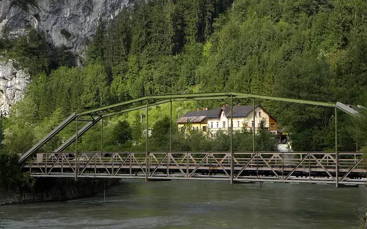
35 km (22 miles), 55 min, intermediate
Photo: Johann Jaritz, CC BY-SA 3.0 at, resizedRoads change: passes close in winter, roadworks, rockfalls, local restrictions. Check the road before you set off. MotoLert does not replace road signs or the Highway Code.
Route planned by MotoLert with Valhalla on © OpenStreetMap contributors data (ODbL). Photos from Wikimedia Commons, with the author and licence under each image.