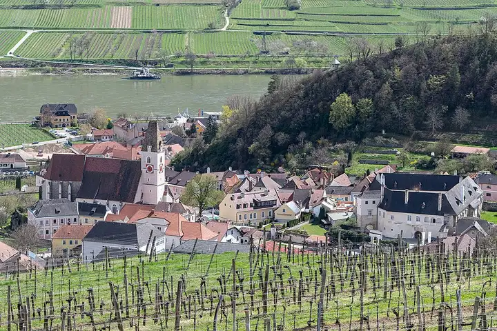
Wachau, from Melk to Krems
38 km (24 miles), 50 min, beginner
Photo: Isiwal, CC BY-SA 4.0, resizedMotorcycle ride in Lower Austria
53 km (33 miles), 1 hr, intermediate
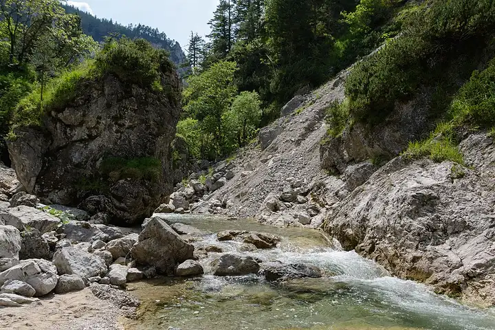
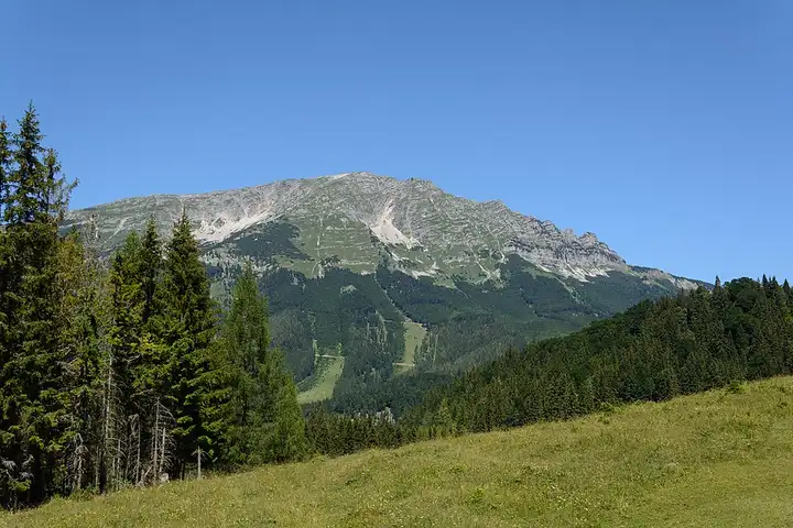
The Ötschergräben, deep gorges carved at the foot of the Ötscher and nicknamed the “Grand Canyon of Lower Austria”, are one of the country’s most famous hikes, in the heart of the Ötscher-Tormäuer nature park. From Annaberg, the B20 passes Wienerbruck, the park entrance where you park to walk down to the Lassing waterfall and the gorges, then reaches Mitterbach and the Erlaufsee, near Mariazell. The Zellerrain pass then leads to Lackenhof, at the foot of the Ötscher, and to Lunz am See and its lake. Flowing mountain roads, but very busy with riders at weekends; the Zellerrain can close in winter because of avalanches, and several car parks in the park charge a fee.
Download the GPXTrack and stops as a GPX file, for a sat nav or another app.
In MotoLert, this ride is one of the roadbooks: its route, stops and photos are in the app. Premium guides you along it; camera zones and reported hazards stay free. The app is coming soon to iPhone.
38 km (24 miles), 50 min, beginner
Photo: Isiwal, CC BY-SA 4.0, resized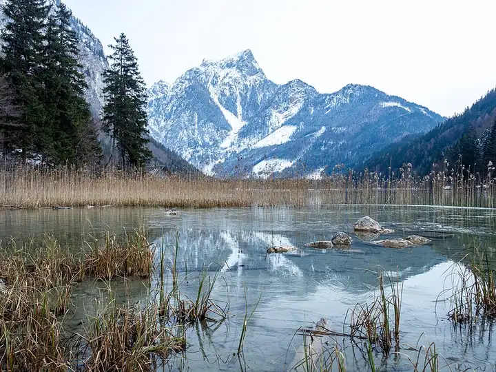
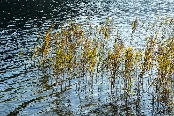
54 km (33 miles), 1 hr, intermediate
Photo: Dimitry Anikin, CC0, resized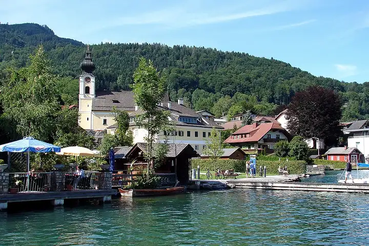
78 km (49 miles), 1 hr 35 min, beginner
Photo: H. Helmlechner, CC BY-SA 4.0, resizedRoads change: passes close in winter, roadworks, rockfalls, local restrictions. Check the road before you set off. MotoLert does not replace road signs or the Highway Code.
Route planned by MotoLert with Valhalla on © OpenStreetMap contributors data (ODbL). Photos from Wikimedia Commons, with the author and licence under each image.