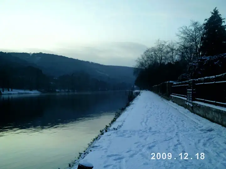
Meuse valley, from Namur to Hastière
40 km (25 miles), 55 min, beginner
Photo: Paduwez, CC BY-SA 4.0, resizedMotorcycle ride in Namur province
57 km (35 miles), 1 hr 20 min, beginner
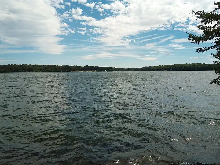
In the Entre-Sambre-et-Meuse, the Eau d’Heure lakes are a group of reservoirs ringed by paths, including a loop of about 17 km around the Plate Taille lake along the GRP 125 trail. From Walcourt, the road reaches the Plate Taille dam via the Route des Barrages, crosses Froidchapelle, then drops down towards Couvin. At Nismes, a short waymarked path leads to the Fondry des Chiens, a natural chasm about twenty metres deep, protected as a nature reserve in the Viroin-Hermeton nature park, before the road follows the Viroin through Vierves-sur-Viroin to Treignes. Easy roads, but very busy around the lakes at weekends in summer; take care going through villages.
Download the GPXTrack and stops as a GPX file, for a sat nav or another app.
In MotoLert, this ride is one of the roadbooks: its route, stops and photos are in the app. Premium guides you along it; camera zones and reported hazards stay free. The app is coming soon to iPhone.
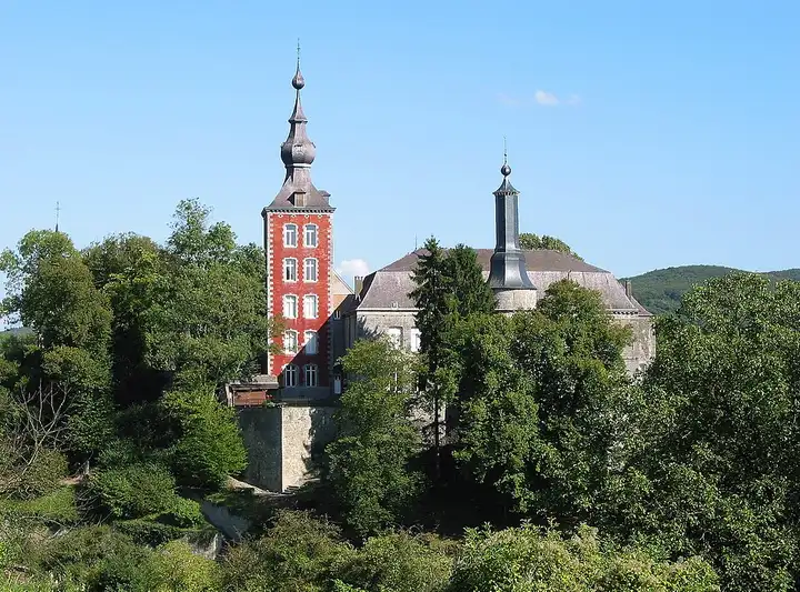
40 km (25 miles), 55 min, beginner
Photo: Paduwez, CC BY-SA 4.0, resized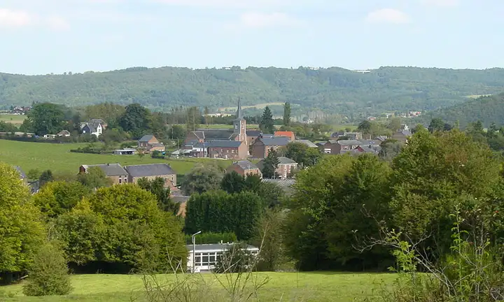
43 km (27 miles), 1 hr, beginner
Photo: David Edgar, CC BY 2.5, resized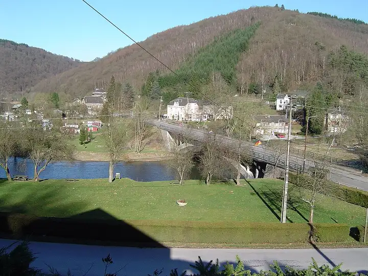
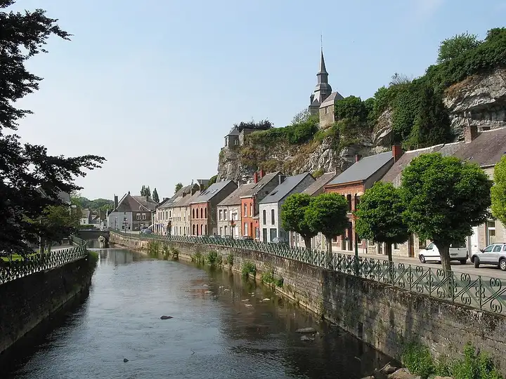
33 km (21 miles), 45 min, intermediate
Photo: sankasssss, CC BY 3.0, resizedRoads change: passes close in winter, roadworks, rockfalls, local restrictions. Check the road before you set off. MotoLert does not replace road signs or the Highway Code.
Route planned by MotoLert with Valhalla on © OpenStreetMap contributors data (ODbL). Photos from Wikimedia Commons, with the author and licence under each image.