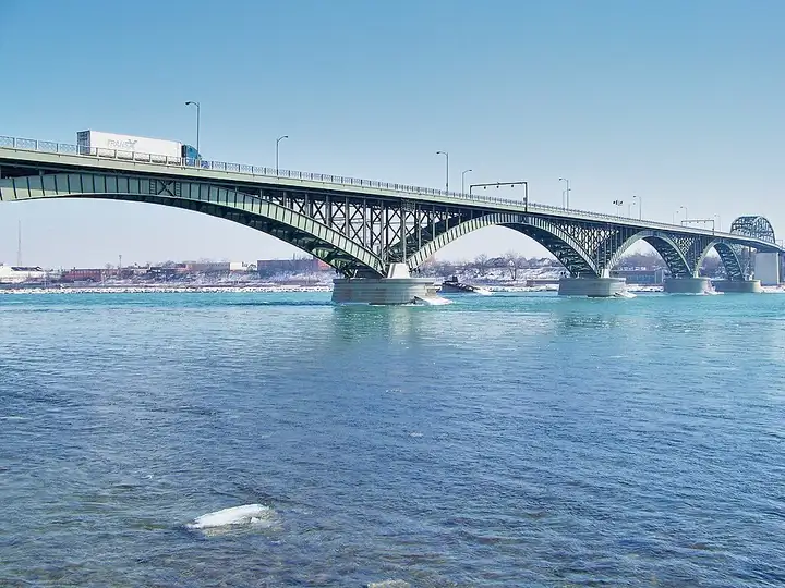
Niagara Parkway
52 km (32 miles), 1 hr 5 min, beginner
Photo: Óðinn, CC BY-SA 3.0, resizedMotorcycle ride in Ontario
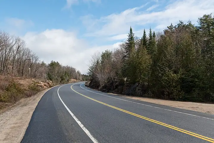
105 km (65 miles), 1 hr 30 min, beginner
Between Huntsville and Whitney, Highway 60 crosses the south of Algonquin Provincial Park for 56 km, a land of lakes and forests. More than a dozen marked trails start right from the road, found by their kilometre markers: Hardwood Lookout, Track and Tower, Lookout Trail or the Spruce Bog boardwalk near the Visitor Centre. The road is easy, maintained all year round, made up of gentle curves and stretches along the lakes, and suits all motorcycles. To stop, even just at a trail or a picnic area, you need a $21 daily permit per vehicle, bought online up to five days in advance, as it is not sold at the park gates.
Download the GPXTrack and stops as a GPX file, for a sat nav or another app.
In MotoLert, this ride is one of the roadbooks: its route, stops and photos are in the app. Premium guides you along it; camera zones and reported hazards stay free. The app is coming soon to iPhone.
52 km (32 miles), 1 hr 5 min, beginner
Photo: Óðinn, CC BY-SA 3.0, resized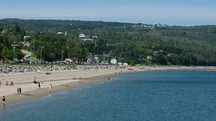
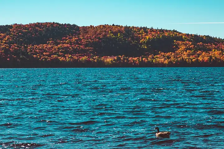
48 km (30 miles), 55 min, intermediate
Photo: benoitronique, CC BY-SA 3.0, resized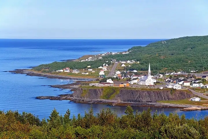
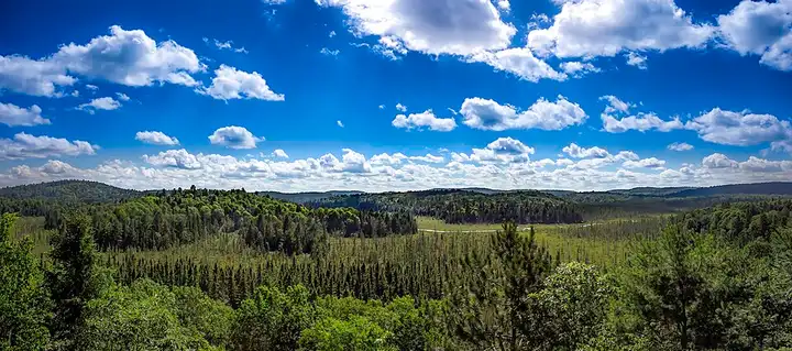
178 km (110 miles), 2 hr 45 min, intermediate
Photo: Dennis G. Jarvis, CC BY-SA 2.0, resizedRoads change: passes close in winter, roadworks, rockfalls, local restrictions. Check the road before you set off. MotoLert does not replace road signs or the Highway Code.
Route planned by MotoLert with Valhalla on © OpenStreetMap contributors data (ODbL). Photos from Wikimedia Commons, with the author and licence under each image.