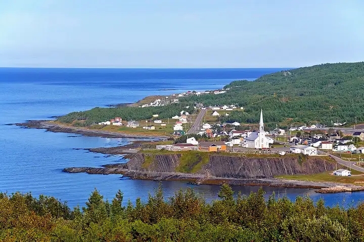
Haute-Gaspésie, from Sainte-Anne-des-Monts to Rivière-au-Renard
178 km (110 miles), 2 hr 45 min, intermediate
Photo: Dennis G. Jarvis, CC BY-SA 2.0, resizedMotorcycle ride in Quebec
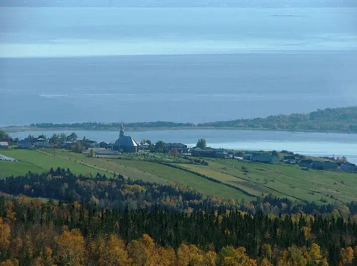
48 km (30 miles), 55 min, intermediate
Route 362 links Baie-Saint-Paul to La Malbaie along the heights above the St. Lawrence. It passes through Les Éboulements, perched above the river, drops down towards Saint-Irénée and then Pointe-au-Pic, with views of the river and Isle-aux-Coudres. Steep climbs and descents: go easy on your brakes.
Download the GPXTrack and stops as a GPX file, for a sat nav or another app.
In MotoLert, this ride is one of the roadbooks: its route, stops and photos are in the app. Premium guides you along it; camera zones and reported hazards stay free. The app is coming soon to iPhone.
178 km (110 miles), 2 hr 45 min, intermediate
Photo: Dennis G. Jarvis, CC BY-SA 2.0, resized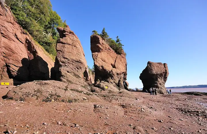
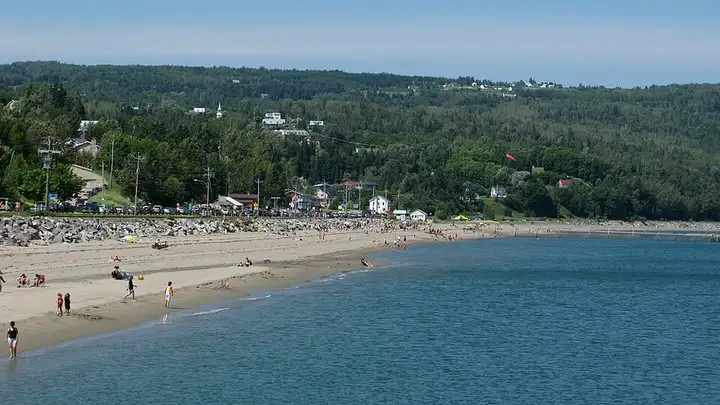
141 km (88 miles), 2 hr 20 min, beginner
Photo: Wladyslaw, CC BY-SA 3.0, resized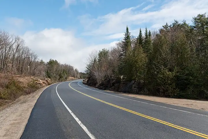
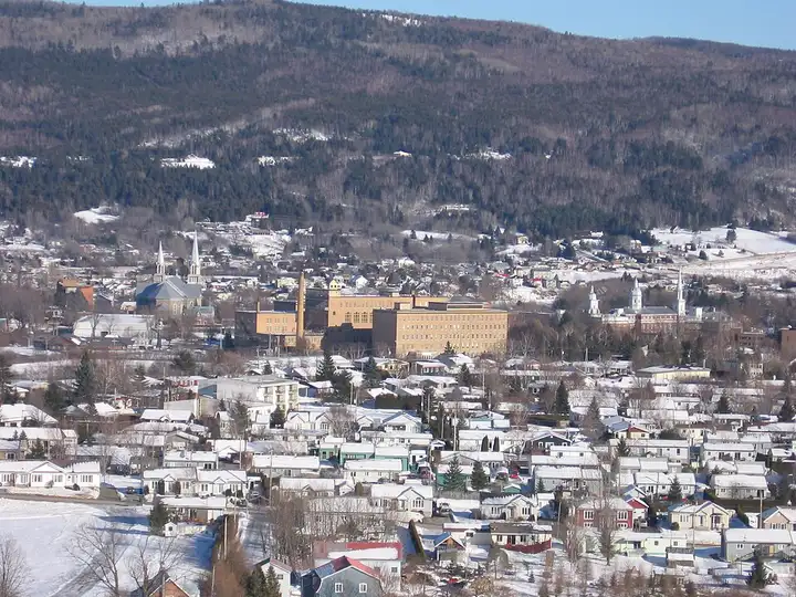
105 km (65 miles), 1 hr 30 min, beginner
Photo: DXR, CC BY-SA 4.0, resizedRoads change: passes close in winter, roadworks, rockfalls, local restrictions. Check the road before you set off. MotoLert does not replace road signs or the Highway Code.
Route planned by MotoLert with Valhalla on © OpenStreetMap contributors data (ODbL). Photos from Wikimedia Commons, with the author and licence under each image.