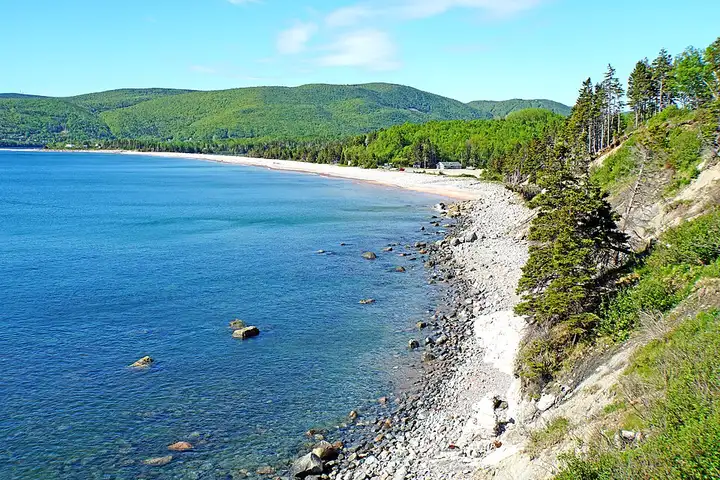
Cabot Trail (Cape Breton Island)
99 km (61 miles), 1 hr 35 min, intermediate
Photo: Dennis G. Jarvis, CC BY-SA 2.0, resizedMotorcycle ride in New Brunswick
141 km (88 miles), 2 hr 20 min, beginner
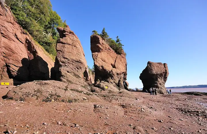
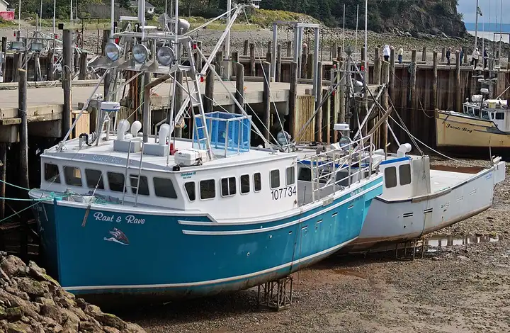
Route 114 links Sussex to Riverview through Fundy National Park, then runs along the Bay of Fundy, known for having some of the highest tides in the world. The park offers short hikes to waterfalls, such as Dickson Falls near Alma, while at Hopewell Rocks you walk on the floor of the bay at low tide, at the foot of the famous tree-topped “flowerpots”. The route is hilly and wooded in the park, then more open along the Shepody marshes and the coastal villages. The national park charges an entry fee, the Hopewell site has an admission charge (ticket valid for two days in a row) and is open from mid-May to late October, and you must check the tide times because the water comes back in very fast.
Download the GPXTrack and stops as a GPX file, for a sat nav or another app.

In MotoLert, this ride is one of the roadbooks: its route, stops and photos are in the app. Premium guides you along it; camera zones and reported hazards stay free. The app is coming soon to iPhone.
99 km (61 miles), 1 hr 35 min, intermediate
Photo: Dennis G. Jarvis, CC BY-SA 2.0, resized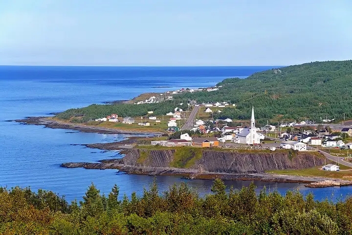
178 km (110 miles), 2 hr 45 min, intermediate
Photo: Dennis G. Jarvis, CC BY-SA 2.0, resized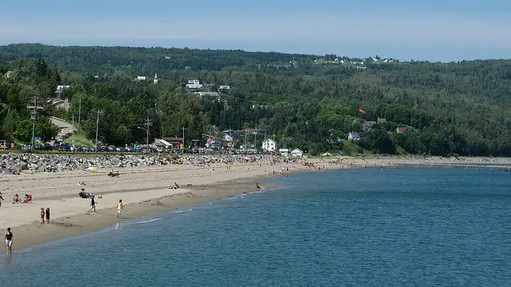
48 km (30 miles), 55 min, intermediate
Photo: benoitronique, CC BY-SA 3.0, resizedRoads change: passes close in winter, roadworks, rockfalls, local restrictions. Check the road before you set off. MotoLert does not replace road signs or the Highway Code.
Route planned by MotoLert with Valhalla on © OpenStreetMap contributors data (ODbL). Photos from Wikimedia Commons, with the author and licence under each image.