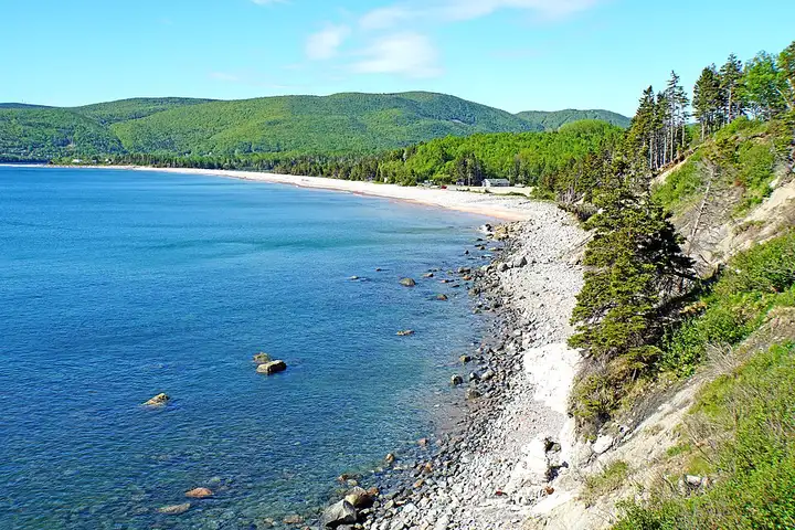
Cabot Trail (Cape Breton Island)
99 km (61 miles), 1 hr 35 min, intermediate
Photo: Dennis G. Jarvis, CC BY-SA 2.0, resizedMotorcycle ride in Newfoundland and Labrador
116 km (72 miles), 1 hr 25 min, beginner
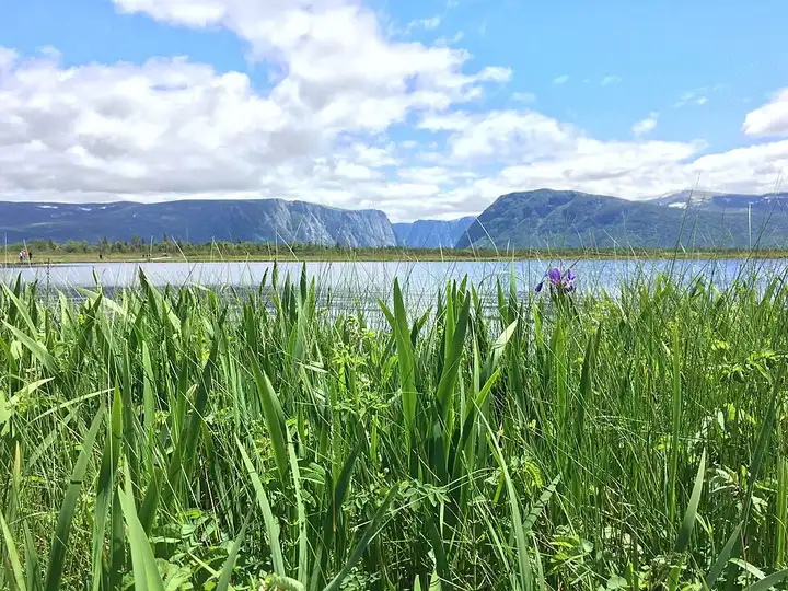
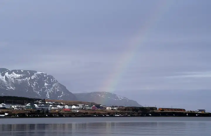
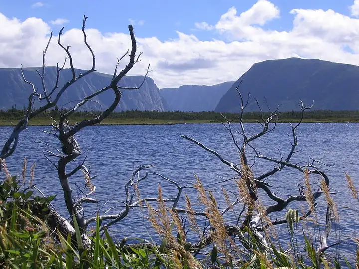
Route 430, known as the Viking Trail, leaves Deer Lake and crosses Gros Morne National Park, a UNESCO World Heritage Site on the west coast of Newfoundland. Hikers come for the Gros Morne Mountain trail, which starts from the road about 7 km south of Rocky Harbour, and for Western Brook Pond, a former fjord cut off from the sea, reached by a path of about 3 km from a roadside car park. The road is paved all the way and has no technical difficulty, running through forests, peat bogs and coastline north of Rocky Harbour. A Parks Canada entry fee applies, the boat tour on the pond (mid-May to mid-October) is best booked ahead, and moose on the road at dawn and dusk are the main danger.
Download the GPXTrack and stops as a GPX file, for a sat nav or another app.
In MotoLert, this ride is one of the roadbooks: its route, stops and photos are in the app. Premium guides you along it; camera zones and reported hazards stay free. The app is coming soon to iPhone.
99 km (61 miles), 1 hr 35 min, intermediate
Photo: Dennis G. Jarvis, CC BY-SA 2.0, resized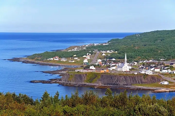
178 km (110 miles), 2 hr 45 min, intermediate
Photo: Dennis G. Jarvis, CC BY-SA 2.0, resized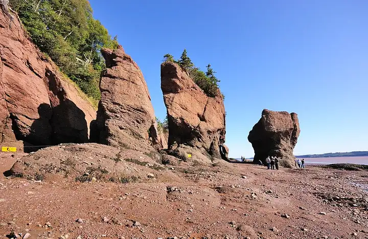
141 km (88 miles), 2 hr 20 min, beginner
Photo: Wladyslaw, CC BY-SA 3.0, resizedRoads change: passes close in winter, roadworks, rockfalls, local restrictions. Check the road before you set off. MotoLert does not replace road signs or the Highway Code.
Route planned by MotoLert with Valhalla on © OpenStreetMap contributors data (ODbL). Photos from Wikimedia Commons, with the author and licence under each image.