Giant Mountains (Krkonoše)
48 km (30 miles), 1 hr 5 min, intermediate
Photo: VitVit, CC BY-SA 4.0, resizedMotorcycle ride in the Hradec Králové region
82 km (51 miles), 2 hr 15 min, beginner
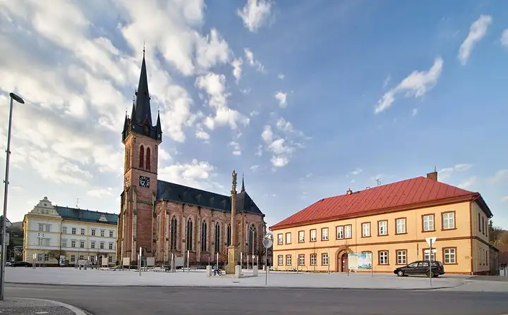
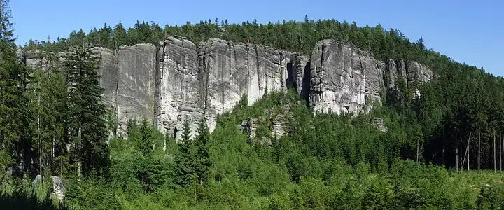
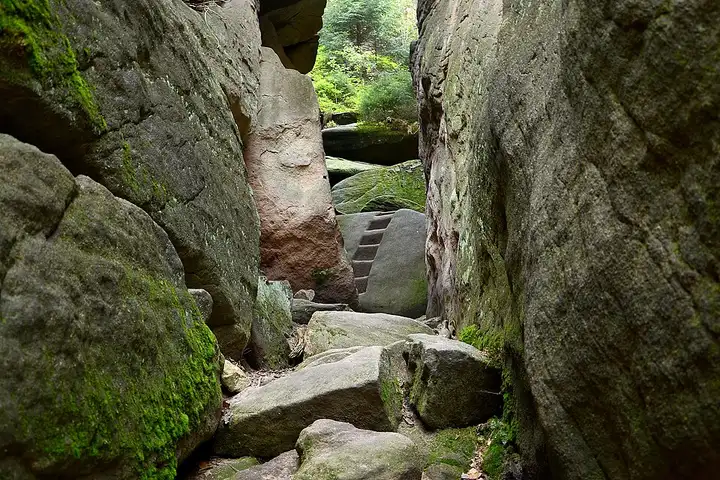
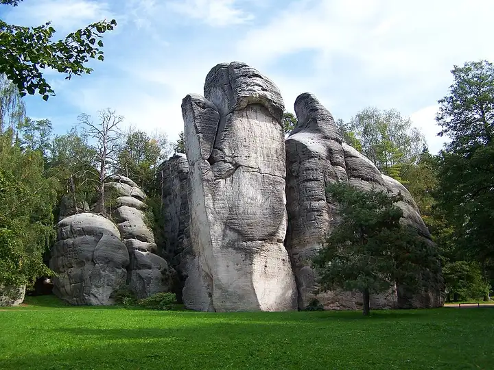
The rock towns of Adršpach and Teplice nad Metují form a maze of sandstone towers criss-crossed by paths, one of the most visited hiking sites in eastern Bohemia, continued to the south by the rocky ridge of the Broumov Walls. From Trutnov, the road reaches the car parks at Adršpach and then Teplice, before crossing the Broumov basin and its monastery town. Via Police nad Metují, a small road climbs to the Hvězda car park, from where a loop of about 4 km runs along the cliffs of the Broumov Walls. In season, entry to the Adršpach rocks must be booked online for a time slot, parking included; without a booking, you may be turned away.
Download the GPXTrack and stops as a GPX file, for a sat nav or another app.
In MotoLert, this ride is one of the roadbooks: its route, stops and photos are in the app. Premium guides you along it; camera zones and reported hazards stay free. The app is coming soon to iPhone.
48 km (30 miles), 1 hr 5 min, intermediate
Photo: VitVit, CC BY-SA 4.0, resized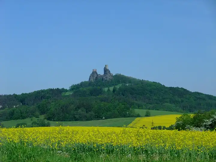
32 km (20 miles), 50 min, beginner
Photo: Me116, CC BY-SA 4.0, resized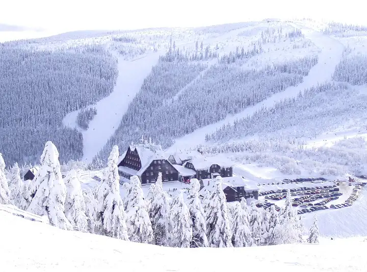
49 km (30 miles), 1 hr, intermediate
Photo: Pastorius, CC BY-SA 3.0, resizedRoads change: passes close in winter, roadworks, rockfalls, local restrictions. Check the road before you set off. MotoLert does not replace road signs or the Highway Code.
Route planned by MotoLert with Valhalla on © OpenStreetMap contributors data (ODbL). Photos from Wikimedia Commons, with the author and licence under each image.