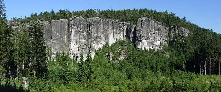
Adršpach-Teplice Rocks and the Broumov Walls
82 km (51 miles), 2 hr 15 min, beginner
Photo: Pudelek, CC BY-SA 3.0, resizedMotorcycle ride in the Hradec Králové region
48 km (30 miles), 1 hr 5 min, intermediate
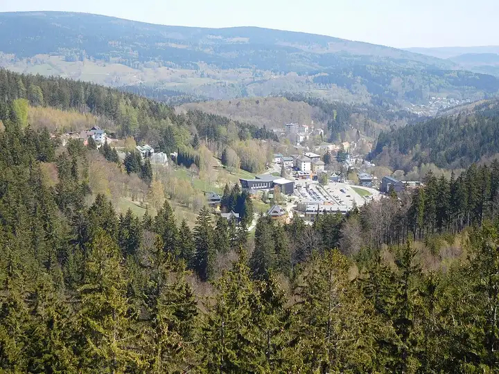
A ride through the foothills of the highest Czech mountains. From Pec pod Sněžkou, at the foot of Sněžka, the road drops down to the spa town of Janské Lázně, passes Černý Důl and reaches Vrchlabí before climbing the upper Elbe valley, near its source, to Špindlerův Mlýn. Bends through the forest and mountain villages.
Download the GPXTrack and stops as a GPX file, for a sat nav or another app.
In MotoLert, this ride is one of the roadbooks: its route, stops and photos are in the app. Premium guides you along it; camera zones and reported hazards stay free. The app is coming soon to iPhone.
82 km (51 miles), 2 hr 15 min, beginner
Photo: Pudelek, CC BY-SA 3.0, resized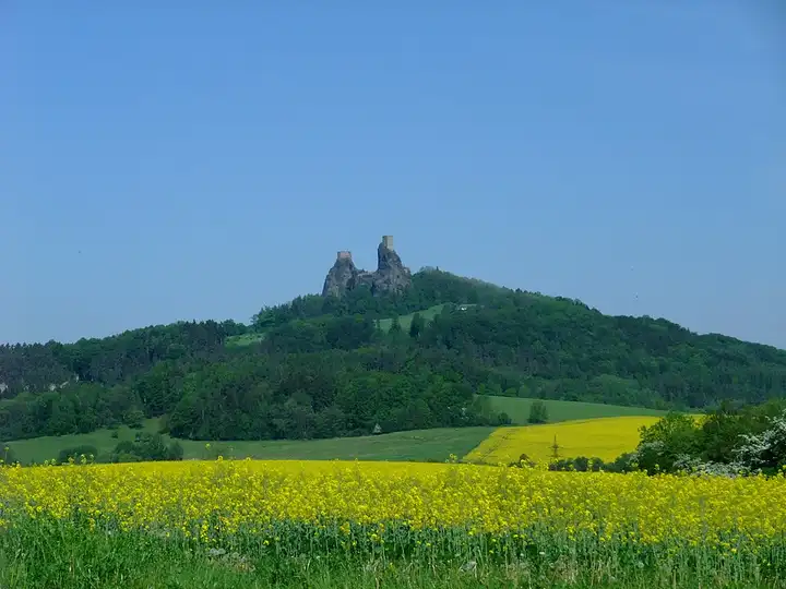
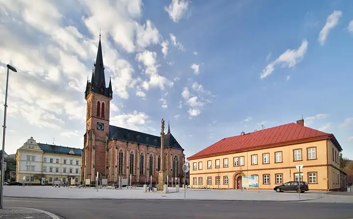
32 km (20 miles), 50 min, beginner
Photo: Me116, CC BY-SA 4.0, resized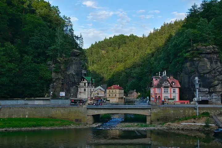
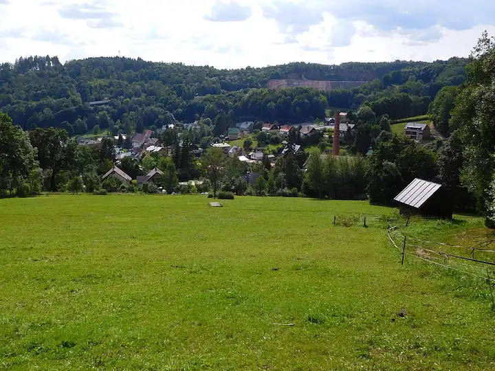
61 km (38 miles), 1 hr 35 min, intermediate
Photo: Jiří Komárek, CC BY-SA 4.0, resizedRoads change: passes close in winter, roadworks, rockfalls, local restrictions. Check the road before you set off. MotoLert does not replace road signs or the Highway Code.
Route planned by MotoLert with Valhalla on © OpenStreetMap contributors data (ODbL). Photos from Wikimedia Commons, with the author and licence under each image.