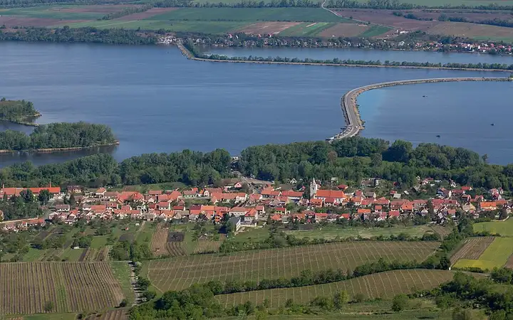
Pálava and the Lednice-Valtice estate
46 km (28 miles), 1 hr 15 min, beginner
Photo: Tadeáš Bednarz, CC BY-SA 4.0, resizedMotorcycle ride in South Moravia
53 km (33 miles), 1 hr 20 min, beginner
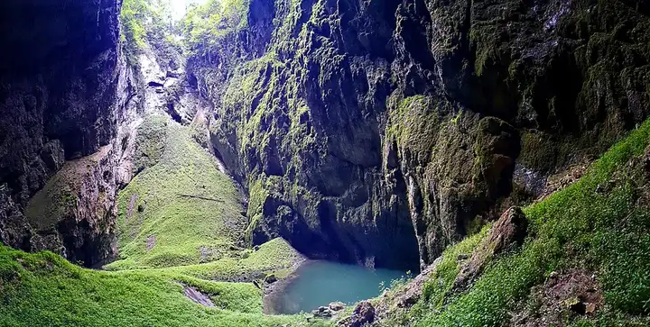
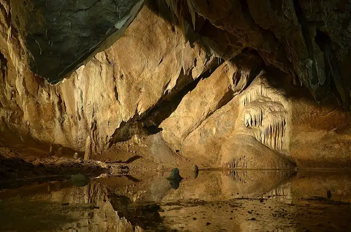
North of Brno, the Moravian Karst is a limestone plateau full of caves, dry valleys and chasms, including the Macocha Abyss, which you can discover on waymarked paths and on a boat trip along the underground Punkva river. From Blansko, the road leads to the Skalní mlýn car park, from where you reach the entrance to the Punkva Caves on foot (about 2 km) or by small road train. You then climb to the paid car park at the upper Macocha viewpoint, then cross Ostrov u Macochy, Sloup and its caves, Jedovnice and Křtiny, a pilgrimage village with a baroque church, before reaching Brno. Narrow forest roads, very busy in summer; cave tours must be booked in advance.
Download the GPXTrack and stops as a GPX file, for a sat nav or another app.
In MotoLert, this ride is one of the roadbooks: its route, stops and photos are in the app. Premium guides you along it; camera zones and reported hazards stay free. The app is coming soon to iPhone.
46 km (28 miles), 1 hr 15 min, beginner
Photo: Tadeáš Bednarz, CC BY-SA 4.0, resized
59 km (37 miles), 1 hr 35 min, beginner
Photo: Pudelek (Marcin Szala), CC BY-SA 3.0, resized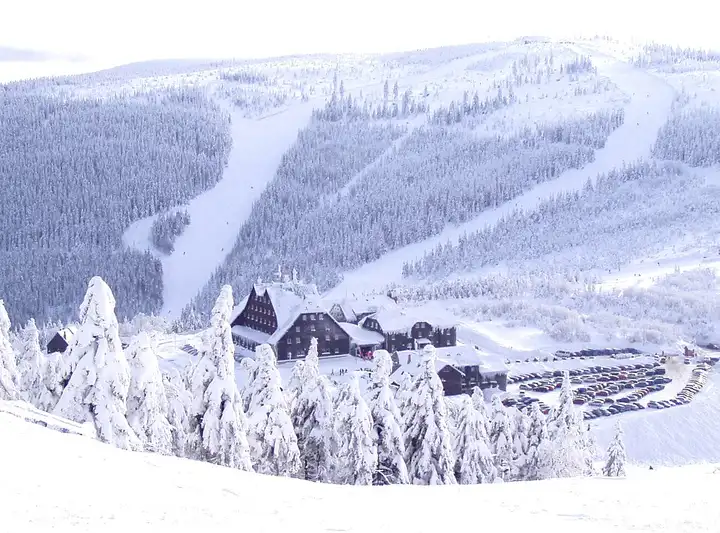
49 km (30 miles), 1 hr, intermediate
Photo: Pastorius, CC BY-SA 3.0, resizedRoads change: passes close in winter, roadworks, rockfalls, local restrictions. Check the road before you set off. MotoLert does not replace road signs or the Highway Code.
Route planned by MotoLert with Valhalla on © OpenStreetMap contributors data (ODbL). Photos from Wikimedia Commons, with the author and licence under each image.