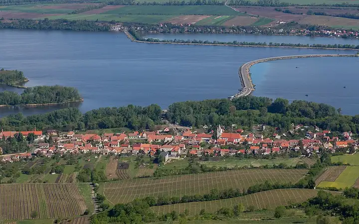
Pálava and the Lednice-Valtice estate
46 km (28 miles), 1 hr 15 min, beginner
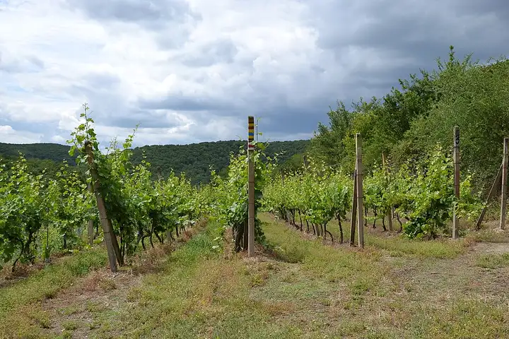
Photo: Tadeáš Bednarz, CC BY-SA 4.0, resizedMotorcycle ride in South Moravia
59 km (37 miles), 1 hr 35 min, beginner
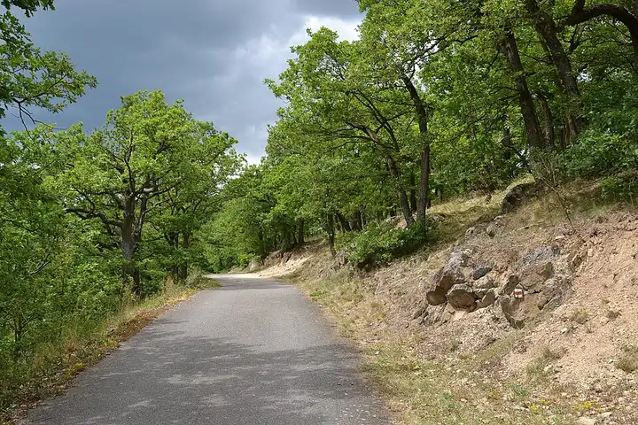
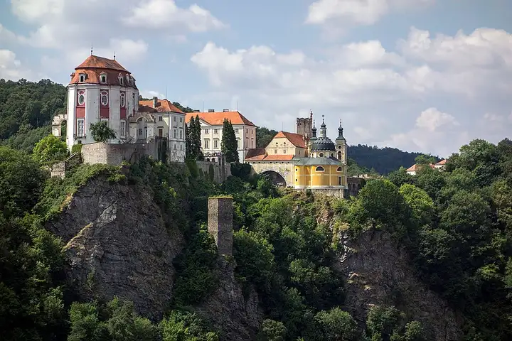
The smallest national park in Czechia, Podyjí protects the wooded canyon of the Dyje (Thaya) between Vranov and Znojmo, continued on the Austrian side by the Thayatal park, and its 80 km or so of trails lead to viewpoints over deeply cut meanders. From Znojmo, an out-and-back leads to Hnanice, from where a waymarked path reaches the Nine Mills viewpoint above the Šobes vineyard. The road then runs via Lukov towards Čížov, where a paid car park gives access to a preserved section of the Iron Curtain and the viewpoint over the Austrian town of Hardegg, then drops down to Vranov nad Dyjí castle and the Vranov dam before ending at Bítov. Small, narrow country roads, with no difficulty but shared with many walkers.
Download the GPXTrack and stops as a GPX file, for a sat nav or another app.
In MotoLert, this ride is one of the roadbooks: its route, stops and photos are in the app. Premium guides you along it; camera zones and reported hazards stay free. The app is coming soon to iPhone.
46 km (28 miles), 1 hr 15 min, beginner
Photo: Tadeáš Bednarz, CC BY-SA 4.0, resized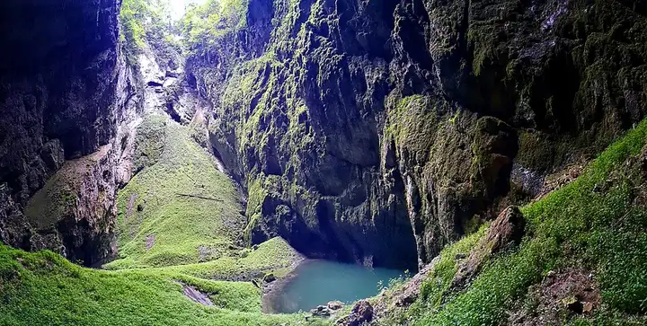
53 km (33 miles), 1 hr 20 min, beginner
Photo: 7oanna, CC BY-SA 4.0, resized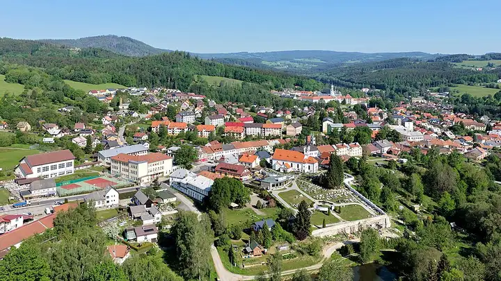
68 km (43 miles), 1 hr 35 min, beginner
Photo: C.Stadler/Bwag, CC BY-SA 4.0, resizedRoads change: passes close in winter, roadworks, rockfalls, local restrictions. Check the road before you set off. MotoLert does not replace road signs or the Highway Code.
Route planned by MotoLert with Valhalla on © OpenStreetMap contributors data (ODbL). Photos from Wikimedia Commons, with the author and licence under each image.