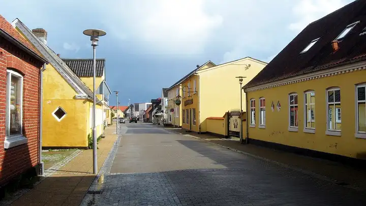
Skagen and the Råbjerg Mile dune
51 km (31 miles), 55 min, beginner
Photo: Tomasz Sienicki, CC BY 3.0, resizedMotorcycle ride in North Jutland
111 km (69 miles), 2 hr 5 min, beginner
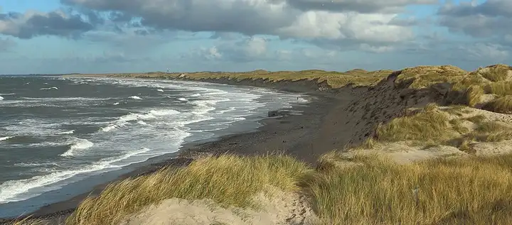
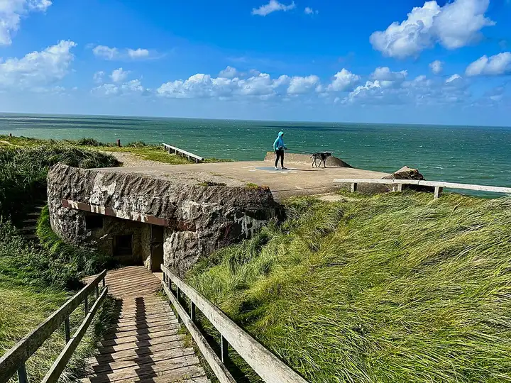
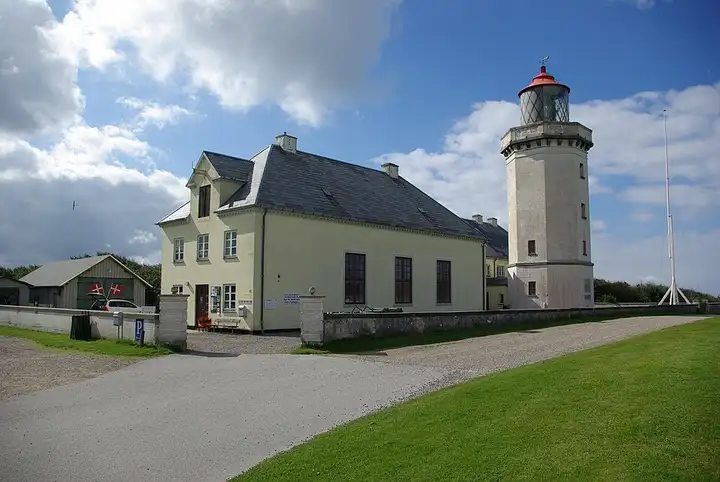
Denmark’s first national park, opened in 2008, Thy protects a wide strip of dunes, heathland and lakes along the North Sea. It is criss-crossed by paths, including the long Vestkyststien, which follows the coast. Coastal road 181 runs north from Agger to Stenbjerg, whose old landing station houses a park information point, then to Nørre Vorupør, where fishing boats are pulled up onto the sand, and Klitmøller, a major surfing spot. After Hanstholm lighthouse, you follow Vigsø bay to Bulbjerg, a limestone cliff about 47 m high and Denmark’s only bird cliff, before finishing at Fjerritslev. Easy, quiet roads but exposed to the west wind; the roads down to the beaches are dead ends.
Download the GPXTrack and stops as a GPX file, for a sat nav or another app.
In MotoLert, this ride is one of the roadbooks: its route, stops and photos are in the app. Premium guides you along it; camera zones and reported hazards stay free. The app is coming soon to iPhone.
51 km (31 miles), 55 min, beginner
Photo: Tomasz Sienicki, CC BY 3.0, resized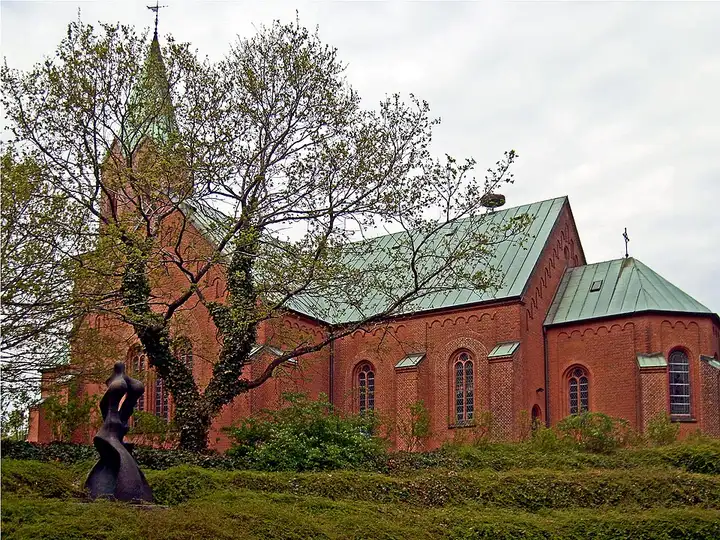
27 km (17 miles), 35 min, beginner
Photo: Bococo, CC BY-SA 3.0, resized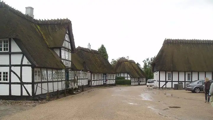
56 km (34 miles), 1 hr, beginner
Photo: HenrikKbh, CC BY-SA 3.0, resizedRoads change: passes close in winter, roadworks, rockfalls, local restrictions. Check the road before you set off. MotoLert does not replace road signs or the Highway Code.
Route planned by MotoLert with Valhalla on © OpenStreetMap contributors data (ODbL). Photos from Wikimedia Commons, with the author and licence under each image.