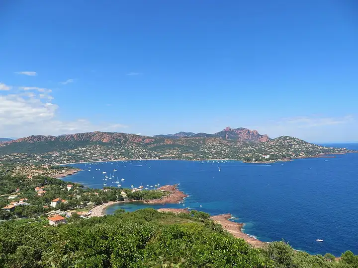
Corniche d’Or in the Estérel
36 km (23 miles), 50 min, beginner
Photo: Frédéric Ducarme, CC BY-SA 3.0, resizedMotorcycle ride in Corsica
79 km (49 miles), 1 hr 50 min, intermediate
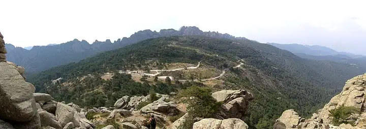
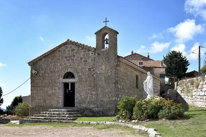
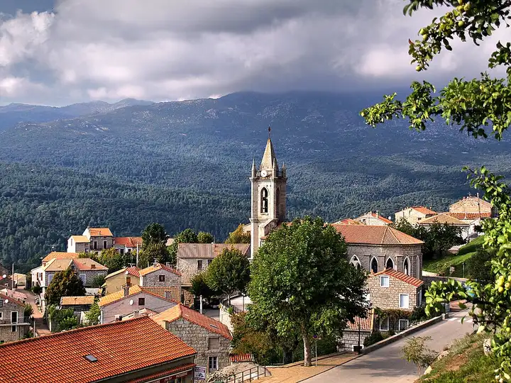
From Porto-Vecchio to Solenzara, this crossing of the Alta Rocca first climbs into the Ospédale forest and runs along its reservoir. A few kilometres further on, a pay car park is the start of the path to the Piscia di Gallu waterfall, which you see from above. After Zonza, the D268 reaches the Col de Bavella, at the foot of the Aiguilles de Bavella, the start of many hikes. The road then drops in tight hairpins through the mountains to the east coast and Solenzara. Watch out for animals roaming free on the road (pigs, cows, goats), pay car parks at the pass that fill up quickly in summer, and possible closure due to snow in winter.
Download the GPXTrack and stops as a GPX file, for a sat nav or another app.
In MotoLert, this ride is one of the roadbooks: its route, stops and photos are in the app. Premium guides you along it; camera zones and reported hazards stay free. The app is coming soon to iPhone.
36 km (23 miles), 50 min, beginner
Photo: Frédéric Ducarme, CC BY-SA 3.0, resized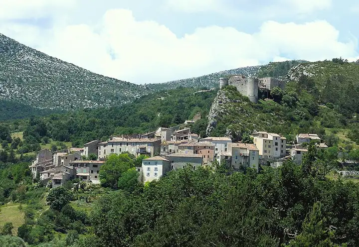
92 km (57 miles), 2 hr 15 min, intermediate
Photo: MOSSOT, CC BY-SA 3.0, resized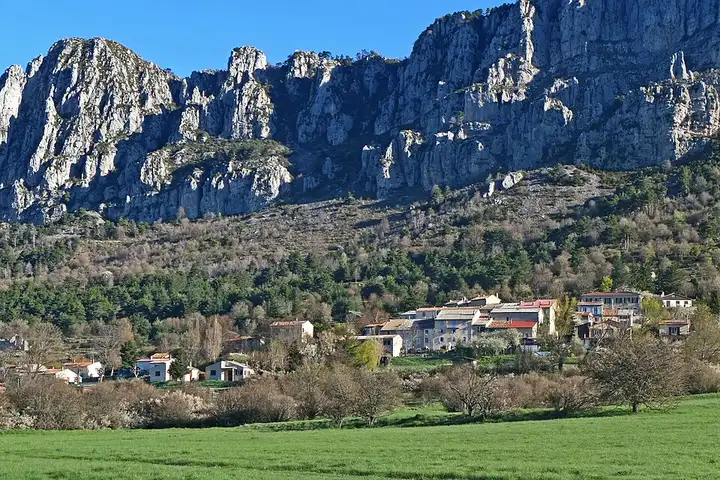
118 km (73 miles), 2 hr 30 min, intermediate
Photo: Jpchevreau, CC BY-SA 3.0, resizedRoads change: passes close in winter, roadworks, rockfalls, local restrictions. Check the road before you set off. MotoLert does not replace road signs or the Highway Code.
Route planned by MotoLert with Valhalla on © OpenStreetMap contributors data (ODbL). Photos from Wikimedia Commons, with the author and licence under each image.