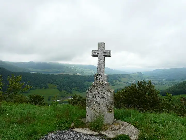
Pas de Peyrol and the Cantal mountains
44 km (27 miles), 1 hr, intermediate
Photo: Père Igor, CC BY-SA 4.0, resizedMotorcycle ride in Auvergne-Rhône-Alpes
60 km (37 miles), 1 hr 40 min, intermediate
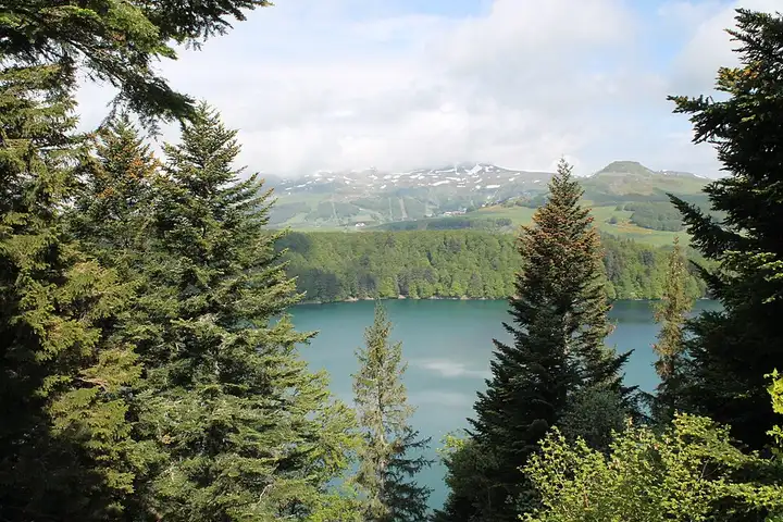
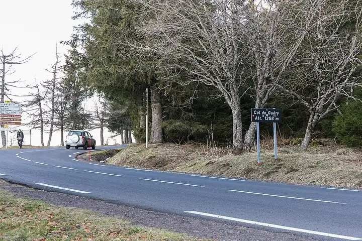
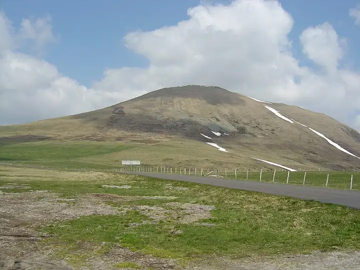
This route crosses the volcanic Sancy massif, one of the great hiking areas of the Auvergne, linking its passes and lakes. From Orcival, the road climbs to the Col de Guéry, above the lake of the same name, then drops down to the resort of Le Mont-Dore, at the foot of the Puy de Sancy. It then climbs on the D36 to the Col de la Croix-Saint-Robert, a high road that may be closed in winter. The descent reaches Lac Chambon, then Besse and Lac Pavin, a maar 92 m deep that you can walk round in about an hour on an easy path (no swimming). The passes are popular with cyclists and the lakesides are very crowded in summer: arrive early and check the Croix-Saint-Robert is open between November and March.
Download the GPXTrack and stops as a GPX file, for a sat nav or another app.
In MotoLert, this ride is one of the roadbooks: its route, stops and photos are in the app. Premium guides you along it; camera zones and reported hazards stay free. The app is coming soon to iPhone.
44 km (27 miles), 1 hr, intermediate
Photo: Père Igor, CC BY-SA 4.0, resized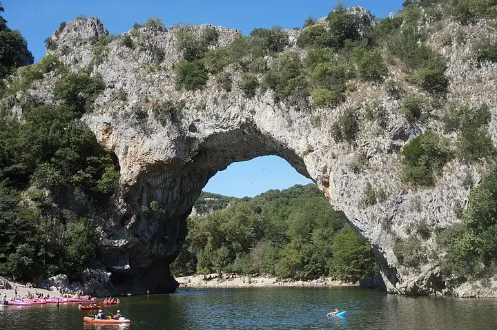
70 km (43 miles), 1 hr 40 min, intermediate
Photo: Superjuju10, CC BY-SA 4.0, resized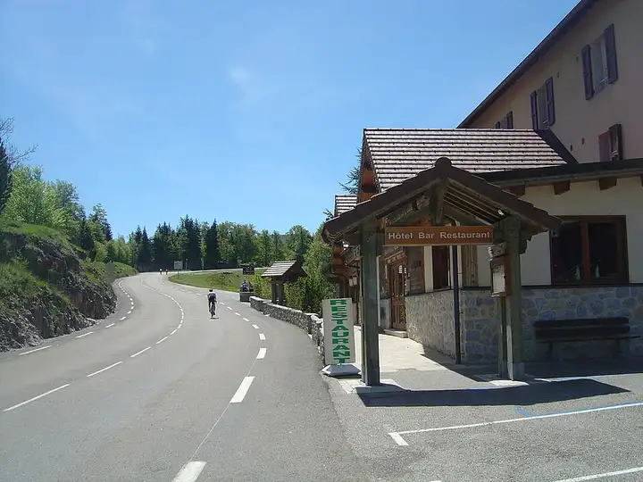
70 km (43 miles), 1 hr 45 min, advanced
Photo: Anthospace, CC BY-SA 4.0, resizedRoads change: passes close in winter, roadworks, rockfalls, local restrictions. Check the road before you set off. MotoLert does not replace road signs or the Highway Code.
Route planned by MotoLert with Valhalla on © OpenStreetMap contributors data (ODbL). Photos from Wikimedia Commons, with the author and licence under each image.