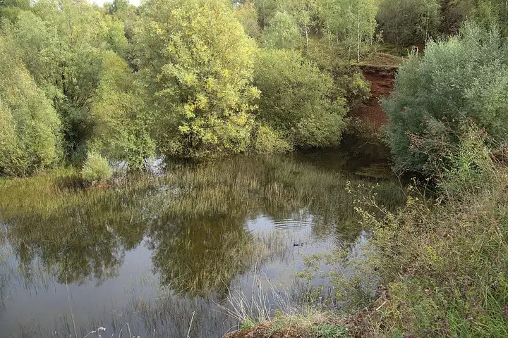
Terres Rouges: Minett nature reserves
26 km (16 miles), 50 min, beginner
Photo: Paul Braun, CC0, resizedMotorcycle ride in Luxembourg
26 km (16 miles), 40 min, beginner
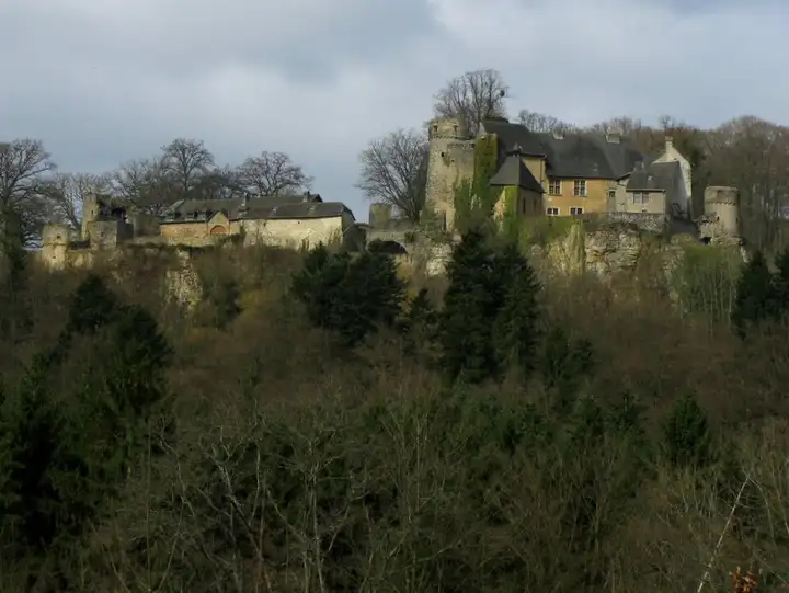
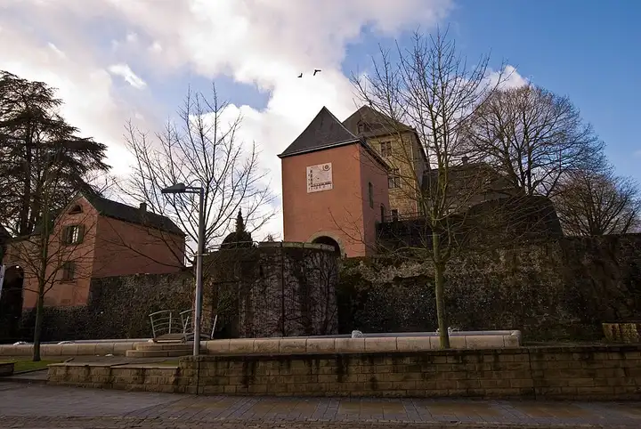
The Eisch valley, nicknamed the Valley of the Seven Castles, is crossed by a walking trail of about 27 km that links the castles through woods and villages between Koerich and Mersch. The road follows the same line, from Steinfort to Koerich, then Septfontaines, Ansembourg, Hollenfels and Schoenfels, before arriving in Mersch. The castles of Koerich, Hollenfels, Schoenfels and Mersch and the new castle of Ansembourg are open to visitors, while the old castle of Ansembourg and the castle of Septfontaines are private and can be seen from the road. Narrow, winding valley roads, shared with cyclists and walkers.
Download the GPXTrack and stops as a GPX file, for a sat nav or another app.
In MotoLert, this ride is one of the roadbooks: its route, stops and photos are in the app. Premium guides you along it; camera zones and reported hazards stay free. The app is coming soon to iPhone.
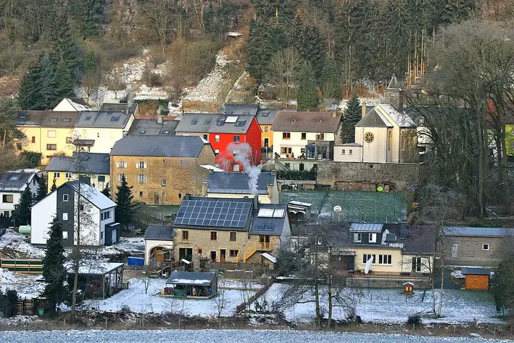
26 km (16 miles), 50 min, beginner
Photo: Paul Braun, CC0, resized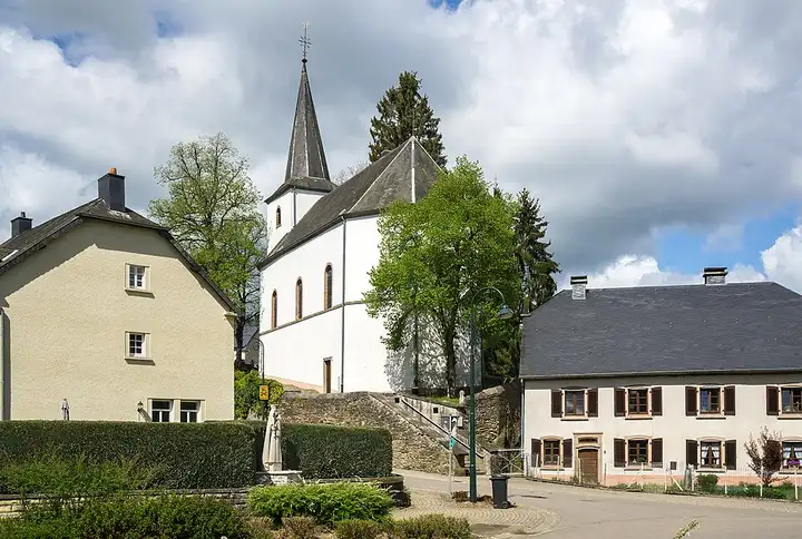
34 km (21 miles), 55 min, intermediate
Photo: MMFE, CC BY-SA 4.0, resized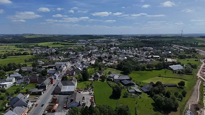
68 km (42 miles), 1 hr 40 min, intermediate
Photo: GilPe, CC BY-SA 4.0, resizedRoads change: passes close in winter, roadworks, rockfalls, local restrictions. Check the road before you set off. MotoLert does not replace road signs or the Highway Code.
Route planned by MotoLert with Valhalla on © OpenStreetMap contributors data (ODbL). Photos from Wikimedia Commons, with the author and licence under each image.