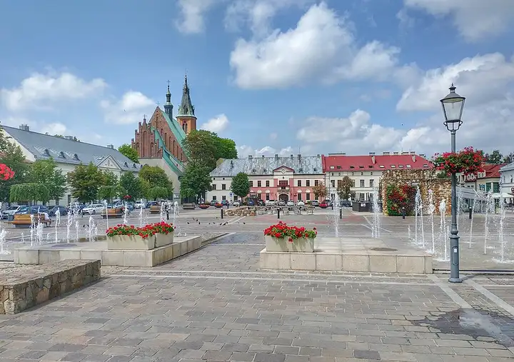
Trail of the Eagles' Nests (Polish Jura)
104 km (65 miles), 2 hr 15 min, beginner
Photo: MOs810, CC BY 4.0, resizedMotorcycle ride in Lesser Poland
48 km (30 miles), 1 hr, beginner
Known as the "queen of the Beskids", Babia Góra peaks at Diablak and towers over a national park created in 1954 and recognised by UNESCO as a biosphere reserve, one of the ranges most popular with Polish hikers. From Sucha Beskidzka, route 957 runs up the long village of Zawoja, then crosses the Krowiarki pass, at just over 1,000 m, where three waymarked paths meet, including the Main Beskid Trail, a classic start for the summit. The descent on the Orava side leads to the open-air museum at Zubrzyca Górna, then to Jabłonka. A flowing pass road; there is a fee to enter the national park, and the weather changes very fast on the mountain.
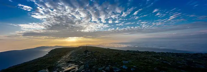
Download the GPXTrack and stops as a GPX file, for a sat nav or another app.
In MotoLert, this ride is one of the roadbooks: its route, stops and photos are in the app. Premium guides you along it; camera zones and reported hazards stay free. The app is coming soon to iPhone.
104 km (65 miles), 2 hr 15 min, beginner
Photo: MOs810, CC BY 4.0, resized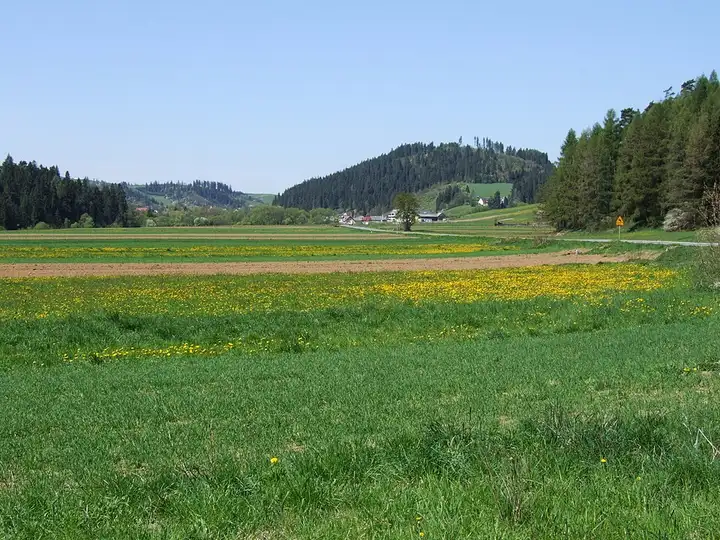
71 km (44 miles), 1 hr 30 min, intermediate
Photo: Jerzy Opioła, CC BY-SA 4.0, resized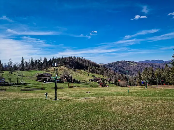
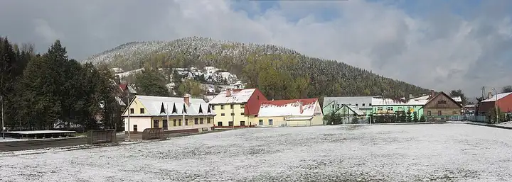
56 km (35 miles), 1 hr 15 min, intermediate
Photo: Andrzej Kępys, CC BY-SA 4.0, resizedRoads change: passes close in winter, roadworks, rockfalls, local restrictions. Check the road before you set off. MotoLert does not replace road signs or the Highway Code.
Route planned by MotoLert with Valhalla on © OpenStreetMap contributors data (ODbL). Photos from Wikimedia Commons, with the author and licence under each image.