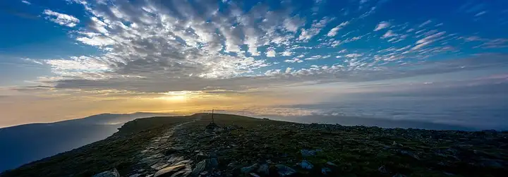
Babia Góra and the Krowiarki pass
48 km (30 miles), 1 hr, beginner
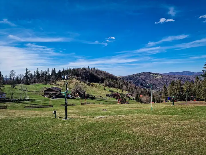
Photo: Kamil Pszczółkowski, CC BY 3.0, resizedMotorcycle ride in Silesia
56 km (35 miles), 1 hr 15 min, intermediate
The Silesian Beskids, where the Vistula rises on the slopes of Barania Góra, are a busy hiking range between Bielsko-Biała and the Czech border, overlooked by Skrzyczne. The road climbs from Szczyrk to the Salmopol pass (Biały Krzyż), one of the highest road passes in the Beskids and a meeting point of ridge paths, then winds down to Wisła. The Kubalonka pass then leads to Istebna and Koniaków, mountain villages of the "Three Villages" set high up near the border. The Salmopol pass is packed with motorbikes and cars at weekends, especially on the upper hairpins: it is better to come on a weekday.
Download the GPXTrack and stops as a GPX file, for a sat nav or another app.
In MotoLert, this ride is one of the roadbooks: its route, stops and photos are in the app. Premium guides you along it; camera zones and reported hazards stay free. The app is coming soon to iPhone.
48 km (30 miles), 1 hr, beginner
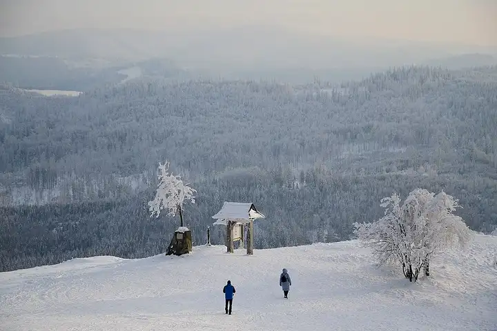
Photo: Kamil Pszczółkowski, CC BY 3.0, resized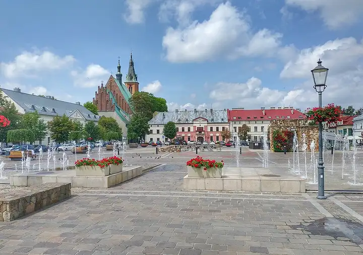
104 km (65 miles), 2 hr 15 min, beginner
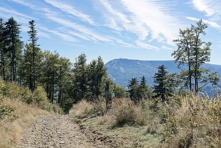
Photo: MOs810, CC BY 4.0, resized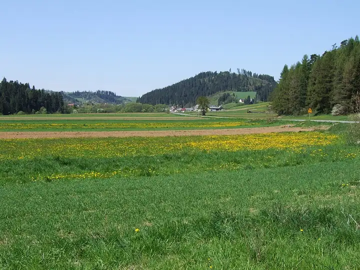
71 km (44 miles), 1 hr 30 min, intermediate
Photo: Jerzy Opioła, CC BY-SA 4.0, resizedRoads change: passes close in winter, roadworks, rockfalls, local restrictions. Check the road before you set off. MotoLert does not replace road signs or the Highway Code.
Route planned by MotoLert with Valhalla on © OpenStreetMap contributors data (ODbL). Photos from Wikimedia Commons, with the author and licence under each image.