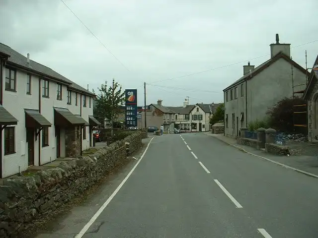
Evo Triangle, Denbighshire moors
21 miles (34 km), 50 min, intermediate
Photo: David Medcalf, CC BY-SA 2.0, resizedMotorcycle ride in Wales
51 miles (83 km), 1 hr 55 min, intermediate
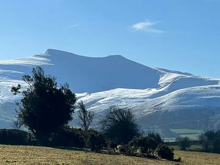
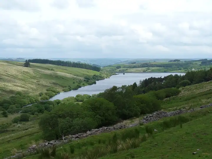
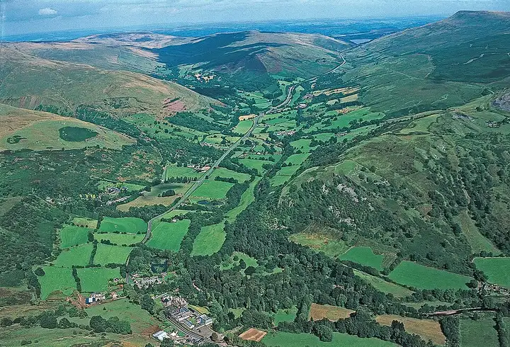
This crossing of Bannau Brycheiniog National Park (formerly the Brecon Beacons) links two classic Welsh walks: the Black Mountain, whose Carmarthen Fans overlook the Llyn y Fan Fach valley, and Pen y Fan, the highest point in southern Britain at 886 m. From Llandeilo, the A4069 climbs from Llangadog towards Brynaman through a series of bends and the Tro Gwcw hairpin, made famous by Top Gear filming, with a wide view over the Tywi valley. The route then reaches the Tawe valley via Craig-y-nos Country Park and runs past Crai Reservoir. It then climbs the A470 to the Pont ar Daf car park, the start of the easiest route up Pen y Fan, where the ride ends. Sheep on the road over the Black Mountain, weather that changes fast on the high ground, and the Pont ar Daf car park is paid and often full.
Download the GPXTrack and stops as a GPX file, for a sat nav or another app.
In MotoLert, this ride is one of the roadbooks: its route, stops and photos are in the app. Premium guides you along it; camera zones and reported hazards stay free. The app is coming soon to iPhone.
21 miles (34 km), 50 min, intermediate
Photo: David Medcalf, CC BY-SA 2.0, resized
29 miles (47 km), 1 hr 10 min, intermediate
Photo: RICHARD OUTRAM, CC BY 2.0, resized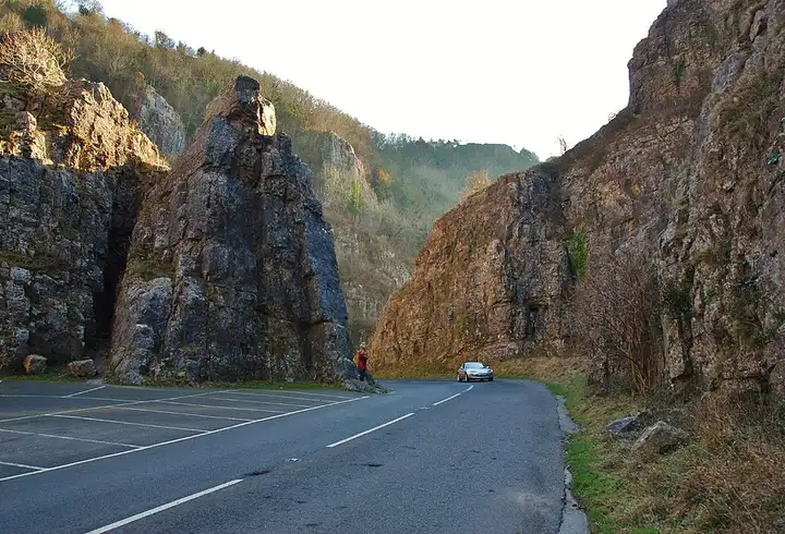
20 miles (32 km), 55 min, beginner
Photo: Mr Eugene Birchall, CC BY-SA 2.0, resizedRoads change: passes close in winter, roadworks, rockfalls, local restrictions. Check the road before you set off. MotoLert does not replace road signs or the Highway Code.
Route planned by MotoLert with Valhalla on © OpenStreetMap contributors data (ODbL). Photos from Wikimedia Commons, with the author and licence under each image.