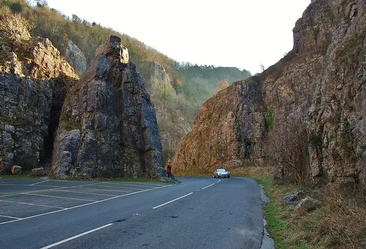
Cheddar Gorge and the Mendip Hills
20 miles (32 km), 55 min, beginner
Photo: Mr Eugene Birchall, CC BY-SA 2.0, resizedMotorcycle ride in England
26 miles (42 km), 1 hr 10 min, intermediate
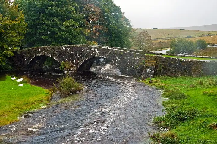
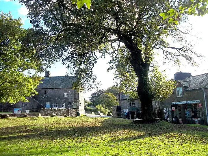
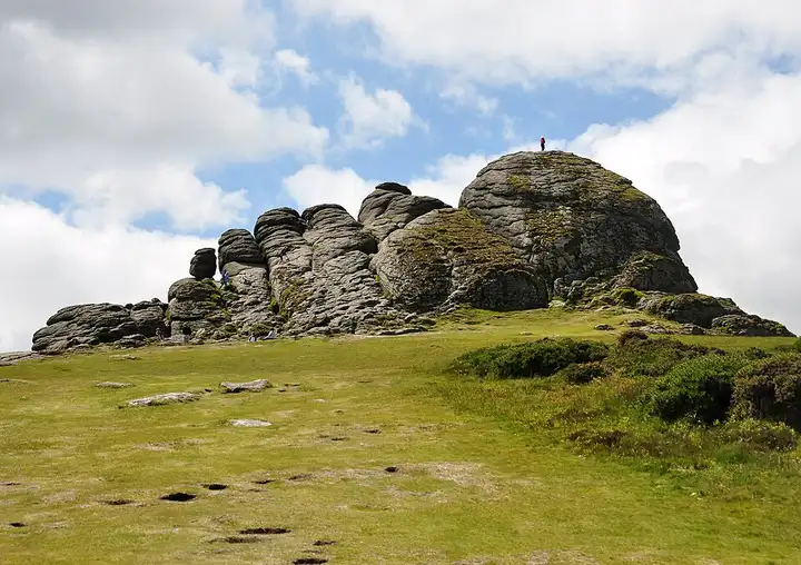
Dartmoor National Park is one of the great walking areas of south-west England. Its open moorland is dotted with tors, the granite outcrops that walkers come to climb, such as Haytor Rocks above Bovey Tracey. From Tavistock, the B3357 climbs onto the moor via Merrivale, then the B3212 links Princetown, Two Bridges and Postbridge, where a medieval clapper bridge made of stone slabs crosses the East Dart. Small roads then drop down to the village of Widecombe-in-the-Moor before climbing back towards Haytor and plunging down to Bovey Tracey. The speed limit is 40 mph on these moor roads, often unfenced, where ponies, sheep and cattle cross without warning: in some years more than a hundred animals are killed there.
Download the GPXTrack and stops as a GPX file, for a sat nav or another app.
In MotoLert, this ride is one of the roadbooks: its route, stops and photos are in the app. Premium guides you along it; camera zones and reported hazards stay free. The app is coming soon to iPhone.
20 miles (32 km), 55 min, beginner
Photo: Mr Eugene Birchall, CC BY-SA 2.0, resized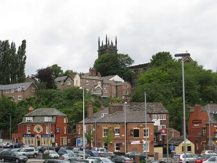
22 miles (35 km), 45 min, intermediate
Photo: Bernt Rostad, CC BY 2.0, resized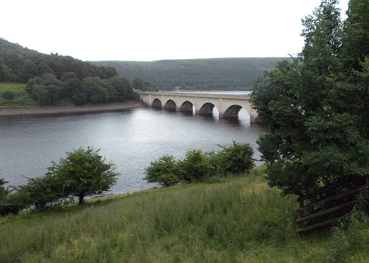
27 miles (44 km), 1 hr, intermediate
Photo: Neil Theasby, CC BY-SA 2.0, resizedRoads change: passes close in winter, roadworks, rockfalls, local restrictions. Check the road before you set off. MotoLert does not replace road signs or the Highway Code.
Route planned by MotoLert with Valhalla on © OpenStreetMap contributors data (ODbL). Photos from Wikimedia Commons, with the author and licence under each image.