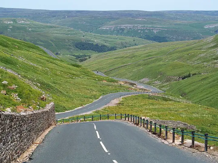
Buttertubs Pass and Swaledale
24 miles (39 km), 1 hr 5 min, intermediate
Photo: Kreuzschnabel, CC BY-SA 3.0, resizedMotorcycle ride in England
33 miles (53 km), 1 hr 20 min, beginner
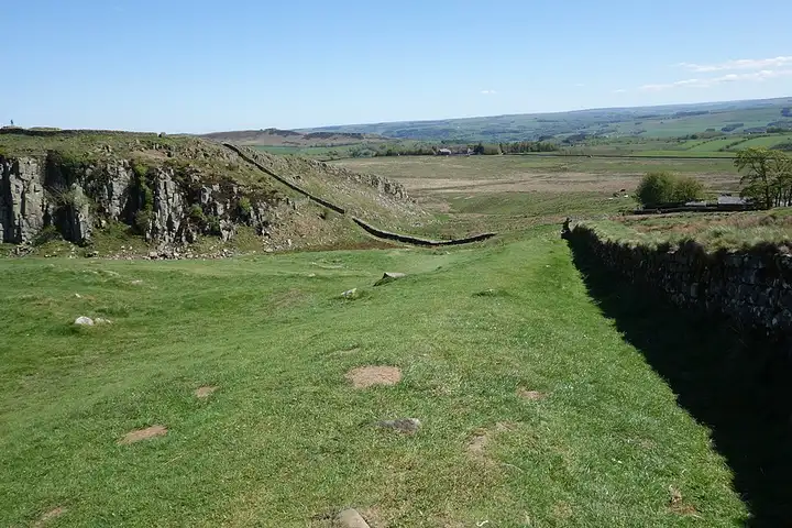
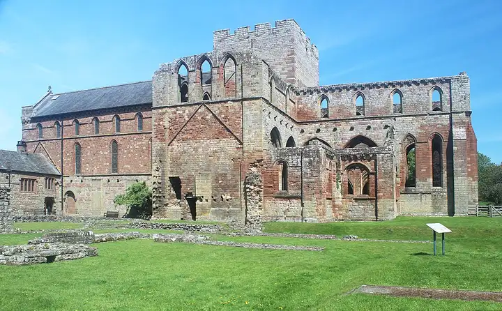
Hadrian’s Wall, a former Roman frontier and World Heritage Site, is followed by the Hadrian’s Wall Path. Its stretch between Steel Rigg and Sycamore Gap is said to be the most spectacular and the busiest with walkers. From Hexham, you join the B6318 at Chollerford. This is the Military Road, built in the mid-18th century after the Jacobite rising, which runs in long, rolling straights below the crags. It serves the car parks at Housesteads fort, Steel Rigg (at Once Brewed, near The Sill centre) and Cawfields, from where you reach the wall on foot, then passes Greenhead and Gilsland. After Birdoswald fort, a small road follows the line of the wall to Banks and Lanercost Priory before Brampton. The car parks overflow on fine weekends: watch for cars pulling out and walkers crossing.
Download the GPXTrack and stops as a GPX file, for a sat nav or another app.

In MotoLert, this ride is one of the roadbooks: its route, stops and photos are in the app. Premium guides you along it; camera zones and reported hazards stay free. The app is coming soon to iPhone.
24 miles (39 km), 1 hr 5 min, intermediate
Photo: Kreuzschnabel, CC BY-SA 3.0, resized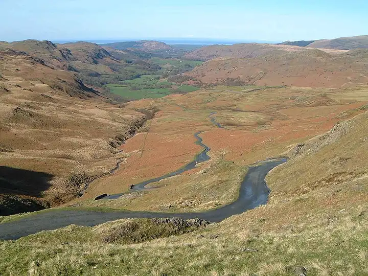
23 miles (37 km), 1 hr 5 min, advanced
Photo: Mick Knapton, CC BY-SA 3.0, resized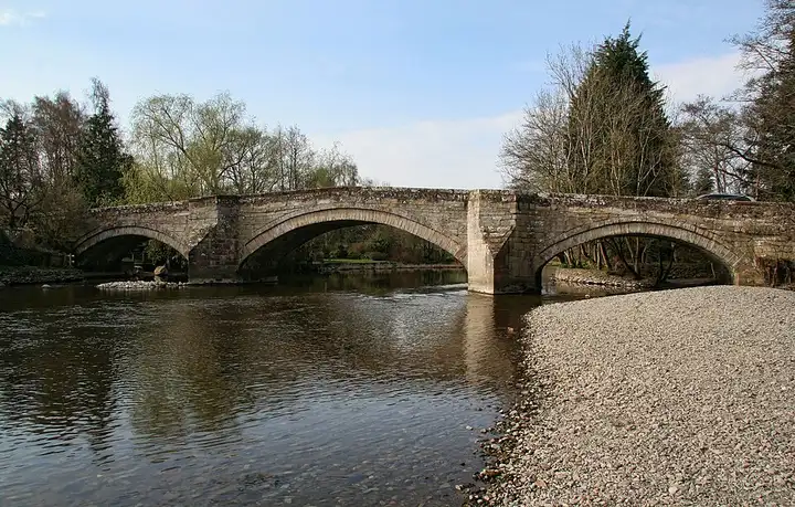
27 miles (44 km), 1 hr, intermediate
Photo: Peter McDermott, CC BY-SA 2.0, resizedRoads change: passes close in winter, roadworks, rockfalls, local restrictions. Check the road before you set off. MotoLert does not replace road signs or the Highway Code.
Route planned by MotoLert with Valhalla on © OpenStreetMap contributors data (ODbL). Photos from Wikimedia Commons, with the author and licence under each image.