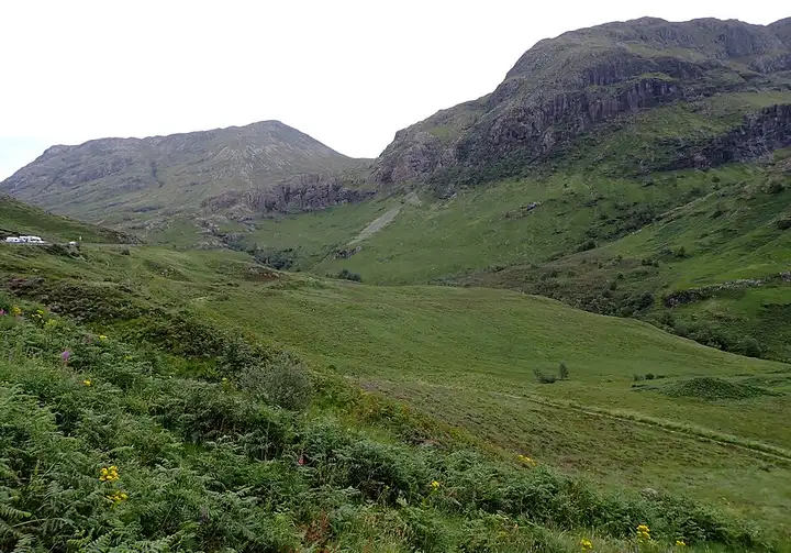
Glencoe and Rannoch Moor
46 miles (75 km), 1 hr 15 min, beginner
Photo: habiloid, CC BY-SA 2.0, resizedMotorcycle ride in Scotland
26 miles (41 km), 50 min, intermediate
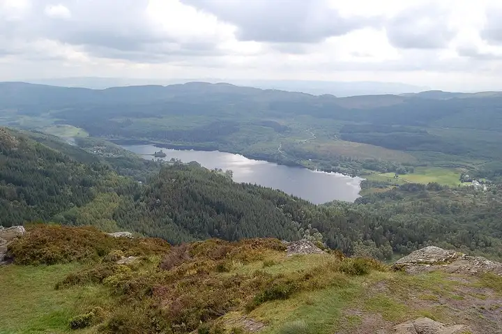
In the heart of Loch Lomond and The Trossachs National Park, this loop from Callander runs along Loch Venachar then Loch Achray, at the foot of Ben A’an. This small peak is very popular with walkers for its view over the lochs and nearby mountains. The A821 then crosses the Duke’s Pass, a road opened in the 19th century by the Duke of Montrose to serve his estate. It tops out at about 240 m and strings together tight bends and hairpins through the Queen Elizabeth Forest Park. After the David Marshall Lodge forest centre and the village of Aberfoyle, the A81 takes you back to Callander via Port of Menteith, beside the Lake of Menteith. There are few chances to overtake on the pass, gravel can cover the bends after heavy rain, and the Ben A’an car park is paid.
Download the GPXTrack and stops as a GPX file, for a sat nav or another app.
In MotoLert, this ride is one of the roadbooks: its route, stops and photos are in the app. Premium guides you along it; camera zones and reported hazards stay free. The app is coming soon to iPhone.
46 miles (75 km), 1 hr 15 min, beginner
Photo: habiloid, CC BY-SA 2.0, resized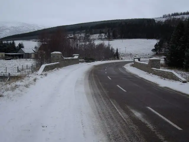
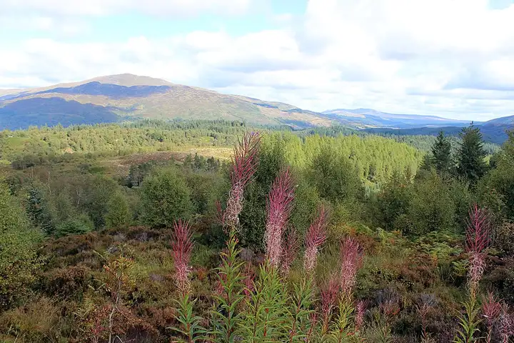
65 miles (105 km), 2 hr 15 min, intermediate
Photo: Stanley Howe, CC BY-SA 2.0, resized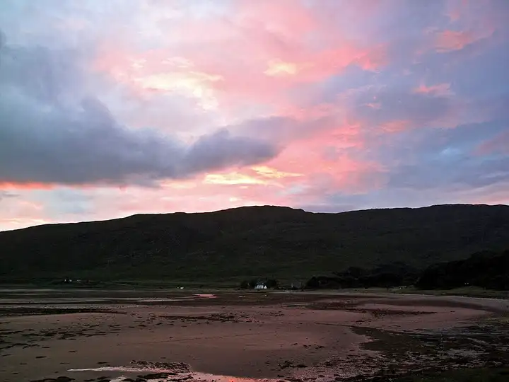
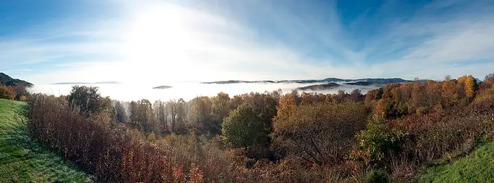
42 miles (68 km), 1 hr 55 min, advanced
Photo: brian gillman, CC BY 3.0, resizedRoads change: passes close in winter, roadworks, rockfalls, local restrictions. Check the road before you set off. MotoLert does not replace road signs or the Highway Code.
Route planned by MotoLert with Valhalla on © OpenStreetMap contributors data (ODbL). Photos from Wikimedia Commons, with the author and licence under each image.