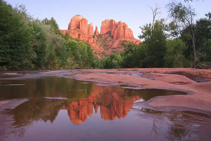
Sedona and Oak Creek Canyon (Arizona)
37 miles (59 km), 45 min, intermediate
Photo: Adam Baker, CC BY 2.0, resizedMotorcycle ride in Texas
62 miles (101 km), 1 hr 35 min, intermediate
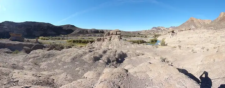
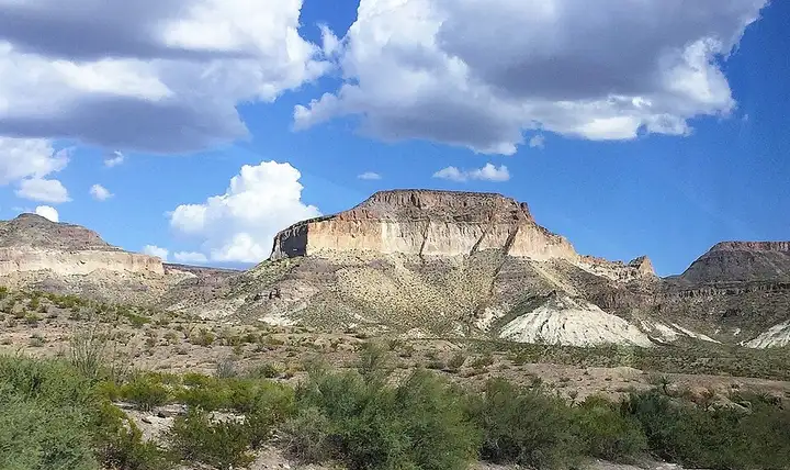
FM 170 follows the Rio Grande, the border with Mexico, through Big Bend Ranch State Park, among desert canyons. Hikers stop at the Closed Canyon car park for an out-and-back walk of about 2.3 km into a narrow gorge, or at the Hoodoos trailhead, two trails reached straight from the road. For riders, it is a run of bends, rises and dips, with the Big Hill climb, a 15% gradient that is among the steepest on Texas roads. Park entry costs $5 per person per day (Barton Warnock and Fort Leaton centres), and the heat often goes above 38 °C by late morning: set off early with plenty of water.
Download the GPXTrack and stops as a GPX file, for a sat nav or another app.
In MotoLert, this ride is one of the roadbooks: its route, stops and photos are in the app. Premium guides you along it; camera zones and reported hazards stay free. The app is coming soon to iPhone.
37 miles (59 km), 45 min, intermediate
Photo: Adam Baker, CC BY 2.0, resized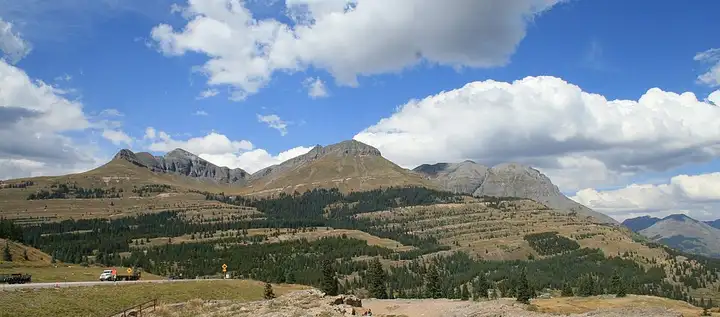
73 miles (118 km), 1 hr 30 min, advanced
Photo: Andreas F. Borchert, CC BY-SA 4.0, resized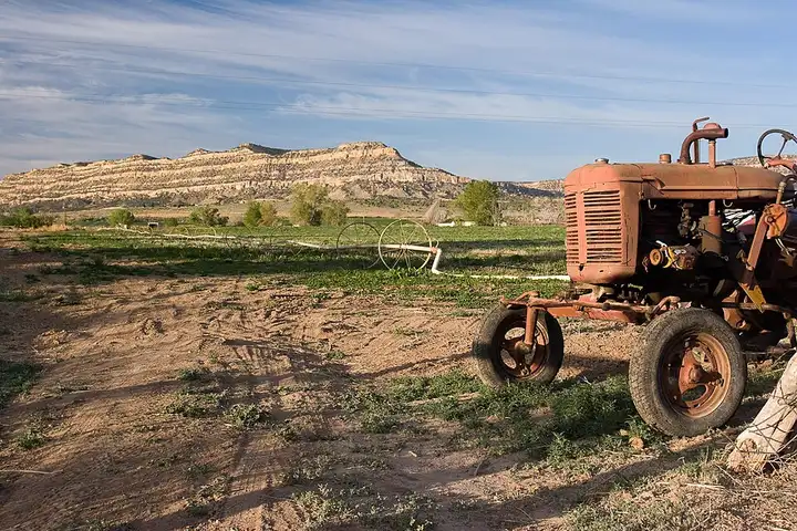
65 miles (104 km), 1 hr 20 min, intermediate
Photo: Greg Willis, CC BY-SA 2.0, resizedRoads change: passes close in winter, roadworks, rockfalls, local restrictions. Check the road before you set off. MotoLert does not replace road signs or the Highway Code.
Route planned by MotoLert with Valhalla on © OpenStreetMap contributors data (ODbL). Photos from Wikimedia Commons, with the author and licence under each image.