
Road to Hāna (Maui, Hawaii)
45 miles (73 km), 1 hr 35 min, intermediate
Photo: navin75 (Flickr), CC BY-SA 2.0, resizedMotorcycle ride in Hawaii
51 miles (82 km), 1 hr 50 min, beginner
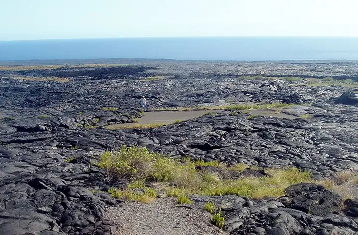
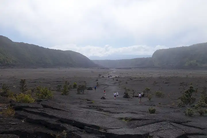
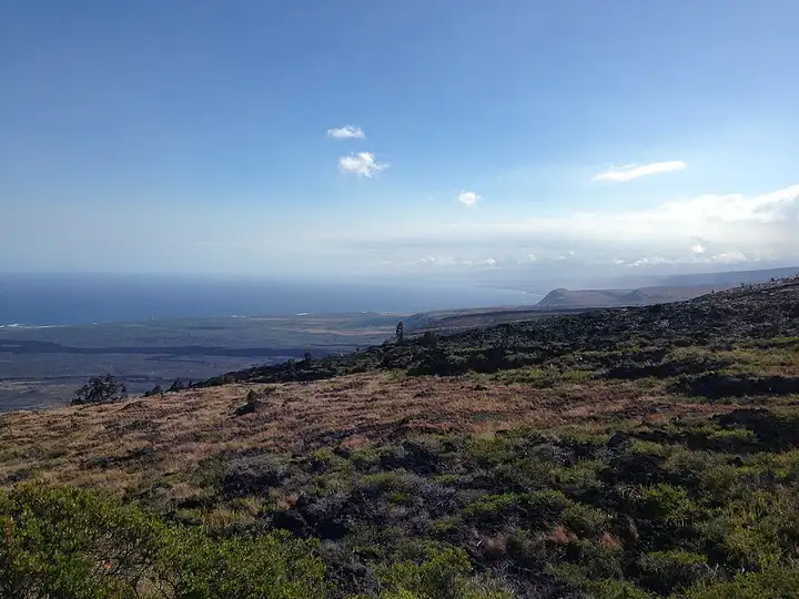
From Hilo, the road climbs to the village of Volcano, then enters Hawaiʻi Volcanoes National Park, where Chain of Craters Road descends for nearly 30 km from the summit of Kīlauea to the coast. It passes a series of craters and lava flows: the Kīlauea Iki viewpoint, where the trail of the same name starts, Pauahi Crater and its boardwalk, the Mauna Ulu lava field, then the Kealakomo cliff, which rises more than 600 m above the ocean. The road is winding but easy, and ends in a dead end at the edge of the cliffs where the Hōlei sea arch stood until it collapsed in late September 2026. Entry costs $25 per motorcycle for 7 days, the summit car parks are often full before 10 am, and volcanic gases or eruptive activity can close areas without warning.
Download the GPXTrack and stops as a GPX file, for a sat nav or another app.
In MotoLert, this ride is one of the roadbooks: its route, stops and photos are in the app. Premium guides you along it; camera zones and reported hazards stay free. The app is coming soon to iPhone.
45 miles (73 km), 1 hr 35 min, intermediate
Photo: navin75 (Flickr), CC BY-SA 2.0, resized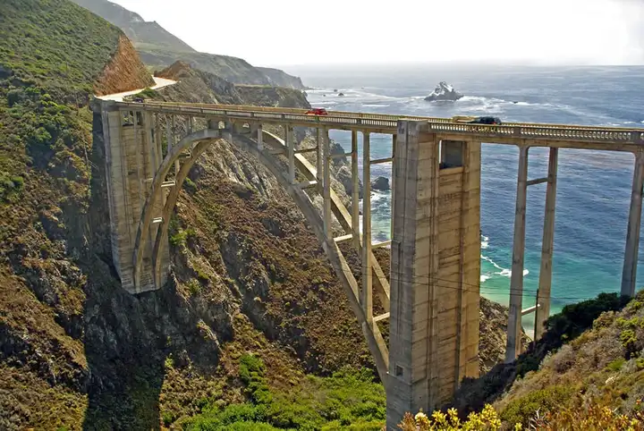
51 miles (83 km), 1 hr 10 min, intermediate
Photo: Astronautilus, CC BY 2.0, resized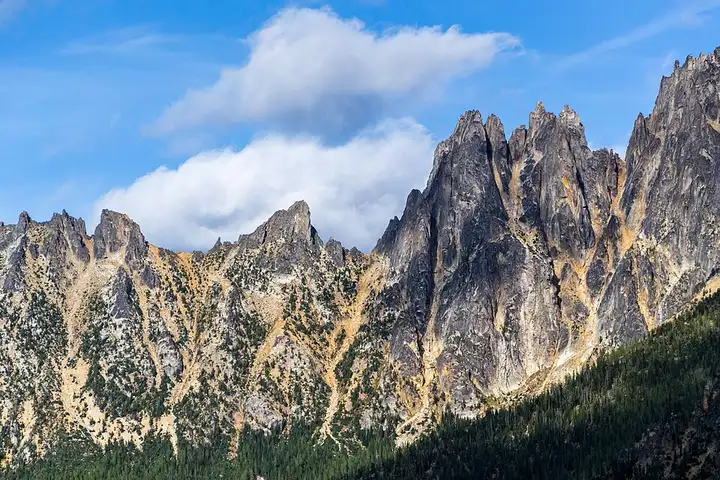
87 miles (140 km), 1 hr 55 min, intermediate
Photo: Sergei Akulich sakulich, CC0, resizedRoads change: passes close in winter, roadworks, rockfalls, local restrictions. Check the road before you set off. MotoLert does not replace road signs or the Highway Code.
Route planned by MotoLert with Valhalla on © OpenStreetMap contributors data (ODbL). Photos from Wikimedia Commons, with the author and licence under each image.