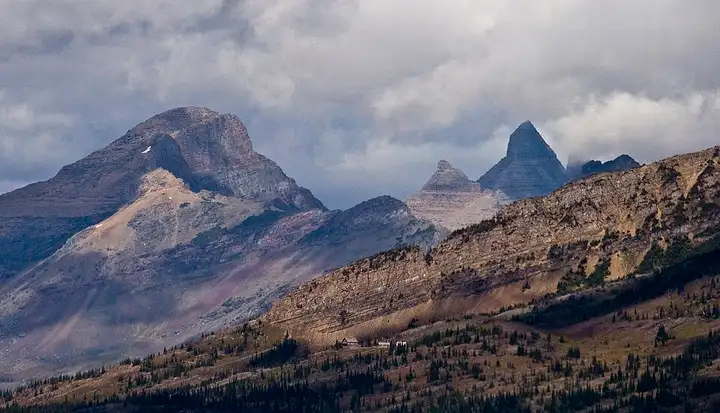
Going-to-the-Sun Road (Glacier National Park)
50 miles (80 km), 1 hr 15 min, intermediate
Photo: Acroterion, CC BY-SA 4.0, resizedMotorcycle ride in Washington State
87 miles (140 km), 1 hr 55 min, intermediate
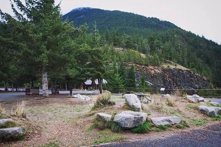
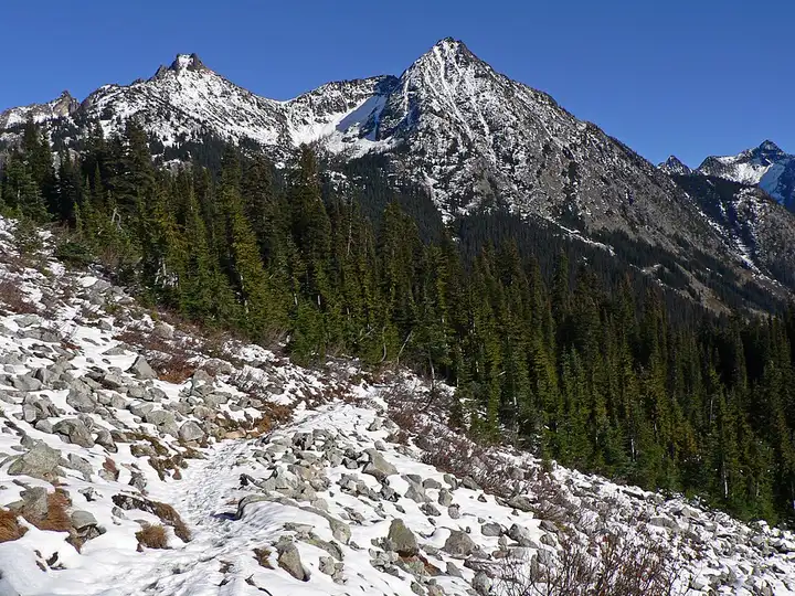
SR 20 crosses North Cascades National Park, one of the few US national parks with no entrance fee, before going over Rainy Pass and Washington Pass. Hikers stop for the Diablo Lake viewpoint, for the Heather–Maple Pass loop that starts at Rainy Pass, and for the view of the Liberty Bell massif from the Washington Pass area. For riders, it is a big surfaced mountain road with long curves, between forests and rock walls. The central section closes every winter, usually from mid-November to May (in 2026 it only reopened on 14 June, after repairs), and parking at Rainy Pass and Washington Pass requires a Northwest Forest Pass or an America the Beautiful pass.
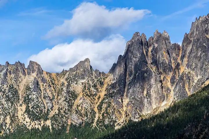
Download the GPXTrack and stops as a GPX file, for a sat nav or another app.
In MotoLert, this ride is one of the roadbooks: its route, stops and photos are in the app. Premium guides you along it; camera zones and reported hazards stay free. The app is coming soon to iPhone.
50 miles (80 km), 1 hr 15 min, intermediate
Photo: Acroterion, CC BY-SA 4.0, resized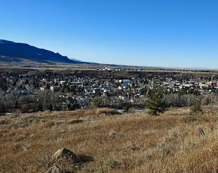
64 miles (103 km), 1 hr 35 min, intermediate
Photo: Tumbleweed1954, CC BY-SA 4.0, resized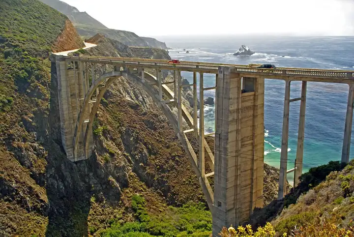
51 miles (83 km), 1 hr 10 min, intermediate
Photo: Astronautilus, CC BY 2.0, resizedRoads change: passes close in winter, roadworks, rockfalls, local restrictions. Check the road before you set off. MotoLert does not replace road signs or the Highway Code.
Route planned by MotoLert with Valhalla on © OpenStreetMap contributors data (ODbL). Photos from Wikimedia Commons, with the author and licence under each image.