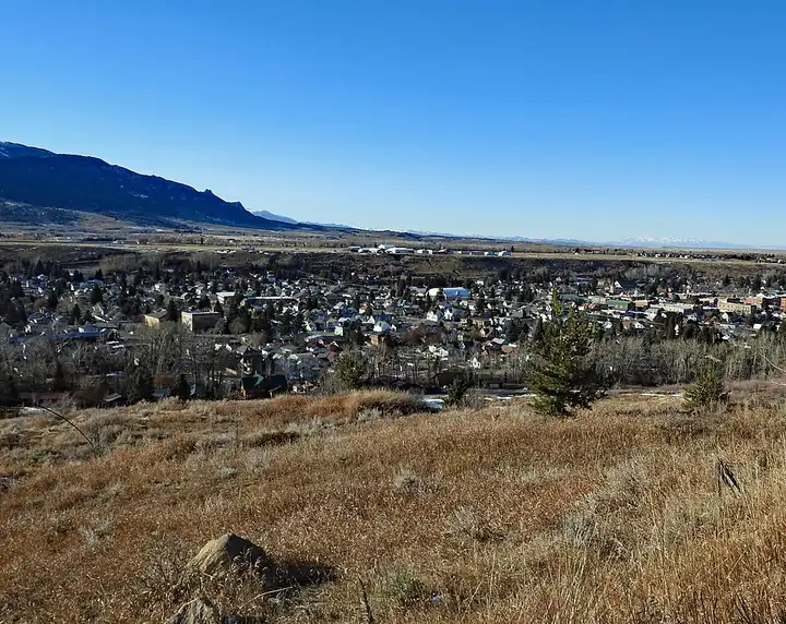
Beartooth Highway
64 miles (103 km), 1 hr 35 min, intermediate
Photo: Tumbleweed1954, CC BY-SA 4.0, resizedMotorcycle ride in South Dakota
42 miles (67 km), 1 hr 5 min, intermediate
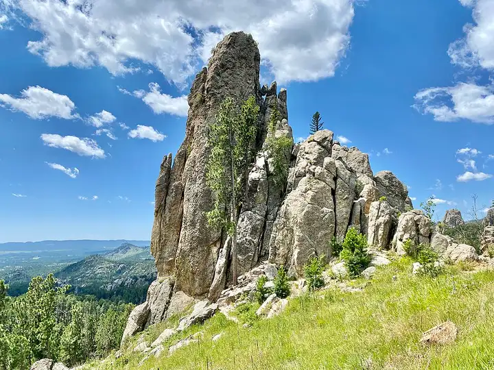
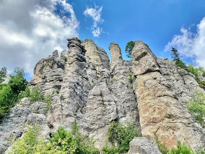
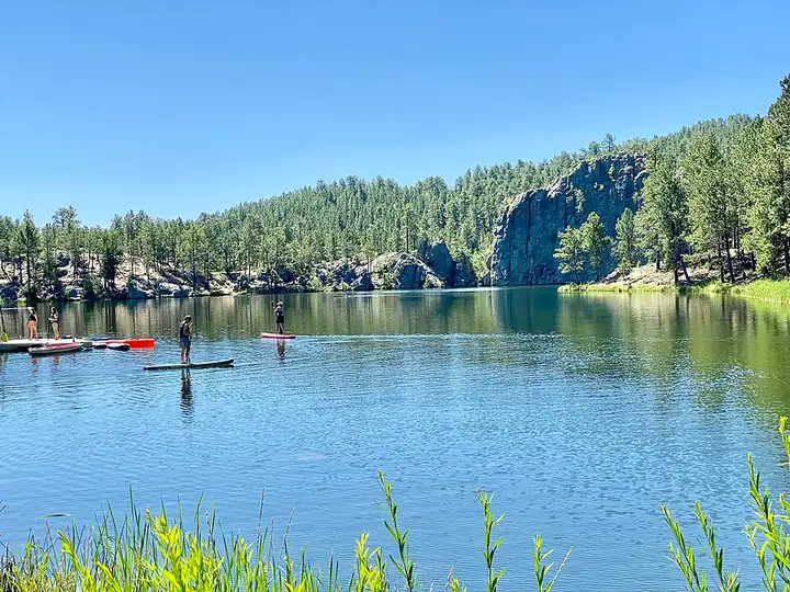
In Custer State Park, the Needles Highway (SD 87) threads between granite spires and passes through two tunnels cut into the rock, including the Needles Eye tunnel, about 2.4 m wide. Sylvan Lake is the start of trail no. 9 to Black Elk Peak, the highest point in South Dakota, and another trail leaves the road towards the Cathedral Spires. The route continues on the Iron Mountain Road, with its pigtail bridges and three tunnels that frame Mount Rushmore, on a road designed to be ridden slowly. An entrance licence ($20 per motorcycle, valid 1 to 7 days) is required as soon as you stop in the park, bison roam freely, and the Needles Highway closes with the first snow until 1 April at the earliest.
Download the GPXTrack and stops as a GPX file, for a sat nav or another app.
In MotoLert, this ride is one of the roadbooks: its route, stops and photos are in the app. Premium guides you along it; camera zones and reported hazards stay free. The app is coming soon to iPhone.
64 miles (103 km), 1 hr 35 min, intermediate
Photo: Tumbleweed1954, CC BY-SA 4.0, resized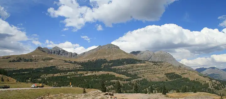
73 miles (118 km), 1 hr 30 min, advanced
Photo: Andreas F. Borchert, CC BY-SA 4.0, resized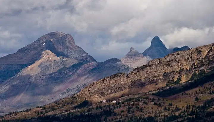
50 miles (80 km), 1 hr 15 min, intermediate
Photo: Acroterion, CC BY-SA 4.0, resizedRoads change: passes close in winter, roadworks, rockfalls, local restrictions. Check the road before you set off. MotoLert does not replace road signs or the Highway Code.
Route planned by MotoLert with Valhalla on © OpenStreetMap contributors data (ODbL). Photos from Wikimedia Commons, with the author and licence under each image.