
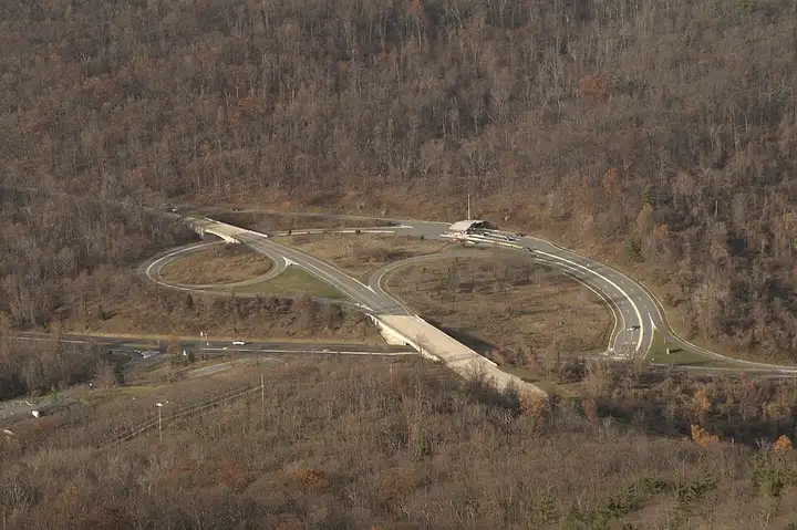
Blue Ridge Parkway and Linn Cove Viaduct
49 miles (79 km), 1 hr 20 min, beginner
Photo: Michael Sprague, CC BY-SA 2.0, resizedMotorcycle ride in Virginia
68 miles (109 km), 1 hr 50 min, beginner
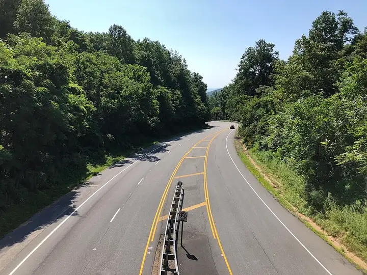
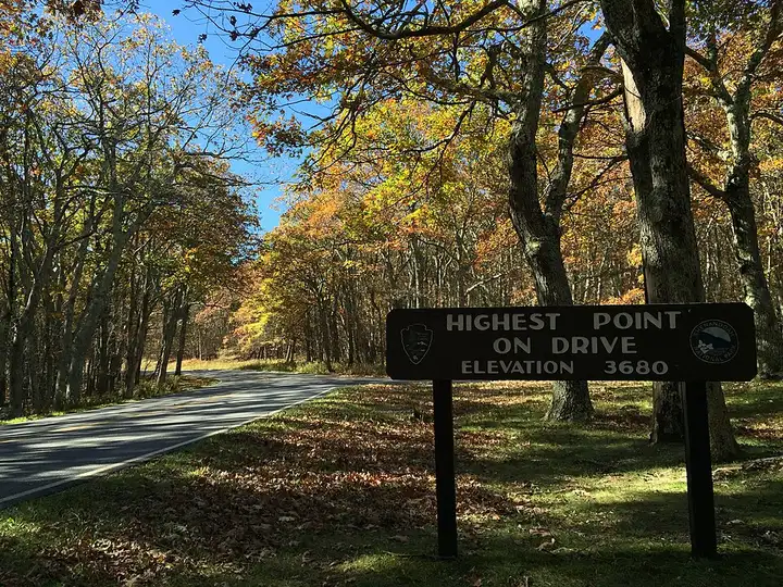
Skyline Drive runs along the crest of the Blue Ridge Mountains in Virginia, through Shenandoah National Park. From Front Royal, it passes Thornton Gap, Skyland and Big Meadows, with more than seventy viewpoints over the Shenandoah Valley. The speed limit is 35 mph, deer and bears are common, and there is a fee to enter the park.
Download the GPXTrack and stops as a GPX file, for a sat nav or another app.
In MotoLert, this ride is one of the roadbooks: its route, stops and photos are in the app. Premium guides you along it; camera zones and reported hazards stay free. The app is coming soon to iPhone.
49 miles (79 km), 1 hr 20 min, beginner
Photo: Michael Sprague, CC BY-SA 2.0, resized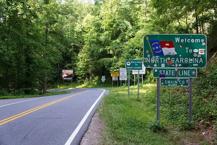
36 miles (58 km), 50 min, advanced
Photo: Washuotaku, CC BY-SA 4.0, resized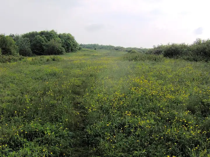
52 miles (83 km), 1 hr 20 min, intermediate
Photo: Brian Stansberry, CC BY 3.0, resizedRoads change: passes close in winter, roadworks, rockfalls, local restrictions. Check the road before you set off. MotoLert does not replace road signs or the Highway Code.
Route planned by MotoLert with Valhalla on © OpenStreetMap contributors data (ODbL). Photos from Wikimedia Commons, with the author and licence under each image.