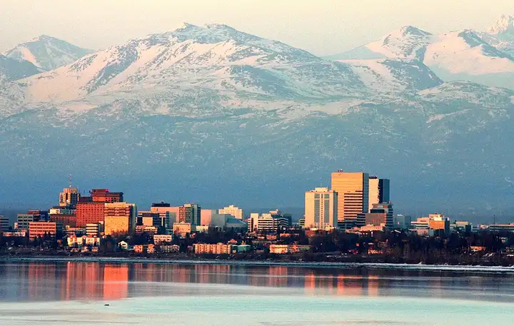
Seward Highway (Alaska)
127 miles (205 km), 2 hr 45 min, beginner
Photo: Frank K, CC BY 2.0, resizedMotorcycle ride in Alaska
83 miles (133 km), 1 hr 50 min, intermediate
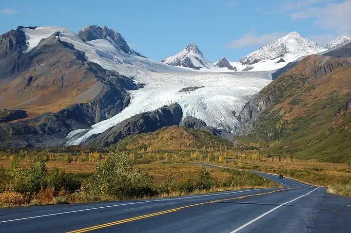
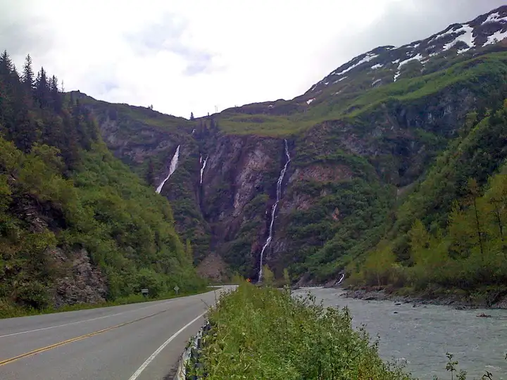
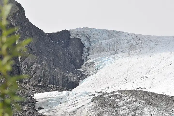
The Richardson Highway reaches the port of Valdez by crossing the Chugach Mountains over Thompson Pass, at about 855 m, among glaciers. Worthington Glacier, described as one of the most accessible in Alaska, can be seen from a car park along short surfaced paths, and walkers extend the stop on the Goat Trail, about 5 km there and back, above Keystone Canyon. After the pass, the road plunges into this narrow canyon, where Bridal Veil Falls and Horsetail Falls can be seen from roadside lay-bys. Parking at Worthington is charged, the weather can turn fast on the pass, and Valdez is the end of the road: plan to return the same way.
Download the GPXTrack and stops as a GPX file, for a sat nav or another app.
In MotoLert, this ride is one of the roadbooks: its route, stops and photos are in the app. Premium guides you along it; camera zones and reported hazards stay free. The app is coming soon to iPhone.
127 miles (205 km), 2 hr 45 min, beginner
Photo: Frank K, CC BY 2.0, resized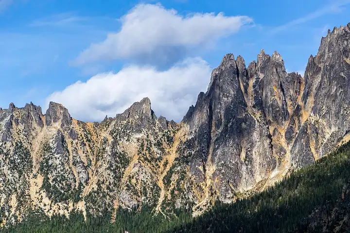
87 miles (140 km), 1 hr 55 min, intermediate
Photo: Sergei Akulich sakulich, CC0, resized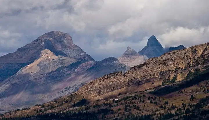
50 miles (80 km), 1 hr 15 min, intermediate
Photo: Acroterion, CC BY-SA 4.0, resizedRoads change: passes close in winter, roadworks, rockfalls, local restrictions. Check the road before you set off. MotoLert does not replace road signs or the Highway Code.
Route planned by MotoLert with Valhalla on © OpenStreetMap contributors data (ODbL). Photos from Wikimedia Commons, with the author and licence under each image.