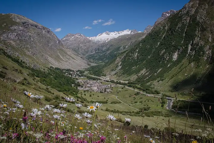
Col de l’Iseran, from the Tarentaise to the Haute-Maurienne
80 km (50 miles), 1 hr 40 min, advanced
Photo: Bonneval sur arc, CC BY-SA 4.0, resizedMotorcycle ride in Auvergne-Rhône-Alpes
59 km (37 miles), 1 hr 20 min, intermediate
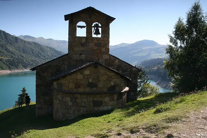
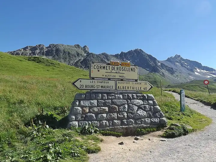
In the heart of the Beaufortain, Lac de Roselend, the reservoir of a dam brought into service in 1962, and the Cormet de Roselend are well-known stops for walkers. The GR5 and the Tour du Beaufortain pass through, and Les Chapieux is a stage on the Tour du Mont Blanc. From Albertville, the D925 climbs the valley to Beaufort, then up to the Col du Méraillet, beside the lake, near the Roselend chapel, the only remains of the flooded hamlet. The road then rises through the high pastures to the Cormet de Roselend, and drops down through Les Chapieux towards Bourg-Saint-Maurice. The pass is closed in winter by order of the département (closed at the end of October, reopening date in spring varies): check it is open before you go.
Download the GPXTrack and stops as a GPX file, for a sat nav or another app.
In MotoLert, this ride is one of the roadbooks: its route, stops and photos are in the app. Premium guides you along it; camera zones and reported hazards stay free. The app is coming soon to iPhone.
80 km (50 miles), 1 hr 40 min, advanced
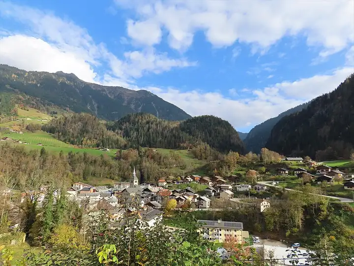
Photo: Bonneval sur arc, CC BY-SA 4.0, resized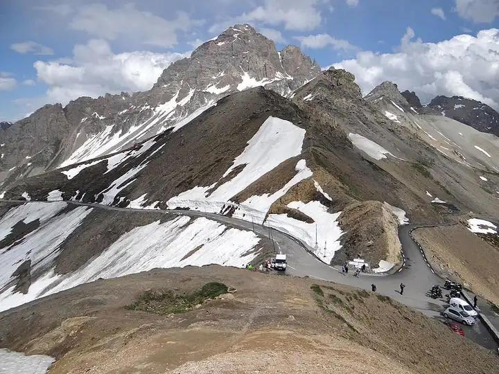
72 km (45 miles), 1 hr 35 min, advanced
Photo: MOSSOT, CC BY-SA 3.0, resized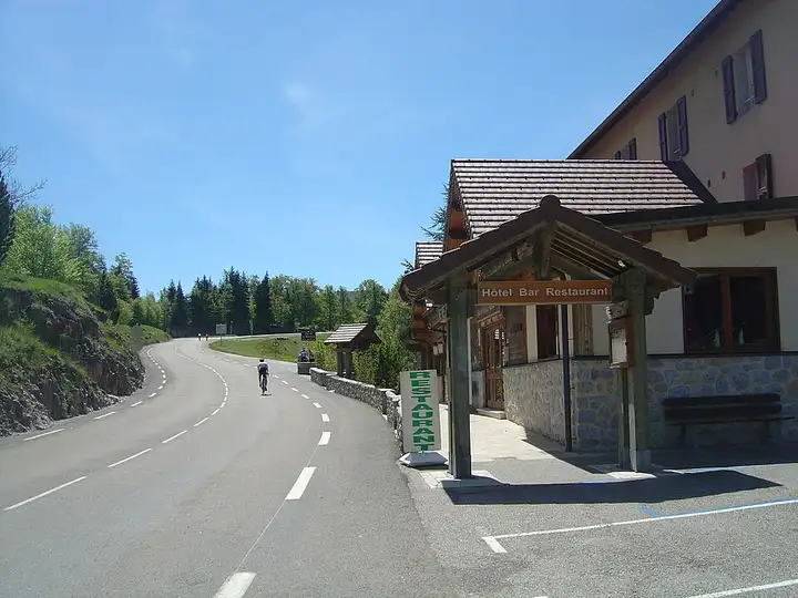
70 km (43 miles), 1 hr 45 min, advanced
Photo: Anthospace, CC BY-SA 4.0, resizedRoads change: passes close in winter, roadworks, rockfalls, local restrictions. Check the road before you set off. MotoLert does not replace road signs or the Highway Code.
Route planned by MotoLert with Valhalla on © OpenStreetMap contributors data (ODbL). Photos from Wikimedia Commons, with the author and licence under each image.