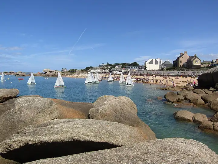
Pink Granite Coast
40 km (25 miles), 1 hr, beginner
Photo: Spendeau, CC BY-SA 3.0, resizedMotorcycle ride in Brittany
72 km (44 miles), 1 hr 35 min, beginner
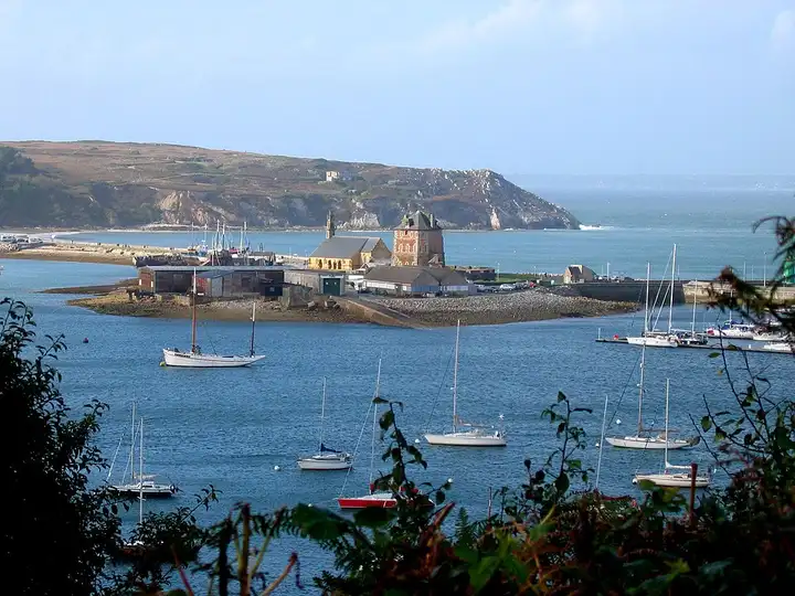
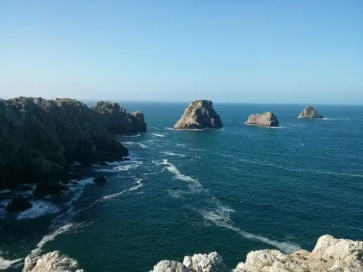
The highest point of the Montagnes Noires, Ménez-Hom guards the way into the Crozon peninsula. A straight departmental road, the D83, leads to a car park just below the summit. On a clear day the view stretches over the Rade de Brest and Douarnenez Bay. The peninsula is then explored along the line of the coast path. Through Crozon and Morgat, the road runs out to Cap de la Chèvre, a lookout over the ocean popular with walkers. It then comes back towards Camaret-sur-Mer and ends at Pointe de Pen-Hir, facing the Tas de Pois rocks, on a Conservatoire du littoral site with free access. Cap de la Chèvre and Pen-Hir are dead ends whose car parks fill up fast in summer (paid in season at Pen-Hir), and the wind can be violent on the headlands.
Download the GPXTrack and stops as a GPX file, for a sat nav or another app.
In MotoLert, this ride is one of the roadbooks: its route, stops and photos are in the app. Premium guides you along it; camera zones and reported hazards stay free. The app is coming soon to iPhone.
40 km (25 miles), 1 hr, beginner
Photo: Spendeau, CC BY-SA 3.0, resized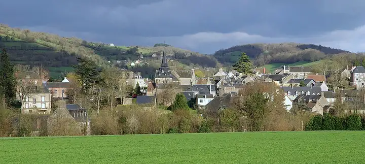
50 km (31 miles), 1 hr 15 min, beginner
Photo: JP Hamon, CC BY-SA 3.0, resized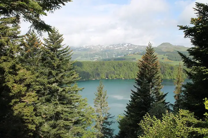
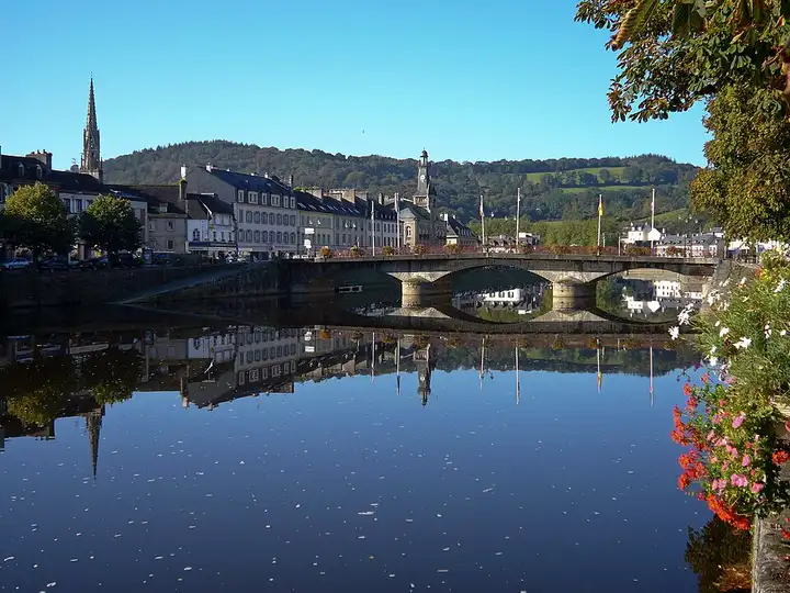
60 km (37 miles), 1 hr 40 min, intermediate
Photo: Jsamwrites, CC BY-SA 4.0, resizedRoads change: passes close in winter, roadworks, rockfalls, local restrictions. Check the road before you set off. MotoLert does not replace road signs or the Highway Code.
Route planned by MotoLert with Valhalla on © OpenStreetMap contributors data (ODbL). Photos from Wikimedia Commons, with the author and licence under each image.