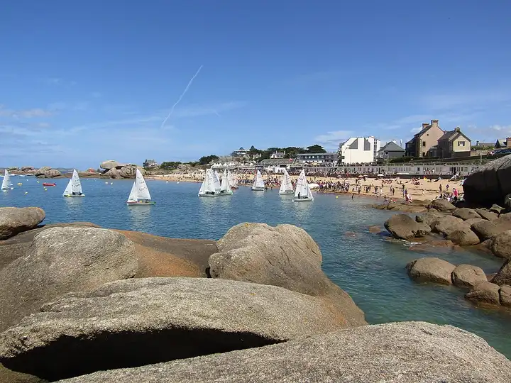
Pink Granite Coast
40 km (25 miles), 1 hr, beginner
Photo: Spendeau, CC BY-SA 3.0, resizedMotorcycle ride in Normandy
50 km (31 miles), 1 hr 15 min, beginner
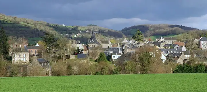
The Suisse Normande owes its nickname to the steep hills that the Orne and its tributaries have cut into the hedgerow country, an area popular with walkers and paragliders. From Thury-Harcourt, the road reaches Clécy and the Pain de Sucre, then the Route des Crêtes, which starts from Saint-Omer and looks down over the Orne valley and the Rochers des Parcs. After Pont-d’Ouilly, it climbs to the Roche d’Oëtre, a rocky viewpoint 118 m high above the Rouvre gorges, with a car park, café and paths. It ends past the Rabodanges dam and lake to Putanges. Narrow, twisty little roads, shared with cyclists and walkers at weekends when it is sunny.
Download the GPXTrack and stops as a GPX file, for a sat nav or another app.
In MotoLert, this ride is one of the roadbooks: its route, stops and photos are in the app. Premium guides you along it; camera zones and reported hazards stay free. The app is coming soon to iPhone.
40 km (25 miles), 1 hr, beginner
Photo: Spendeau, CC BY-SA 3.0, resized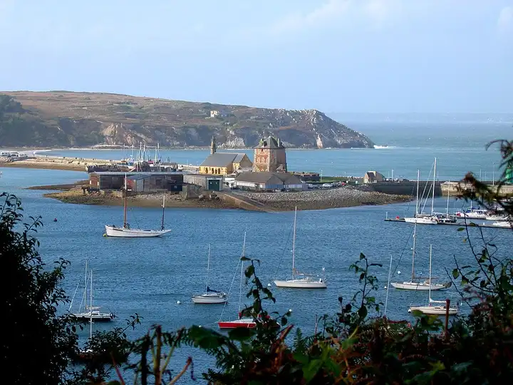
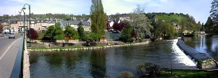
72 km (44 miles), 1 hr 35 min, beginner
Photo: Michael Rapp, CC BY-SA 3.0, resized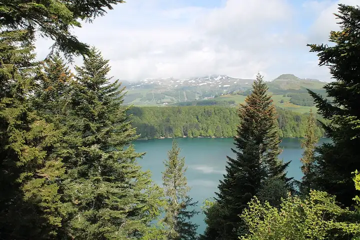
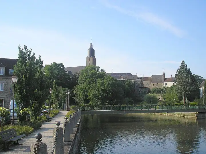
60 km (37 miles), 1 hr 40 min, intermediate
Photo: Jsamwrites, CC BY-SA 4.0, resizedRoads change: passes close in winter, roadworks, rockfalls, local restrictions. Check the road before you set off. MotoLert does not replace road signs or the Highway Code.
Route planned by MotoLert with Valhalla on © OpenStreetMap contributors data (ODbL). Photos from Wikimedia Commons, with the author and licence under each image.