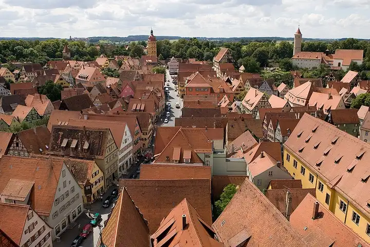
Romantic Road, from Rothenburg to Nördlingen
76 km (47 miles), 1 hr 25 min, beginner
Photo: Mylius, CC BY-SA 3.0, resizedMotorcycle ride in Bavaria
61 km (38 miles), 1 hr 15 min, beginner
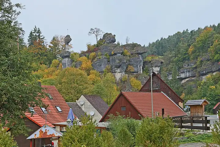
Between Bamberg, Bayreuth and Nuremberg, Franconian Switzerland is a limestone plateau cut by valleys full of cliffs, caves and villages tucked against the rocks. It is known for hiking and climbing, with hundreds of kilometres of waymarked paths. The B470 runs up the Wiesent valley via Muggendorf to the foot of Gößweinstein and its basilica, then passes the rocks of Tüchersfeld before Pottenstein. The way back via Obertrubach and Egloffstein follows the Trubach valley, dotted with mills and climbing rocks. Narrow, twisty roads, very busy with day-trippers at weekends; to the north, the B22 over the Würgauer Berg, closed to motorcycles at weekends and on public holidays, is not used.
Download the GPXTrack and stops as a GPX file, for a sat nav or another app.
In MotoLert, this ride is one of the roadbooks: its route, stops and photos are in the app. Premium guides you along it; camera zones and reported hazards stay free. The app is coming soon to iPhone.
76 km (47 miles), 1 hr 25 min, beginner
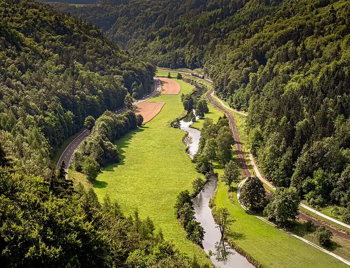
Photo: Mylius, CC BY-SA 3.0, resized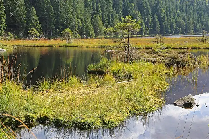
52 km (32 miles), 1 hr, beginner
Photo: W. Bulach, CC BY-SA 4.0, resized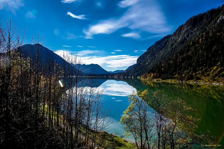
67 km (42 miles), 1 hr 25 min, intermediate
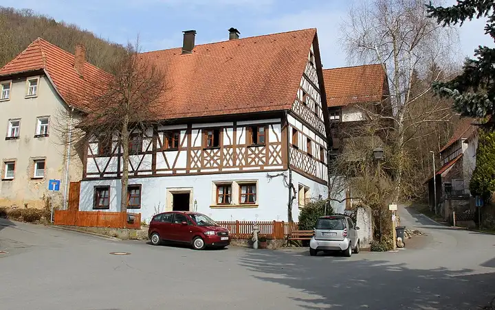
Photo: Heribert Pohl, CC BY-SA 2.0, resizedRoads change: passes close in winter, roadworks, rockfalls, local restrictions. Check the road before you set off. MotoLert does not replace road signs or the Highway Code.
Route planned by MotoLert with Valhalla on © OpenStreetMap contributors data (ODbL). Photos from Wikimedia Commons, with the author and licence under each image.