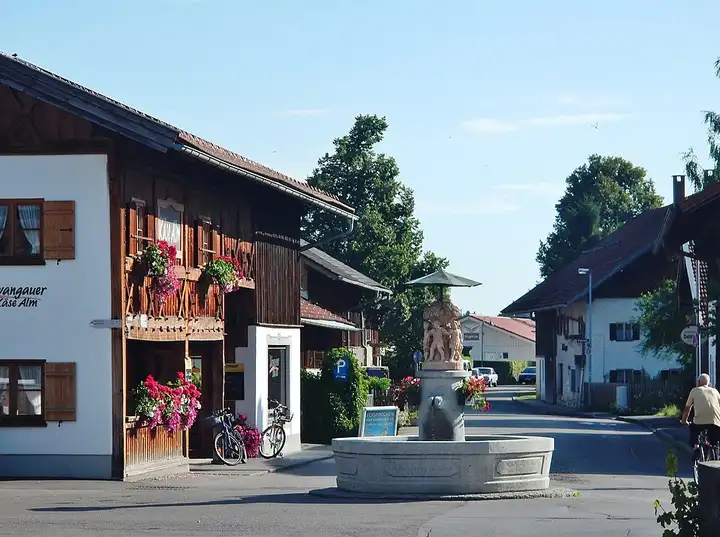
German Alpine Road, from Füssen to Garmisch-Partenkirchen
72 km (45 miles), 1 hr 20 min, beginner
Photo: qwesy qwesy, CC BY 3.0, resizedMotorcycle ride in Bavaria
67 km (42 miles), 1 hr 25 min, intermediate
Between Bad Tölz and Kochel am See, this roadbook through the Bavarian Prealps links the Sylvenstein reservoir, the wild Isar valley and the Walchensee, the starting point for the classic hikes up the Herzogstand and the Jochberg. The Vorderriß–Wallgau section is a narrow, twisty toll road (about €6 a day for a motorcycle). Then the B11 runs along the Walchensee before dropping in hairpins over the Kesselberg towards the Kochelsee; at the pass, the walkers’ car park gives access to the Jochberg path, a viewpoint over both lakes. Warning: from 1 April to 31 October, the Kesselberg climb from Kochel is closed to motorcycles every day from 3 pm to 10 pm. This route rides it downhill, which is not affected, and the car parks are often full at weekends.
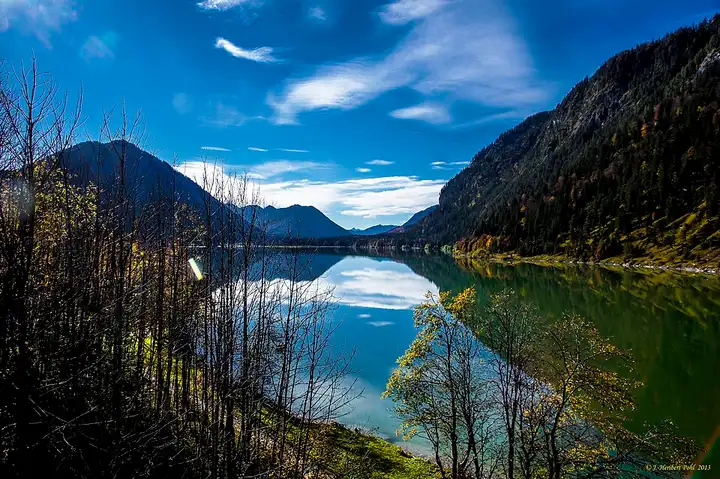
Download the GPXTrack and stops as a GPX file, for a sat nav or another app.
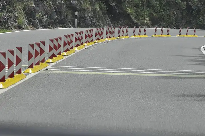
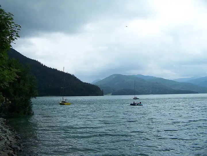
In MotoLert, this ride is one of the roadbooks: its route, stops and photos are in the app. Premium guides you along it; camera zones and reported hazards stay free. The app is coming soon to iPhone.
72 km (45 miles), 1 hr 20 min, beginner
Photo: qwesy qwesy, CC BY 3.0, resized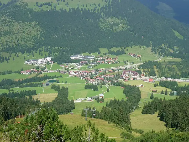
40 km (25 miles), 45 min, intermediate
Photo: SchiDD, CC BY-SA 4.0, resized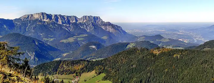
30 km (19 miles), 40 min, intermediate
Photo: Coastfield, CC BY-SA 4.0, resizedRoads change: passes close in winter, roadworks, rockfalls, local restrictions. Check the road before you set off. MotoLert does not replace road signs or the Highway Code.
Route planned by MotoLert with Valhalla on © OpenStreetMap contributors data (ODbL). Photos from Wikimedia Commons, with the author and licence under each image.