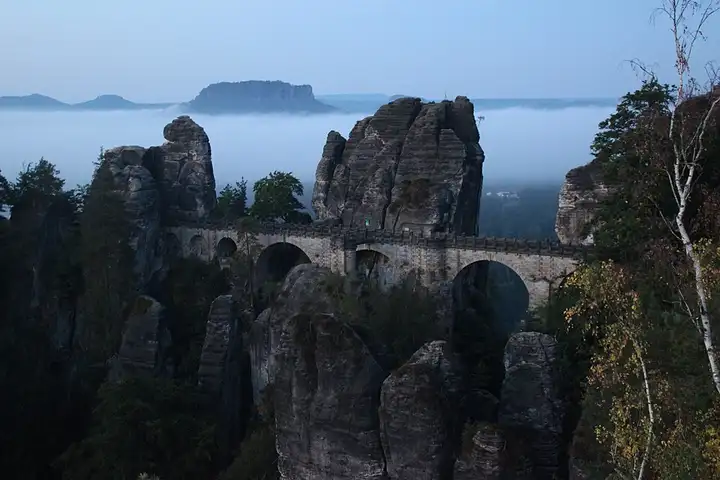
Saxon Switzerland: the Bastei and Königstein fortress
52 km (33 miles), 1 hr 15 min, intermediate
Photo: Lukas Beck, CC BY-SA 4.0, resizedMotorcycle ride in Saxony
38 km (24 miles), 1 hr, beginner
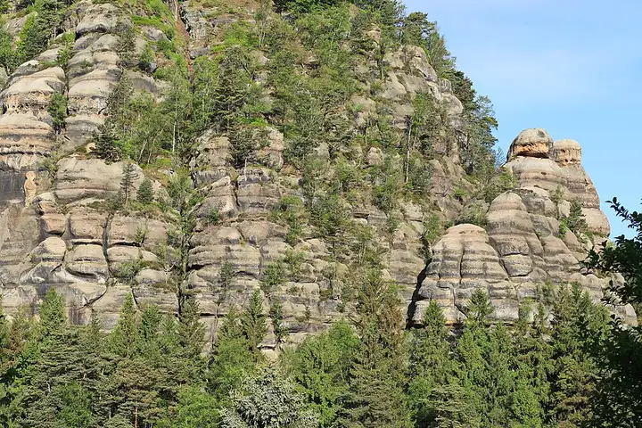
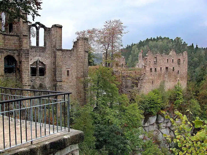
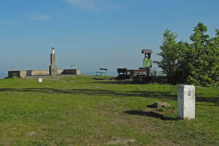
Often described as the smallest low mountain range in Germany, the Zittau Mountains sit against the Czech border, with sculpted sandstone rocks and wooded summits linked by many hiking trails. From Zittau, the road climbs to Lückendorf along the course of its hill climb, drops back down to Oybin, whose sandstone rock carries the ruins of a castle and a monastery, then reaches Jonsdorf and Waltersdorf, at the foot of the Lausche, the highest point of the range. The roads are short, narrow and hilly; at weekends, the villages are packed with walkers and visitors to the little narrow-gauge steam railway.
Download the GPXTrack and stops as a GPX file, for a sat nav or another app.
In MotoLert, this ride is one of the roadbooks: its route, stops and photos are in the app. Premium guides you along it; camera zones and reported hazards stay free. The app is coming soon to iPhone.
52 km (33 miles), 1 hr 15 min, intermediate
Photo: Lukas Beck, CC BY-SA 4.0, resized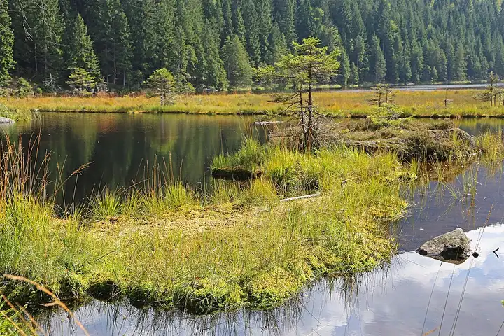
52 km (32 miles), 1 hr, beginner
Photo: W. Bulach, CC BY-SA 4.0, resized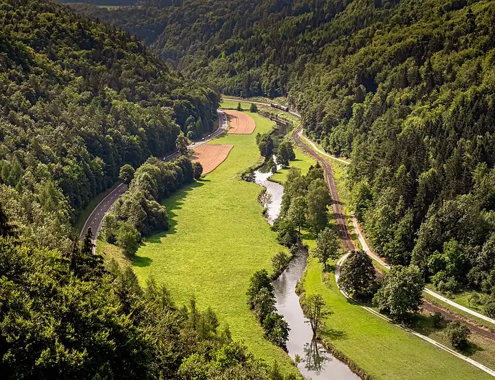
61 km (38 miles), 1 hr 15 min, beginner
Photo: Ermell, CC BY-SA 4.0, resizedRoads change: passes close in winter, roadworks, rockfalls, local restrictions. Check the road before you set off. MotoLert does not replace road signs or the Highway Code.
Route planned by MotoLert with Valhalla on © OpenStreetMap contributors data (ODbL). Photos from Wikimedia Commons, with the author and licence under each image.