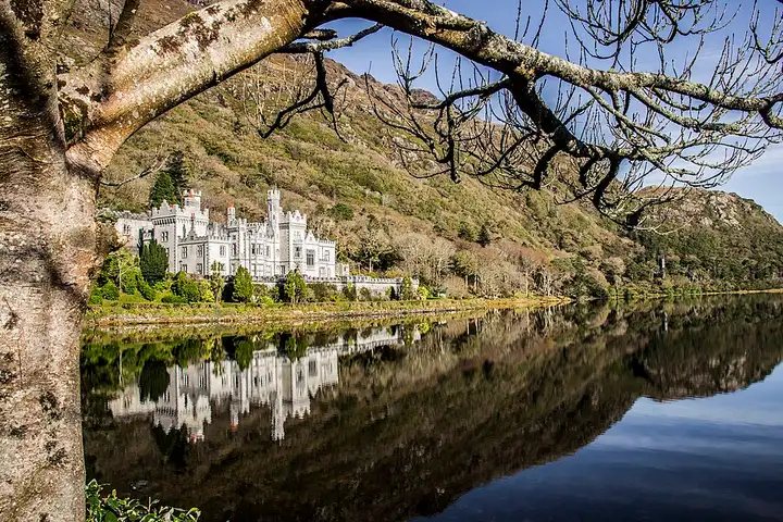
Connemara: Sky Road, Kylemore and Doolough
75 km (47 miles), 1 hr 30 min, intermediate
Photo: Dieglop, CC BY-SA 4.0, resizedMotorcycle ride in Connacht
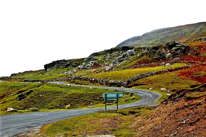
79 km (49 miles), 1 hr 50 min, intermediate
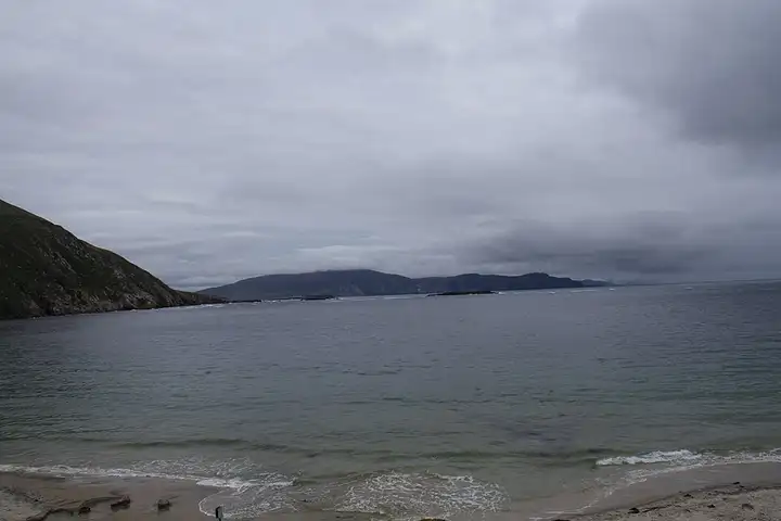
Linked to the mainland by a bridge at Achill Sound, Achill Island draws walkers to Croaghaun, whose cliffs are described as the highest sea cliffs in Ireland, reached on foot from Keem Bay. From Mulranny, the Atlantic Drive goes round the Corraun peninsula, crosses the bridge, then heads down to Grace O’Malley’s 15th-century tower. It rounds the southern tip of the island via Cloughmore and the white cliffs of Ashleam before winding down to Dooega. You then carry on via Keel and Dooagh to Keem, at the end of a road cut into the mountainside high above the sea, then return towards Doogort, at the foot of Slievemore and its deserted village. Narrow roads with few places to pass, sheep on the road and the Keem car park full in summer: aim for early morning or late in the day.
Download the GPXTrack and stops as a GPX file, for a sat nav or another app.
In MotoLert, this ride is one of the roadbooks: its route, stops and photos are in the app. Premium guides you along it; camera zones and reported hazards stay free. The app is coming soon to iPhone.
75 km (47 miles), 1 hr 30 min, intermediate
Photo: Dieglop, CC BY-SA 4.0, resized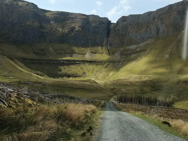
81 km (50 miles), 2 hr 10 min, intermediate
Photo: Cabrehony, CC BY-SA 4.0, resized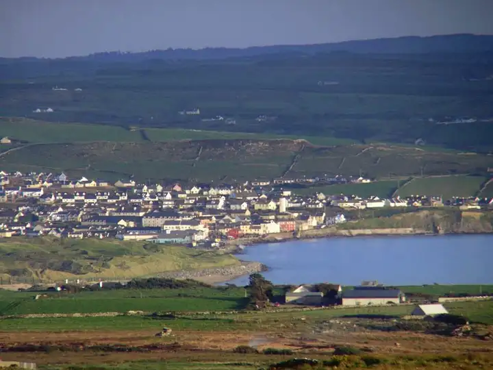
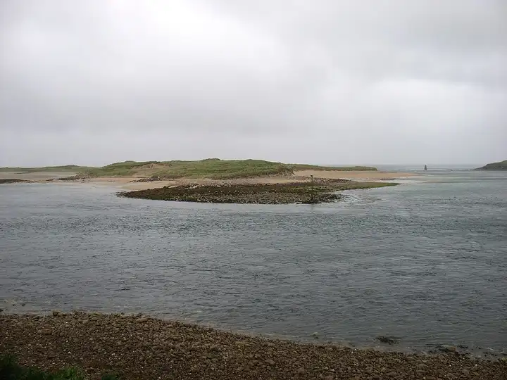
49 km (30 miles), 55 min, beginner
Photo: Bogman, CC BY-SA 2.5, resizedRoads change: passes close in winter, roadworks, rockfalls, local restrictions. Check the road before you set off. MotoLert does not replace road signs or the Highway Code.
Route planned by MotoLert with Valhalla on © OpenStreetMap contributors data (ODbL). Photos from Wikimedia Commons, with the author and licence under each image.