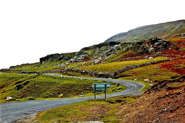
Achill Island: Atlantic Drive and Keem Bay
79 km (49 miles), 1 hr 50 min, intermediate
Photo: Joseph Mischyshyn, CC BY-SA 2.0, resizedMotorcycle ride in Connacht
75 km (47 miles), 1 hr 30 min, intermediate
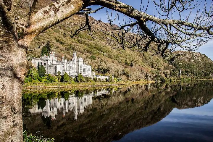
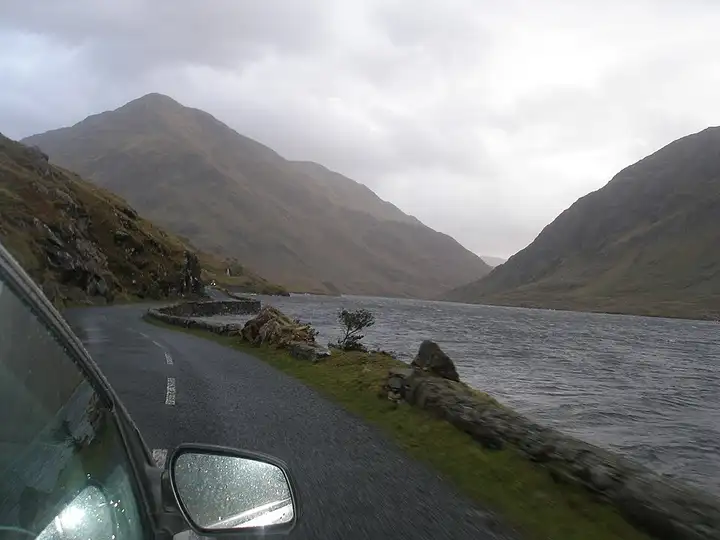
From Clifden, capital of Connemara, the Sky Road overlooks the Atlantic before reaching Letterfrack and Kylemore Abbey, beside its lake. The road then follows the Killary fjord to Leenaun, then crosses the empty Doolough valley to Louisburgh. Moorland, lakes and mountains.
Download the GPXTrack and stops as a GPX file, for a sat nav or another app.
In MotoLert, this ride is one of the roadbooks: its route, stops and photos are in the app. Premium guides you along it; camera zones and reported hazards stay free. The app is coming soon to iPhone.
79 km (49 miles), 1 hr 50 min, intermediate
Photo: Joseph Mischyshyn, CC BY-SA 2.0, resized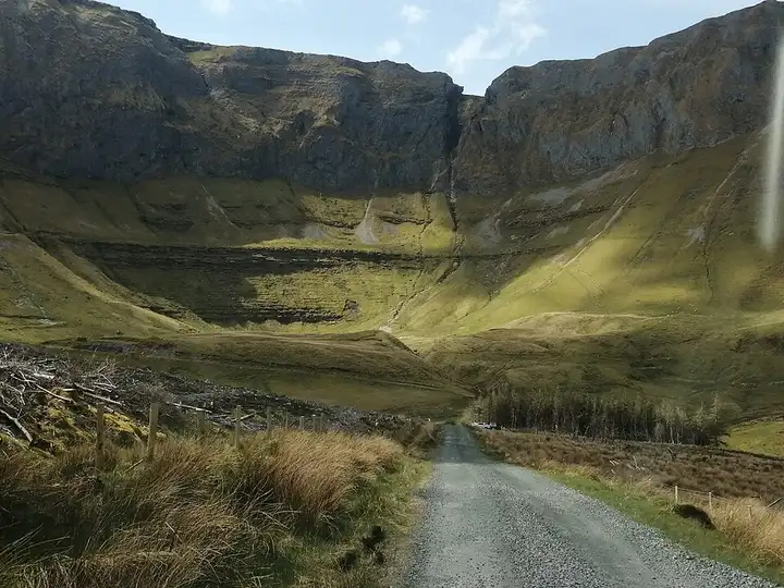
81 km (50 miles), 2 hr 10 min, intermediate
Photo: Cabrehony, CC BY-SA 4.0, resized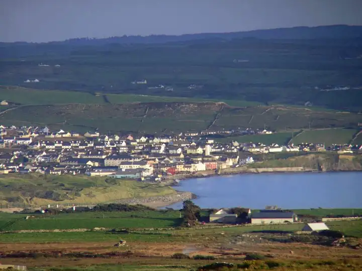
49 km (30 miles), 55 min, beginner
Photo: Bogman, CC BY-SA 2.5, resizedRoads change: passes close in winter, roadworks, rockfalls, local restrictions. Check the road before you set off. MotoLert does not replace road signs or the Highway Code.
Route planned by MotoLert with Valhalla on © OpenStreetMap contributors data (ODbL). Photos from Wikimedia Commons, with the author and licence under each image.