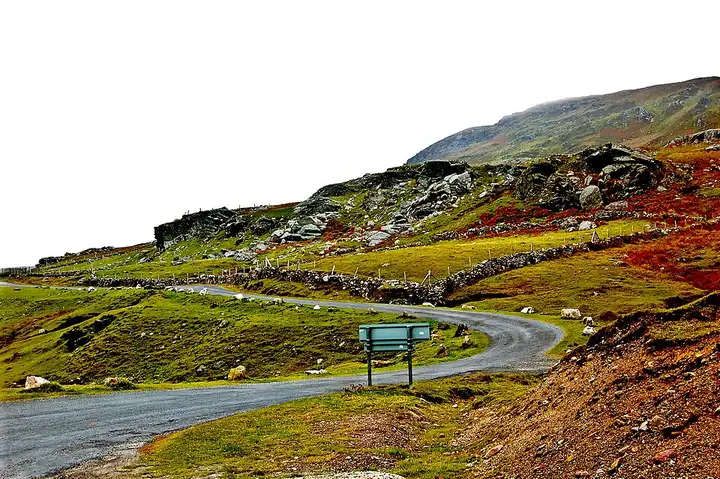
Achill Island: Atlantic Drive and Keem Bay
79 km (49 miles), 1 hr 50 min, intermediate
Photo: Joseph Mischyshyn, CC BY-SA 2.0, resizedMotorcycle ride in Connacht
81 km (50 miles), 2 hr 10 min, intermediate
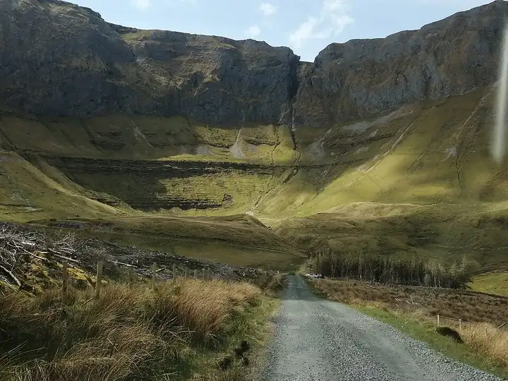
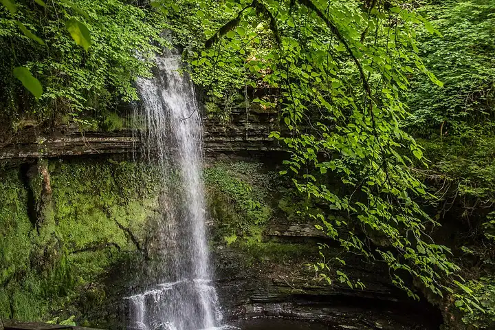
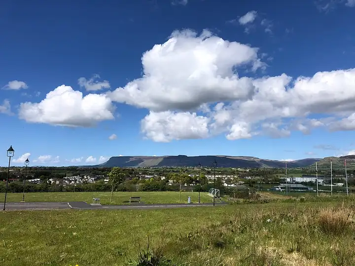
North of Sligo, the flat-topped outline of Benbulben and the Dartry Mountains form one of the most recognisable landscapes in Ireland. Walkers explore it by the Benwiskin trail, the Gleniff barytes mine site or the Glencar Waterfall walk. From Sligo, the N15 passes through Drumcliff, home to the grave of the poet W. B. Yeats. A small road then leads to the Gleniff Horseshoe, a loop of about ten kilometres on paved single-track road at the bottom of a glacial valley, overlooked by Benwiskin and Truskmore. Via Kinlough, the R280 then crosses the glacial Glenade valley and its lake to Manorhamilton, and the N16 takes you back towards Sligo past Glencar Lough and its waterfall. The Gleniff is narrow and steep in places, shared with tractors, cyclists and walkers: do not park in passing places or in front of farm entrances.
Download the GPXTrack and stops as a GPX file, for a sat nav or another app.
In MotoLert, this ride is one of the roadbooks: its route, stops and photos are in the app. Premium guides you along it; camera zones and reported hazards stay free. The app is coming soon to iPhone.
79 km (49 miles), 1 hr 50 min, intermediate
Photo: Joseph Mischyshyn, CC BY-SA 2.0, resized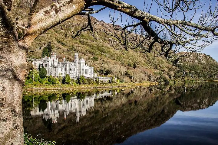
75 km (47 miles), 1 hr 30 min, intermediate
Photo: Dieglop, CC BY-SA 4.0, resized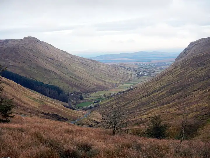
61 km (38 miles), 1 hr 15 min, intermediate
Photo: Wilson44691, CC0, resizedRoads change: passes close in winter, roadworks, rockfalls, local restrictions. Check the road before you set off. MotoLert does not replace road signs or the Highway Code.
Route planned by MotoLert with Valhalla on © OpenStreetMap contributors data (ODbL). Photos from Wikimedia Commons, with the author and licence under each image.