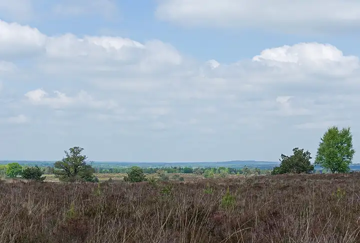
Sallandse Heuvelrug National Park and the Holterberg
38 km (24 miles), 1 hr 5 min, beginner
Photo: Ymblanter, CC BY-SA 4.0, resizedMotorcycle ride in Drenthe
42 km (26 miles), 1 hr 5 min, beginner
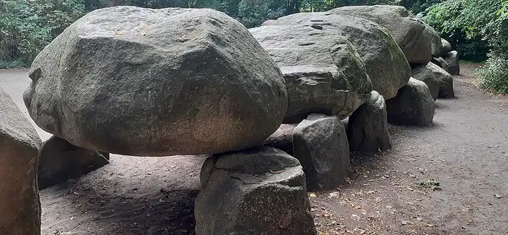
The Hondsrug, a long sandy ridge in Drenthe, has been a UNESCO Global Geopark since 2015 and is the land of the hunebedden, prehistoric dolmens linked by many walking paths. The route follows the Hondsrug route suggested by the ANWB, from Rolde to Gieten, then Gasselte and Drouwen, along the edge of the Drouwenerzand, a former area of drifting dunes dotted with junipers. In Borger, the national hunebed information centre stands next to the largest dolmen in the Netherlands, 22 m long; the road then continues through Exloo to Emmen. Some of the roads are shared with cyclists and walkers: take it easy.
Download the GPXTrack and stops as a GPX file, for a sat nav or another app.
In MotoLert, this ride is one of the roadbooks: its route, stops and photos are in the app. Premium guides you along it; camera zones and reported hazards stay free. The app is coming soon to iPhone.
38 km (24 miles), 1 hr 5 min, beginner
Photo: Ymblanter, CC BY-SA 4.0, resized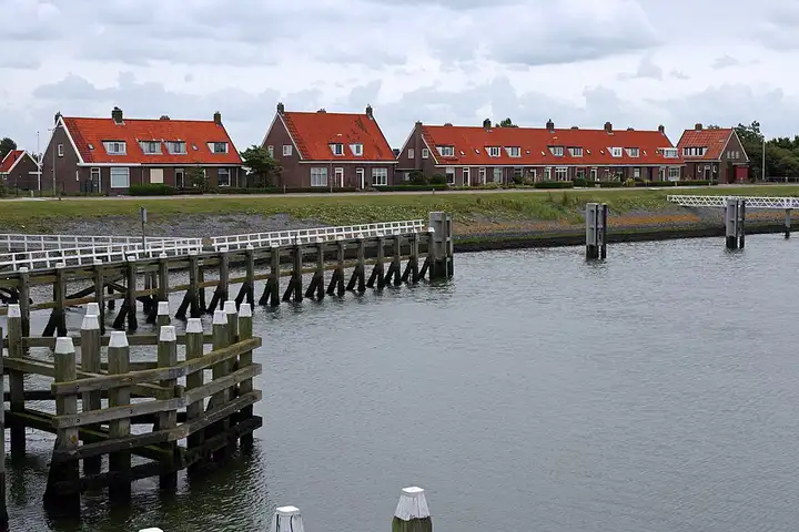
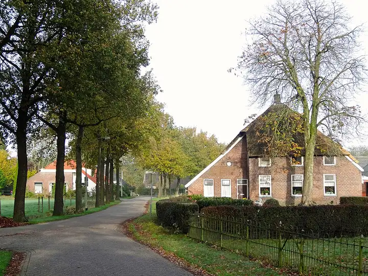
36 km (22 miles), 40 min, beginner
Photo: Bert Kaufmann, CC BY-SA 3.0, resized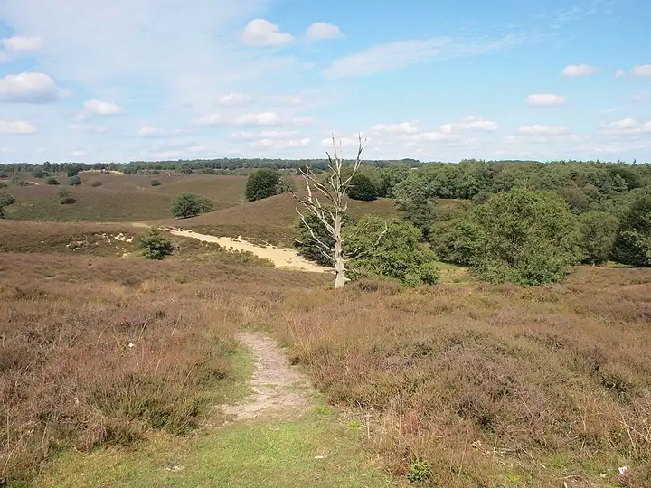
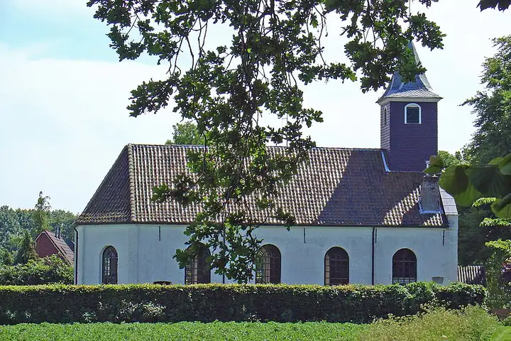
61 km (38 miles), 1 hr 25 min, beginner
Photo: Michielderoo, CC BY-SA 3.0, resizedRoads change: passes close in winter, roadworks, rockfalls, local restrictions. Check the road before you set off. MotoLert does not replace road signs or the Highway Code.
Route planned by MotoLert with Valhalla on © OpenStreetMap contributors data (ODbL). Photos from Wikimedia Commons, with the author and licence under each image.