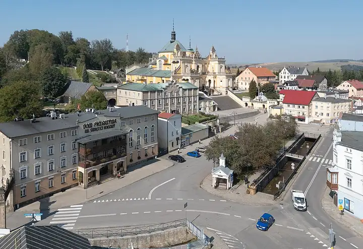
Road of a Hundred Bends (Góry Stołowe)
41 km (25 miles), 50 min, intermediate
Photo: Jacek Halicki, CC BY-SA 4.0, resizedMotorcycle ride in Lower Silesia
81 km (50 miles), 1 hr 55 min, intermediate
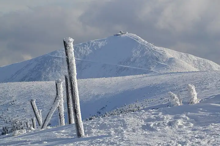
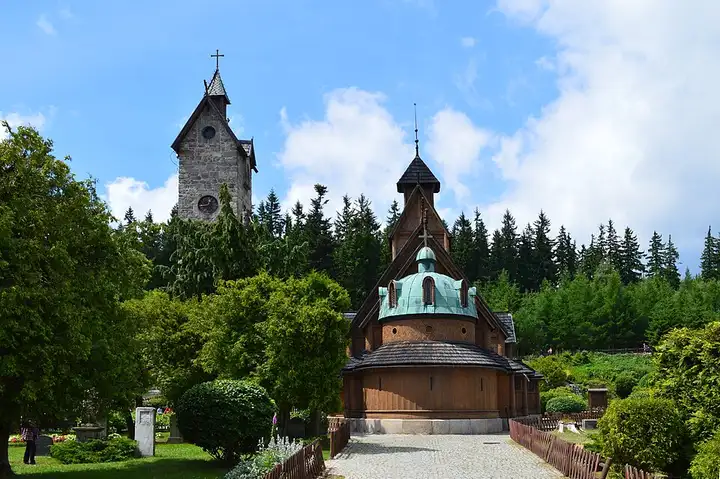
On the Polish side, the Karkonosze (Giant Mountains) draw hikers to Śnieżka, the highest peak in the range, and to the waterfalls of Karkonosze National Park. From Jelenia Góra, the road goes through Kowary and climbs to the Okraj border pass, the start of a loop to Śnieżka via Skalny Stół, then drops down to Karpacz and the Wang Temple, a wooden church brought from Norway, where other paths to the summit begin. You then cross the Jelenia Góra valley to the car park for the Szklarki waterfall, about ten minutes' walk away, before finishing at Szklarska Poręba, the gateway to the Kamieńczyk waterfall. There is a fee to enter the national park, and car parks are full in high season.
Download the GPXTrack and stops as a GPX file, for a sat nav or another app.
In MotoLert, this ride is one of the roadbooks: its route, stops and photos are in the app. Premium guides you along it; camera zones and reported hazards stay free. The app is coming soon to iPhone.
41 km (25 miles), 50 min, intermediate
Photo: Jacek Halicki, CC BY-SA 4.0, resized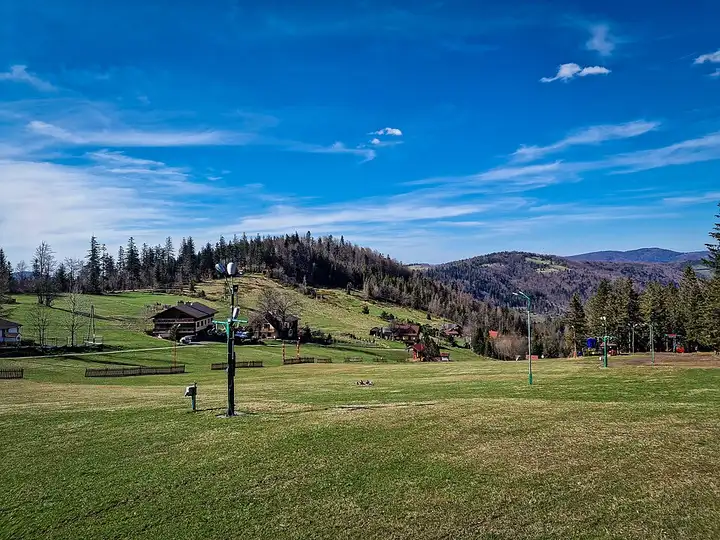
56 km (35 miles), 1 hr 15 min, intermediate
Photo: Andrzej Kępys, CC BY-SA 4.0, resized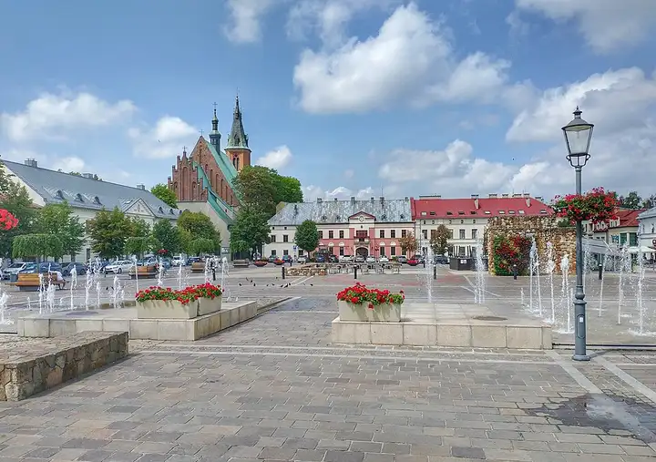
104 km (65 miles), 2 hr 15 min, beginner
Photo: MOs810, CC BY 4.0, resizedRoads change: passes close in winter, roadworks, rockfalls, local restrictions. Check the road before you set off. MotoLert does not replace road signs or the Highway Code.
Route planned by MotoLert with Valhalla on © OpenStreetMap contributors data (ODbL). Photos from Wikimedia Commons, with the author and licence under each image.