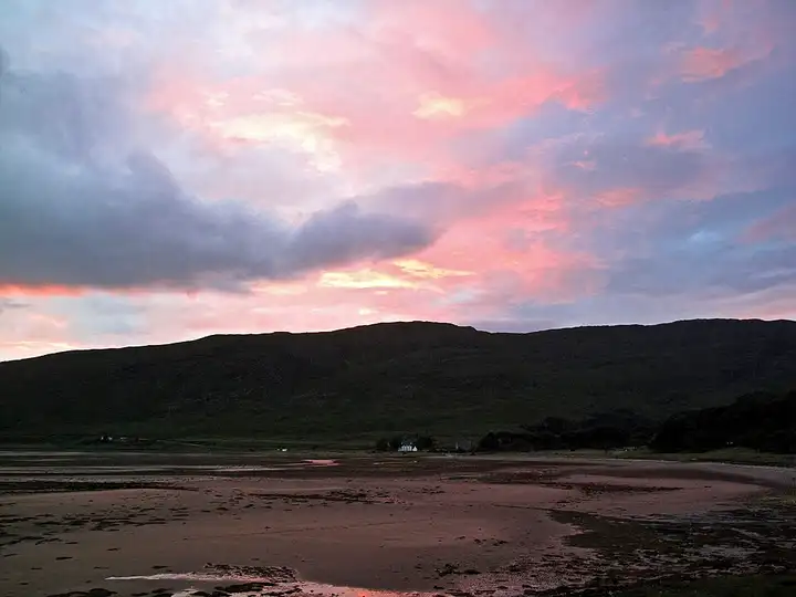
Bealach na Bà and the Applecross coast
42 miles (68 km), 1 hr 55 min, advanced
Photo: brian gillman, CC BY 3.0, resizedMotorcycle ride in Scotland
42 miles (67 km), 1 hr 20 min, intermediate
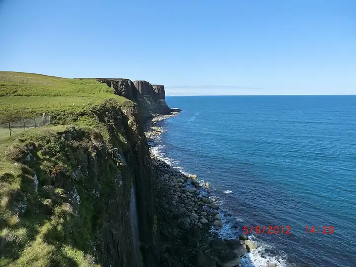
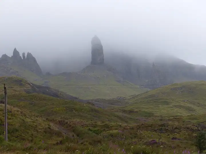
In the north of the Isle of Skye, the Trotternish peninsula brings together two of the most popular walks in Scotland: the rock pinnacle of the Old Man of Storr and the jagged cliffs of the Quiraing. From Portree, the A855 follows the east coast, partly single-track with passing places. It serves the Kilt Rock viewpoint, whose basalt columns look like the pleats of a kilt, facing Mealt Falls, which drop into the sea. At Staffin, a small single-track road climbs steeply to the Quiraing car park at the top of the pass, then drops over to Uig before the return to Portree. The Storr and Quiraing car parks are paid and overrun in summer: set off early, use the passing places to let others by, and watch out for free-roaming sheep.

Download the GPXTrack and stops as a GPX file, for a sat nav or another app.
In MotoLert, this ride is one of the roadbooks: its route, stops and photos are in the app. Premium guides you along it; camera zones and reported hazards stay free. The app is coming soon to iPhone.
42 miles (68 km), 1 hr 55 min, advanced
Photo: brian gillman, CC BY 3.0, resized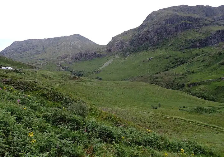
46 miles (75 km), 1 hr 15 min, beginner
Photo: habiloid, CC BY-SA 2.0, resized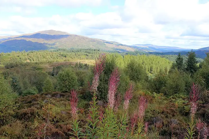
26 miles (41 km), 50 min, intermediate
Photo: Mimihitam, CC BY-SA 3.0, resizedRoads change: passes close in winter, roadworks, rockfalls, local restrictions. Check the road before you set off. MotoLert does not replace road signs or the Highway Code.
Route planned by MotoLert with Valhalla on © OpenStreetMap contributors data (ODbL). Photos from Wikimedia Commons, with the author and licence under each image.