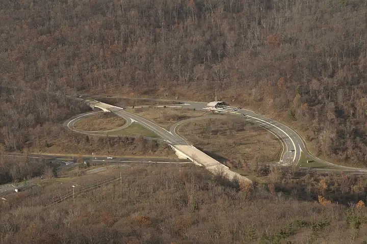
Skyline Drive (Shenandoah National Park)
68 miles (109 km), 1 hr 50 min, beginner
Photo: Aneta Kaluzna, CC BY-SA 3.0, resizedMotorcycle ride in New Hampshire
35 miles (56 km), 55 min, beginner
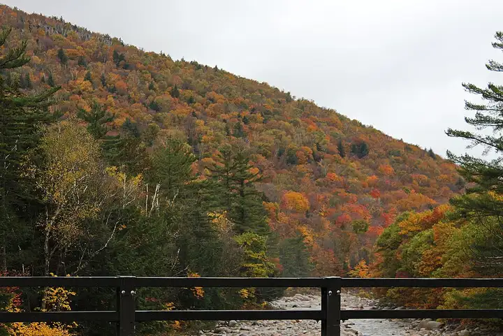
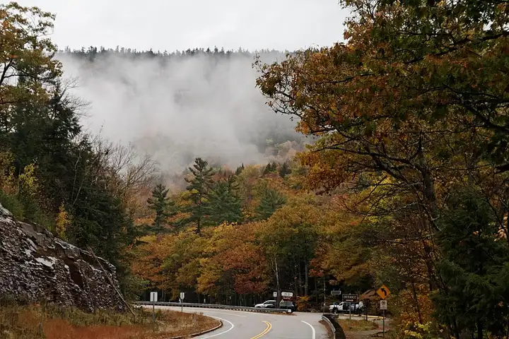
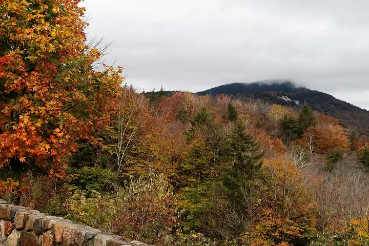
NH 112, nicknamed "the Kanc", crosses the White Mountain National Forest for about 56 km between Lincoln and Conway and tops out at Kancamagus Pass, at around 870 m. It serves a series of very busy trailheads: Lincoln Woods, Sabbaday Falls about 500 m from the car park, the narrow Rocky Gorge and the Lower Falls cascades. The road, surfaced and open all year, mixes long curves through the forest with a few hairpins near the pass, and has viewpoints such as Pemigewasset and Sugar Hill. There is no petrol station, no restaurant and no mobile signal along the way, and the developed sites require a $5 day pass (America the Beautiful pass accepted).
Download the GPXTrack and stops as a GPX file, for a sat nav or another app.
In MotoLert, this ride is one of the roadbooks: its route, stops and photos are in the app. Premium guides you along it; camera zones and reported hazards stay free. The app is coming soon to iPhone.
68 miles (109 km), 1 hr 50 min, beginner
Photo: Aneta Kaluzna, CC BY-SA 3.0, resized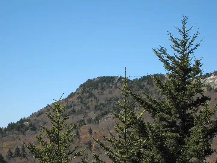
49 miles (79 km), 1 hr 20 min, beginner
Photo: Michael Sprague, CC BY-SA 2.0, resized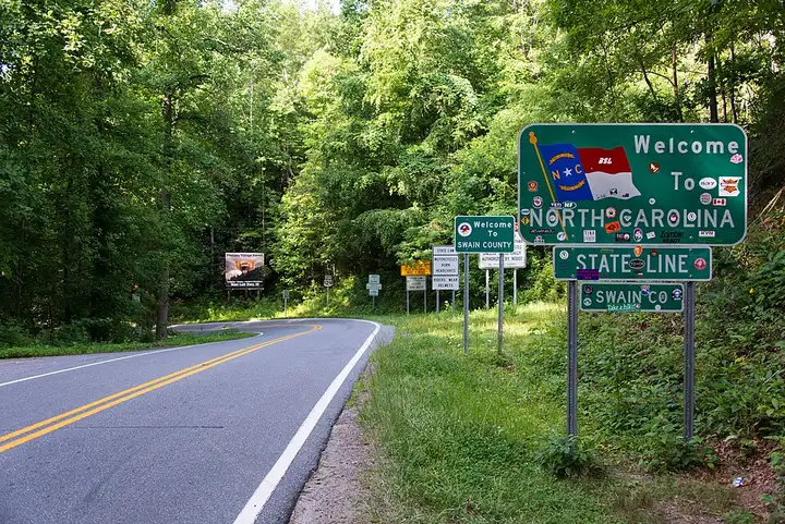
36 miles (58 km), 50 min, advanced
Photo: Washuotaku, CC BY-SA 4.0, resizedRoads change: passes close in winter, roadworks, rockfalls, local restrictions. Check the road before you set off. MotoLert does not replace road signs or the Highway Code.
Route planned by MotoLert with Valhalla on © OpenStreetMap contributors data (ODbL). Photos from Wikimedia Commons, with the author and licence under each image.