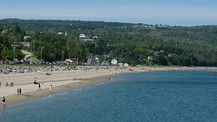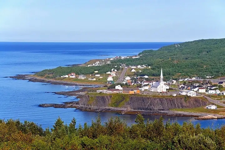
Haute-Gaspésie, from Sainte-Anne-des-Monts to Rivière-au-Renard
178 km (110 miles), 2 hr 45 min, intermediate
Photo: Dennis G. Jarvis, CC BY-SA 2.0, resizedCanada
2 motorcycle rides in Quebec (Canada), with their route, stops and level.
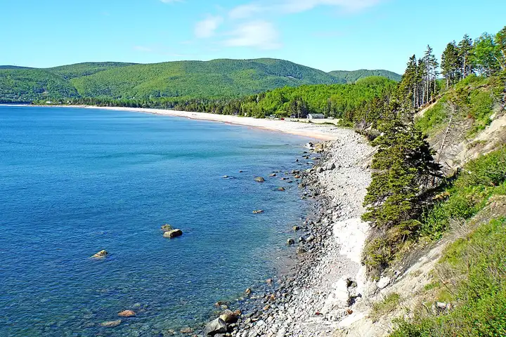
99 km (61 miles), 1 hr 35 min, intermediate
Photo: Dennis G. Jarvis, CC BY-SA 2.0, resized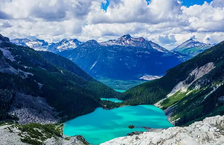
101 km (62 miles), 1 hr 35 min, advanced
Photo: Madhumanti Mandal, CC BY-SA 4.0, resized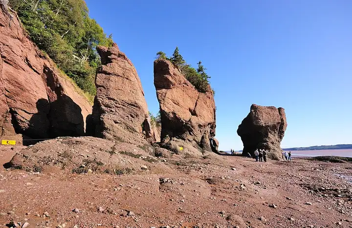
141 km (88 miles), 2 hr 20 min, beginner
Photo: Wladyslaw, CC BY-SA 3.0, resized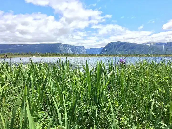
116 km (72 miles), 1 hr 25 min, beginner
Photo: Atticus lyon, CC BY-SA 4.0, resized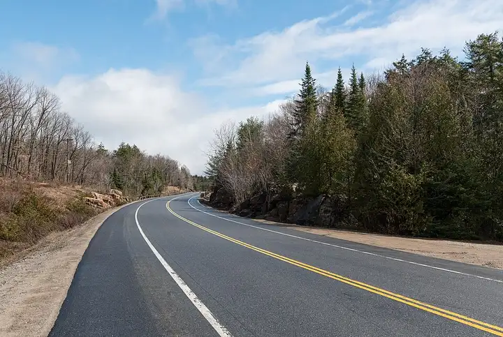
105 km (65 miles), 1 hr 30 min, beginner
Photo: DXR, CC BY-SA 4.0, resized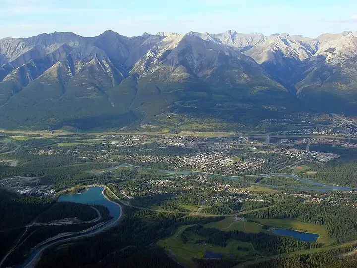
181 km (112 miles), 2 hr 5 min, intermediate
Photo: Vintotal, CC BY-SA 3.0, resizedRoads change: passes close in winter, roadworks, rockfalls, local restrictions. Check the road before you set off. MotoLert does not replace road signs or the Highway Code.
Route planned by MotoLert with Valhalla on © OpenStreetMap contributors data (ODbL). Photos from Wikimedia Commons, with the author and licence under each image.