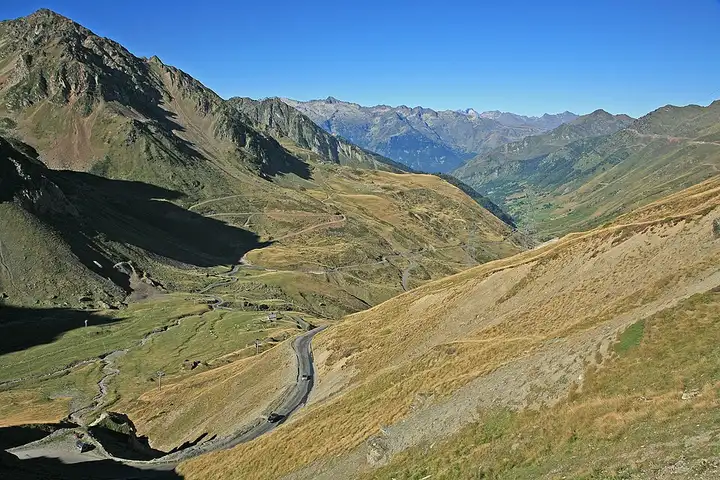
Col du Tourmalet and Col d’Aspin
62 km (38 miles), 1 hr 25 min, advanced
Photo: W. Bulach, CC BY-SA 4.0, resizedMotorcycle ride in Occitanie
30 km (19 miles), 40 min, intermediate
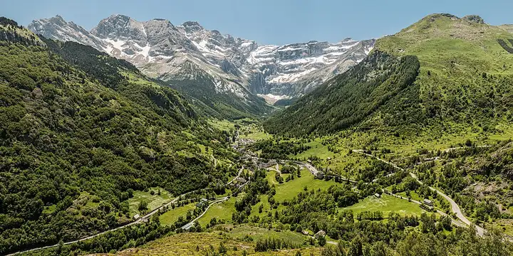
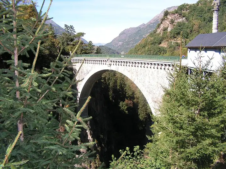
From Luz-Saint-Sauveur, the road crosses the Pont Napoléon then climbs the valley of the mountain river to Gèdre and Gavarnie. This is the start of the very busy path to the foot of the cirque and the Hôtellerie du Cirque, a walk of 45 minutes to an hour and a quarter depending on your pace. From the village, the D923 climbs past the Espécières ski station to the Col des Tentes, where a large car park is the start of hikes towards the Brèche de Roland; beyond it, the old road to the Port de Boucharo is closed to vehicles and can be walked. The pass road is closed in winter and for part of the spring (best from early June to late October, depending on snow). The car parks at the pass and in the village, which charge in season, fill up in summer: set off early. The route stops at the pass: you come back the same way.
Download the GPXTrack and stops as a GPX file, for a sat nav or another app.
In MotoLert, this ride is one of the roadbooks: its route, stops and photos are in the app. Premium guides you along it; camera zones and reported hazards stay free. The app is coming soon to iPhone.
62 km (38 miles), 1 hr 25 min, advanced
Photo: W. Bulach, CC BY-SA 4.0, resized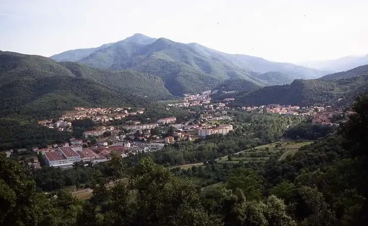
77 km (48 miles), 1 hr 45 min, intermediate
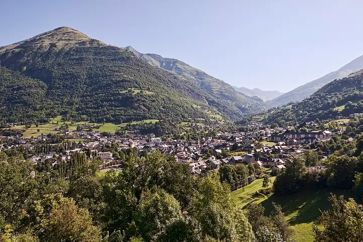
Photo: Jean-Pierre Bazard, CC BY-SA 3.0, resized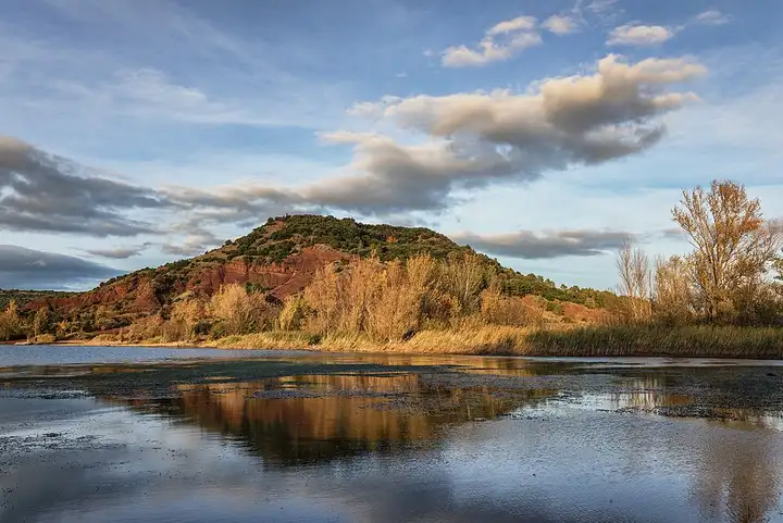
38 km (23 miles), 55 min, beginner
Photo: Christian Ferrer, CC BY 4.0, resizedRoads change: passes close in winter, roadworks, rockfalls, local restrictions. Check the road before you set off. MotoLert does not replace road signs or the Highway Code.
Route planned by MotoLert with Valhalla on © OpenStreetMap contributors data (ODbL). Photos from Wikimedia Commons, with the author and licence under each image.