
Lac du Salagou and the Cirque de Mourèze
38 km (23 miles), 55 min, beginner
Photo: Christian Ferrer, CC BY 4.0, resizedMotorcycle ride in Occitanie
77 km (48 miles), 1 hr 45 min, intermediate
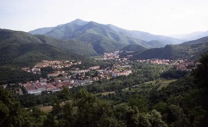
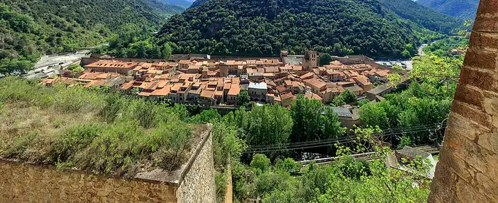
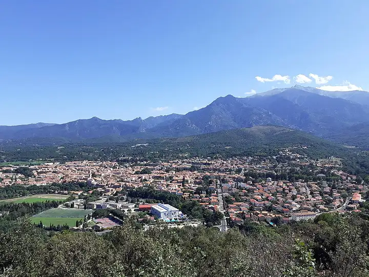
The Canigou, the mountain that stands as a symbol for the Catalans, draws walkers to its summit and trails; its high tracks, unsurfaced and regulated, are not for road motorcycles. This route goes round the massif on tarmac. From Vernet-les-Bains, at its foot, it drops towards Villefranche-de-Conflent and its ramparts, crosses Prades and the Conflent, then goes over the Col Xatard on a narrow, twisty road before dropping into the Vallespir to Amélie-les-Bains and Arles-sur-Tech.
Download the GPXTrack and stops as a GPX file, for a sat nav or another app.
In MotoLert, this ride is one of the roadbooks: its route, stops and photos are in the app. Premium guides you along it; camera zones and reported hazards stay free. The app is coming soon to iPhone.
38 km (23 miles), 55 min, beginner
Photo: Christian Ferrer, CC BY 4.0, resized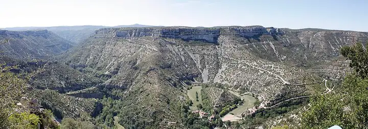
77 km (48 miles), 1 hr 45 min, intermediate
Photo: Daniel Villafruela, CC BY-SA 3.0, resized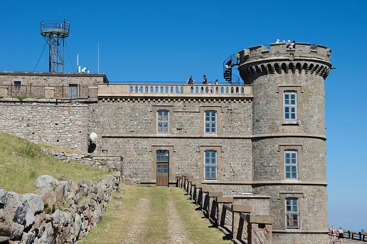
59 km (37 miles), 1 hr 25 min, intermediate
Photo: Anthony Morel, CC BY-SA 4.0, resizedRoads change: passes close in winter, roadworks, rockfalls, local restrictions. Check the road before you set off. MotoLert does not replace road signs or the Highway Code.
Route planned by MotoLert with Valhalla on © OpenStreetMap contributors data (ODbL). Photos from Wikimedia Commons, with the author and licence under each image.