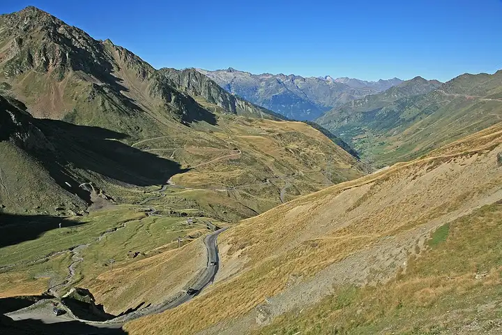
Col du Tourmalet and Col d’Aspin
62 km (38 miles), 1 hr 25 min, advanced
Photo: W. Bulach, CC BY-SA 4.0, resizedMotorcycle ride in Nouvelle-Aquitaine
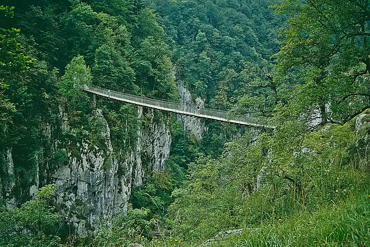
66 km (41 miles), 1 hr 45 min, advanced
This crossing of the inland Basque Country links Saint-Jean-Pied-de-Port to the Soule via the Col de Bagargui, where the Chalets d’Iraty mark the entrance to the forested Iraty plateau, a large area for hiking and mountain biking. The descent to Larrau is steep, with double-digit gradients and a series of hairpins. The road then follows the mountain river to the Logibar bridge, where a path leads in about an hour to the Holzarte suspension footbridge, above the Olhadubi gorges. You finish in the Sainte-Engrâce valley, at the entrance to the Kakuetta gorges, a site with an entry fee, where a path fitted with footbridges leads to a waterfall. Narrow, twisty roads and possible animals on the road: ride well within your limits and check for snow out of season.
Download the GPXTrack and stops as a GPX file, for a sat nav or another app.
In MotoLert, this ride is one of the roadbooks: its route, stops and photos are in the app. Premium guides you along it; camera zones and reported hazards stay free. The app is coming soon to iPhone.
62 km (38 miles), 1 hr 25 min, advanced
Photo: W. Bulach, CC BY-SA 4.0, resized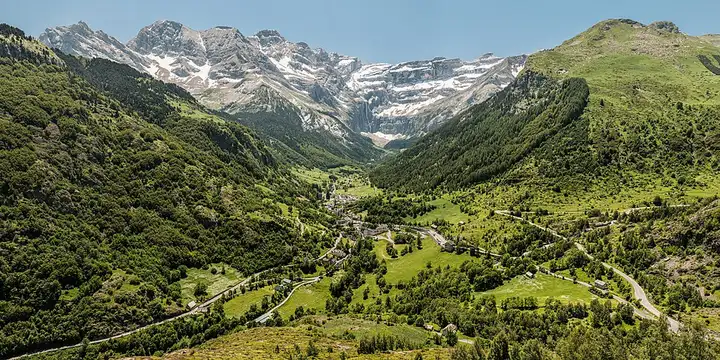
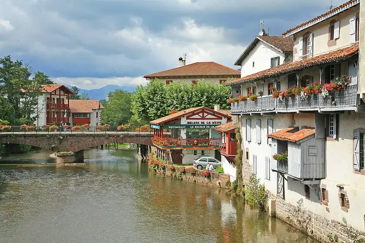
30 km (19 miles), 40 min, intermediate
Photo: Benh LIEU SONG, CC BY-SA 3.0, resized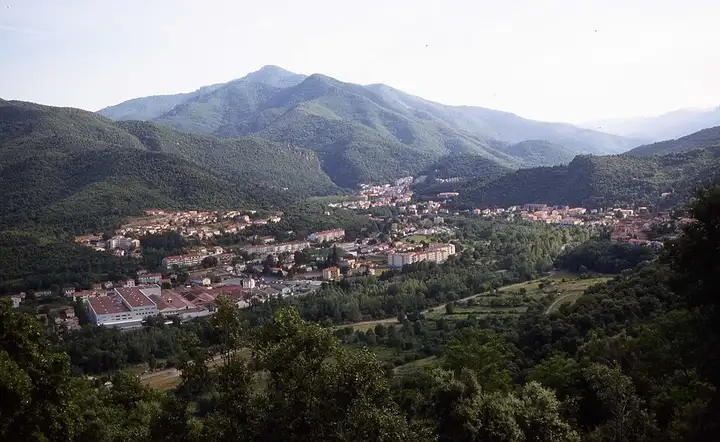
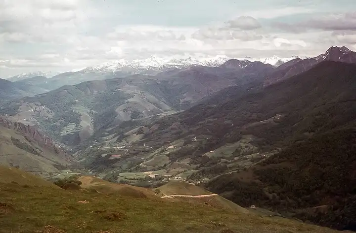
77 km (48 miles), 1 hr 45 min, intermediate
Photo: Jean-Pierre Bazard, CC BY-SA 3.0, resizedRoads change: passes close in winter, roadworks, rockfalls, local restrictions. Check the road before you set off. MotoLert does not replace road signs or the Highway Code.
Route planned by MotoLert with Valhalla on © OpenStreetMap contributors data (ODbL). Photos from Wikimedia Commons, with the author and licence under each image.