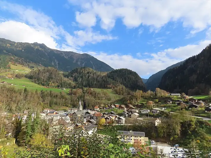
Lac de Roselend and Cormet de Roselend, from the Beaufortain to the Tarentaise
59 km (37 miles), 1 hr 20 min, intermediate
Photo: Rémih, CC BY-SA 4.0, resizedMotorcycle ride in Bourgogne-Franche-Comté
70 km (43 miles), 1 hr 30 min, intermediate
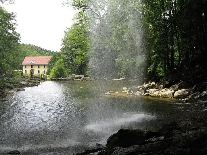
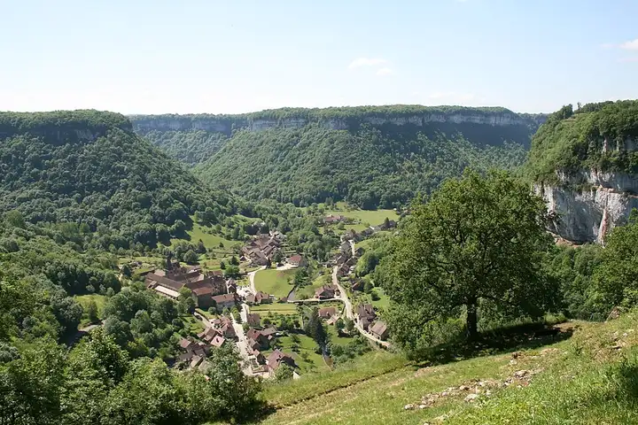
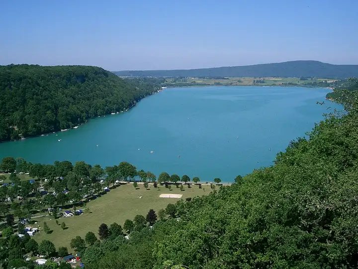
This loop links two major natural sites in the Jura, both very popular with walkers: the blind valley of Baume-les-Messieurs and the lake plateau around the Hérisson waterfalls. From Lons-le-Saunier, the D70 runs up via Voiteur and Nevy-sur-Seille to the head of the blind valley, with its village and abbey. You then go back the way you came to climb to the Roches de Baume viewpoint, which looks down over the cirque and where a very steep path drops to the Cascade des Tufs. Next you pass the Lac de Chalain before reaching the Quatre Lacs area and the hamlet of Ilay, where the Saut Girard car park is a five-minute walk from one of the Hérisson waterfalls. Narrow roads and full car parks in summer; the waterfall site is generally closed in winter for safety reasons.
Download the GPXTrack and stops as a GPX file, for a sat nav or another app.
In MotoLert, this ride is one of the roadbooks: its route, stops and photos are in the app. Premium guides you along it; camera zones and reported hazards stay free. The app is coming soon to iPhone.
59 km (37 miles), 1 hr 20 min, intermediate
Photo: Rémih, CC BY-SA 4.0, resized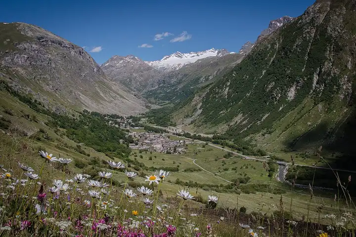
80 km (50 miles), 1 hr 40 min, advanced
Photo: Bonneval sur arc, CC BY-SA 4.0, resized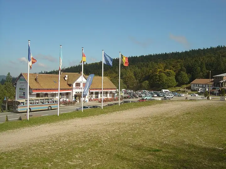
71 km (44 miles), 1 hr 40 min, intermediate
Photo: Anthospace, CC BY-SA 4.0, resizedRoads change: passes close in winter, roadworks, rockfalls, local restrictions. Check the road before you set off. MotoLert does not replace road signs or the Highway Code.
Route planned by MotoLert with Valhalla on © OpenStreetMap contributors data (ODbL). Photos from Wikimedia Commons, with the author and licence under each image.