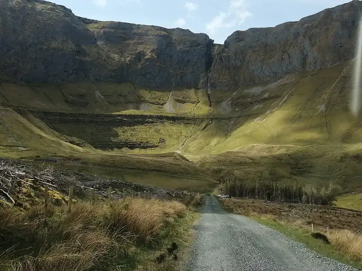
Benbulben, Gleniff Horseshoe and Glencar Waterfall
81 km (50 miles), 2 hr 10 min, intermediate
Photo: Cabrehony, CC BY-SA 4.0, resizedMotorcycle ride in Ulster
61 km (38 miles), 1 hr 15 min, intermediate
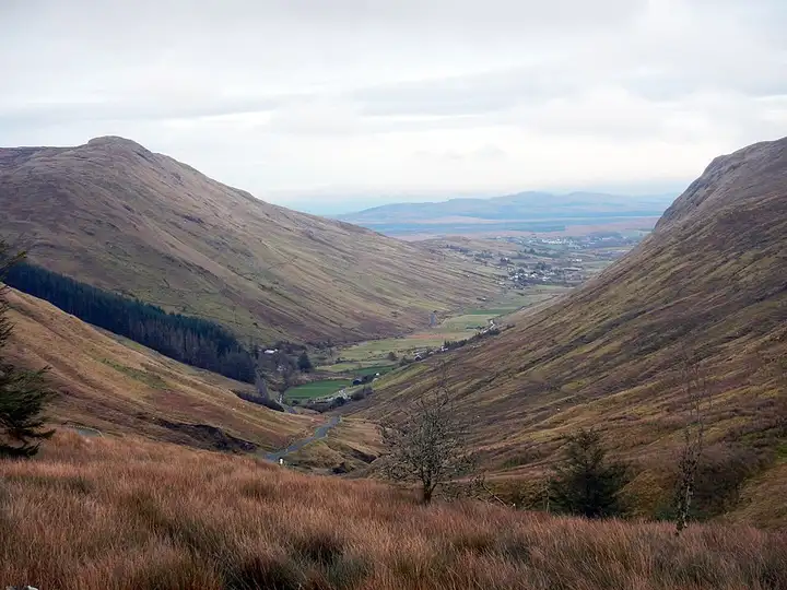
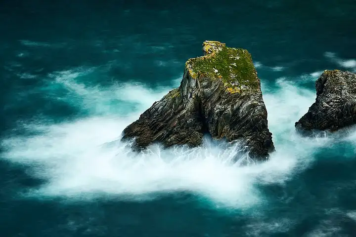
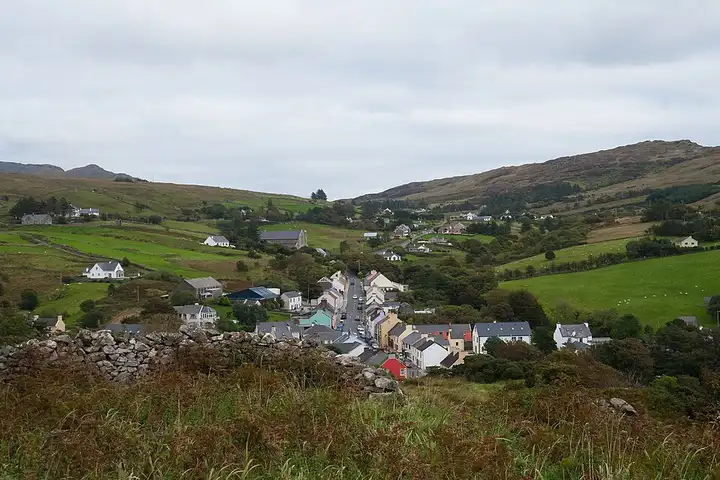
In south-west Donegal, the Sliabh Liag cliffs drop about 600 m into the Atlantic. Walkers climb them by the Pilgrim’s Path, and the most experienced venture onto the narrow ridge of One Man’s Pass. From the port of Killybegs, the R263 follows the coast via Kilcar and Carrick. From there a narrow road leads, via Teelin and the visitor centre, to the lower car park for the cliffs. The route then reaches Glencolmcille and its folk village museum, then the R230 crosses the Glengesh Pass, a narrow and very twisty road that climbs to about 270 m before plunging in hairpins to the valley and Ardara. In high season, the drive up to the upper car park at Bunglass is reserved for people with reduced mobility, and a shuttle leaves from the visitor centre. On the whole loop, watch out for walkers, wind and tight passing on the hairpins.
Download the GPXTrack and stops as a GPX file, for a sat nav or another app.
In MotoLert, this ride is one of the roadbooks: its route, stops and photos are in the app. Premium guides you along it; camera zones and reported hazards stay free. The app is coming soon to iPhone.
81 km (50 miles), 2 hr 10 min, intermediate
Photo: Cabrehony, CC BY-SA 4.0, resized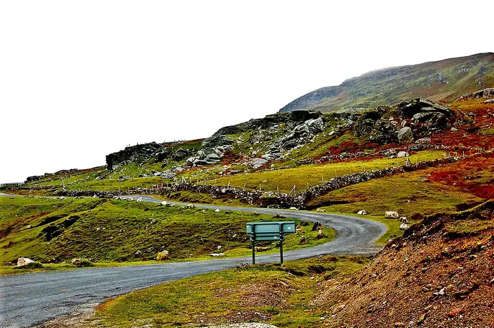
79 km (49 miles), 1 hr 50 min, intermediate
Photo: Joseph Mischyshyn, CC BY-SA 2.0, resized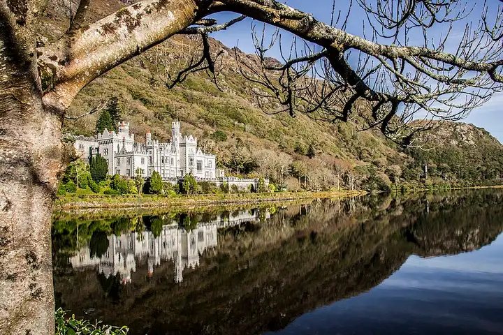
75 km (47 miles), 1 hr 30 min, intermediate
Photo: Dieglop, CC BY-SA 4.0, resizedRoads change: passes close in winter, roadworks, rockfalls, local restrictions. Check the road before you set off. MotoLert does not replace road signs or the Highway Code.
Route planned by MotoLert with Valhalla on © OpenStreetMap contributors data (ODbL). Photos from Wikimedia Commons, with the author and licence under each image.